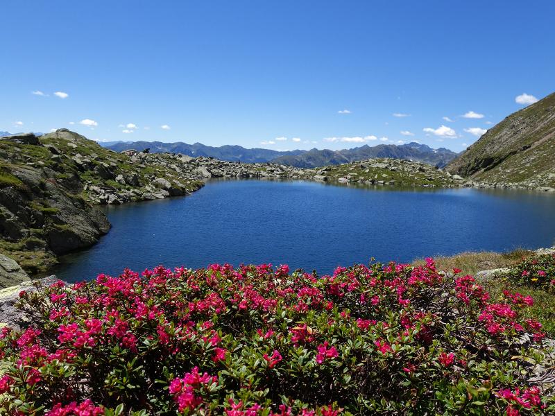
This hike to the Pojermoos biotope and Lake Schreinsee is perfect for people who want to stay away from the crowds and enjoy nature to its fullest
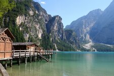
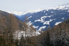
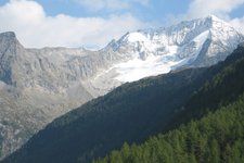
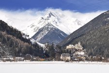
Image gallery: Via the Pojer alpine pastures to the Schreinsee lake
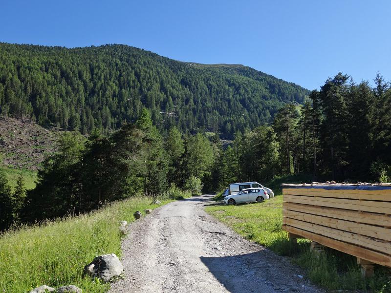
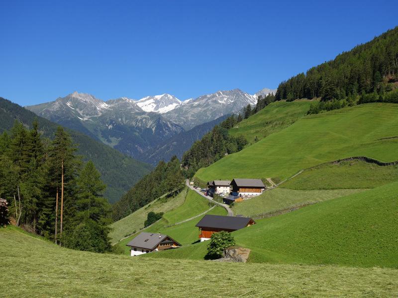
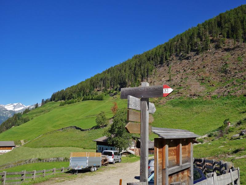
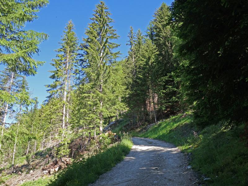
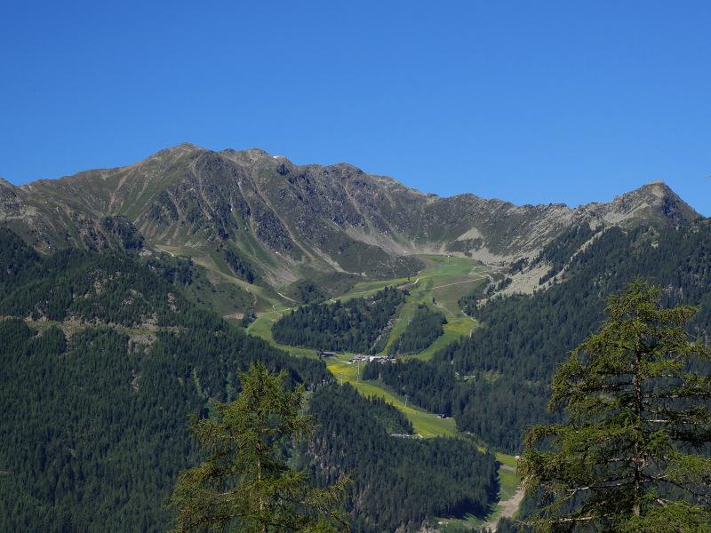
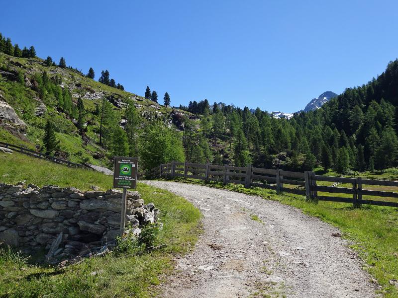
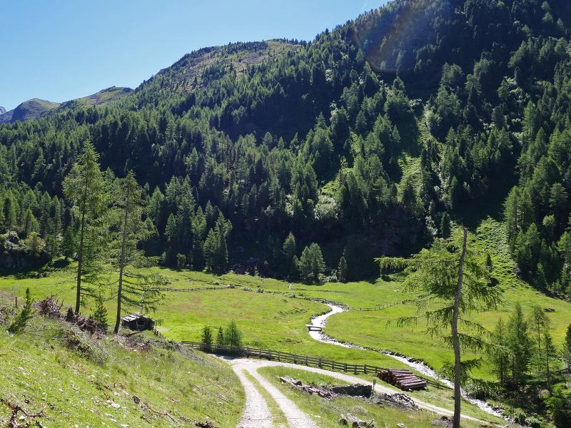
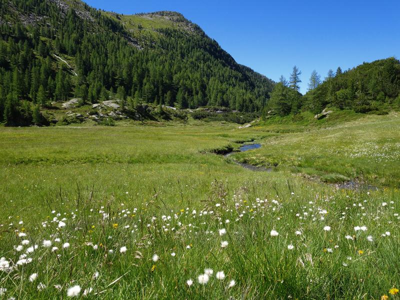
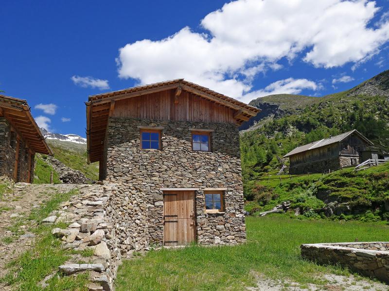
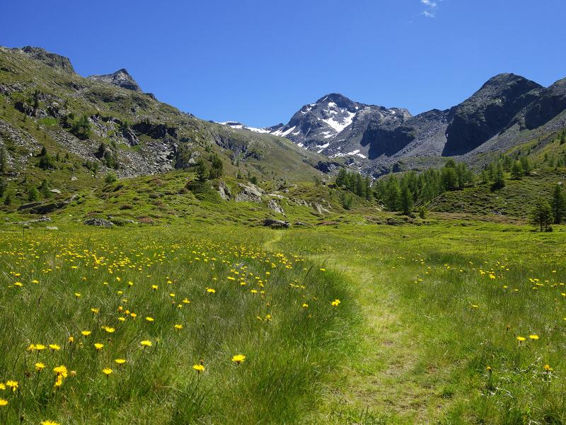
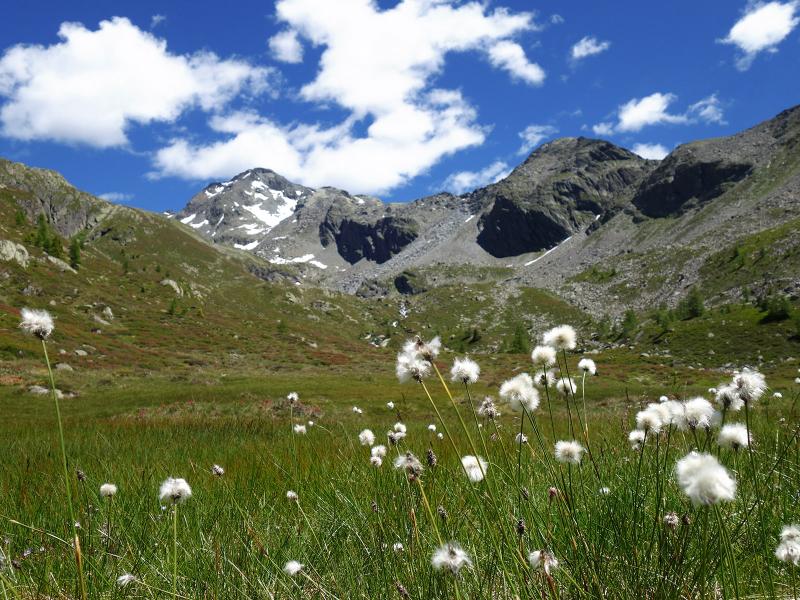
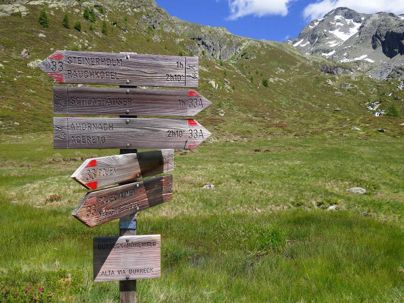
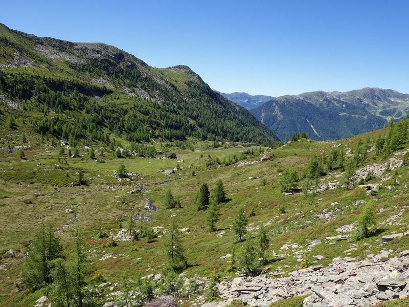
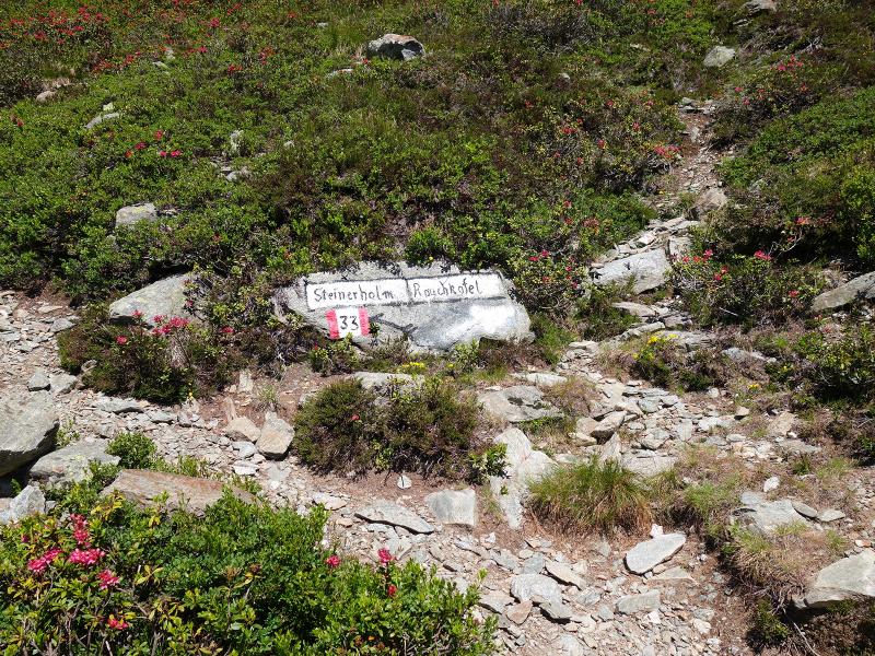
We drive from the village of Acereto to the farms of Oberpojen. At the crossroads slightly before maso Pichlerhof you can find some parking spaces on the roadside. We begin our hike by following the forest road with the signpost "Pojer Almen" (no. 33) which ascends steeply along the slope. After a section in the forest we reach the "Stiegerwiesen" meadows and after some bends the "Pojermoos biotope where Malga Pojer is situated. The upper part of the valley is surrounded by the peaks of the Cima Dura group and the more than 3,000 m high Picco Palù and Cima Dura.
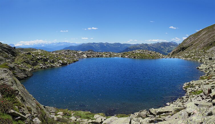
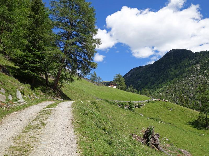
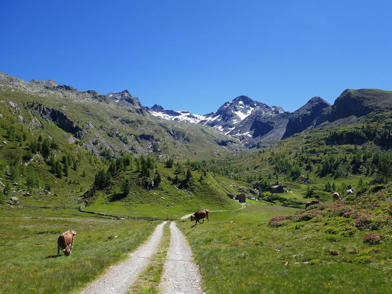
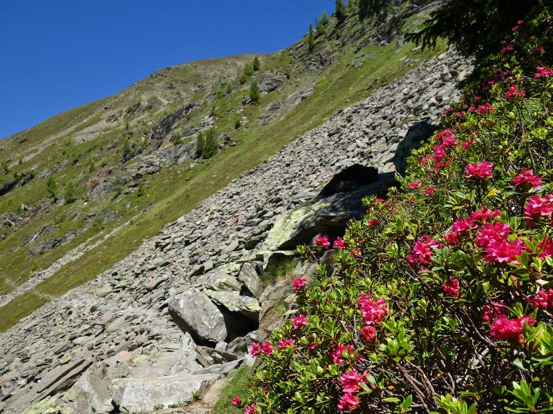
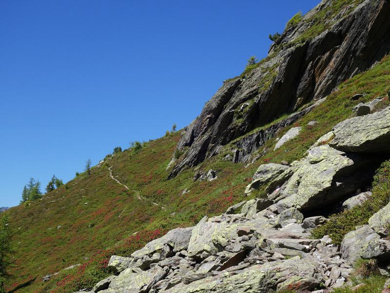
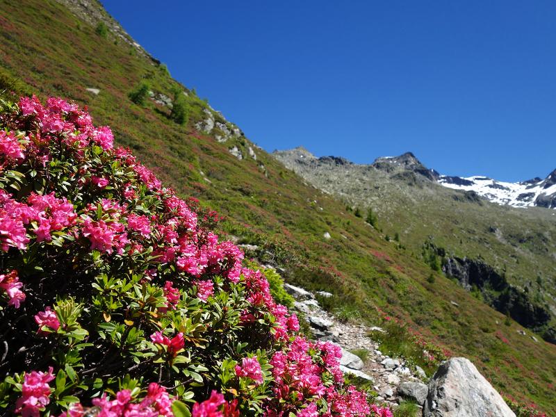
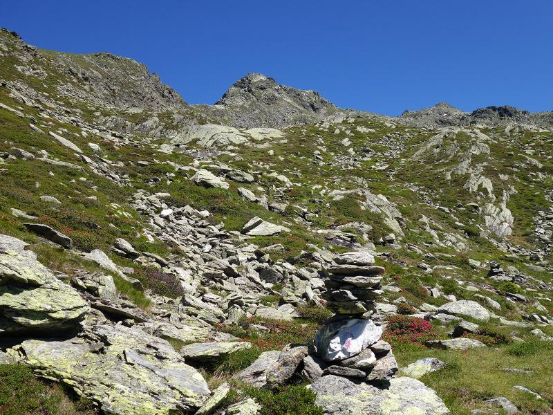
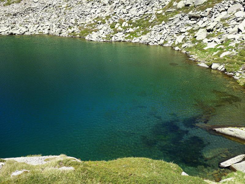
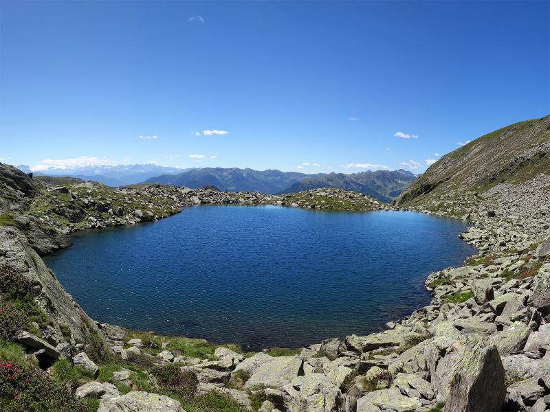
The forest road ends near Malga Pojer and we take path no. 33 which leads us across alpine meadows to the fork with the Alta Via Cima Dura. There we turn left towards "Steinerholm" where the path steeply ascends a slope. We walk past alpine roses and through stony terrain to the next crossroads. There we take the path on the left towards Cima Fumo. The final section before Lago Schreinsee is far from being well maintained, however, it is still worth the effort. We take the same route back to Oberpojen. As there are no refreshment points along the itinerary, we recommend taking some provisions with you.
Date of the hike: 5 July 2020
Last updated in: 2026
Author: AT
-
- Starting point:
- Acereto, hamlet of Oberpojen
-
- Overall time:
- 04:40 h
-
- Total route length:
- 12,4 km
-
- Altitude:
- from 1.571 m to 2.347 m
-
- Altitude difference (uphill | downhill):
- +804 m | -804 m
-
- Route:
- forest path Pojer Alm, Cima Dura High Route (Durreck Höhenweg), Schreinsee lake trail
-
- Signposts:
- no. 33, Schreinsee
-
- Destination:
- Schreinsee
-
- Recommended time of year:
- Jan Feb Mar Apr May Jun Jul Aug Sep Oct Nov Dec
-
- Download GPX track:
- Via the Pojer alpine pastures to the Schreinsee lake
If you want to undertake this hike, we recommend you to check the weather and trail conditions in advance and on site before setting out.