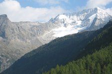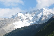
The 2,483 m high local mountain of Perca offers a wonderful view far beyond the Val Pusteria valley
Image gallery: Mountain tour to Mt Montone
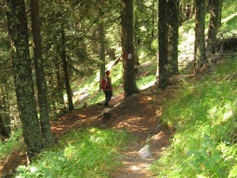
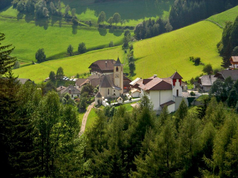
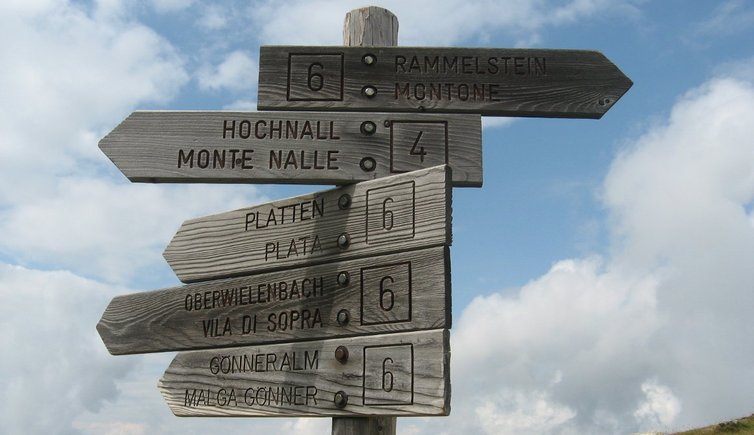
Today's hike takes us to the peak of Perca's local mountain. On the main road we branch off left towards Vila di Sopra near Perca and continue on this road until a bridge in a right hairpin bend after the church of Vila di Sopra (1,350 m a.s.l.). After a few metres we arrive at a car park, the starting point of our hike. According to the signposts we should reach our final destination in about 3.5 hours of walking. The weather today could be better but we still take the forest road through the verdant Valle di Vila. We overstep a barrier and proceed along a wide path. Soon after we take path no. 6 on the right which winds along the Bärenbach stream and is characterised by some rather steep and slippery sections.
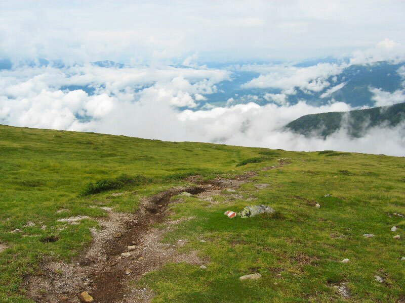
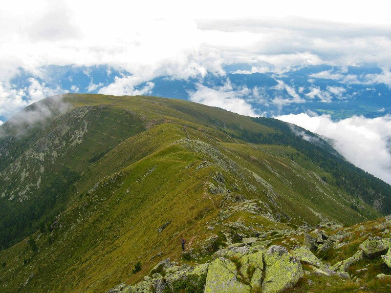
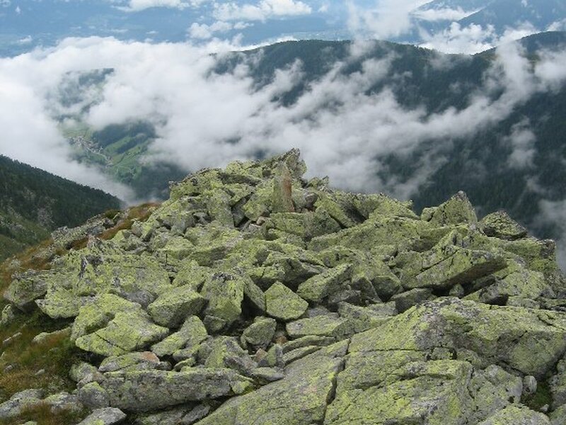
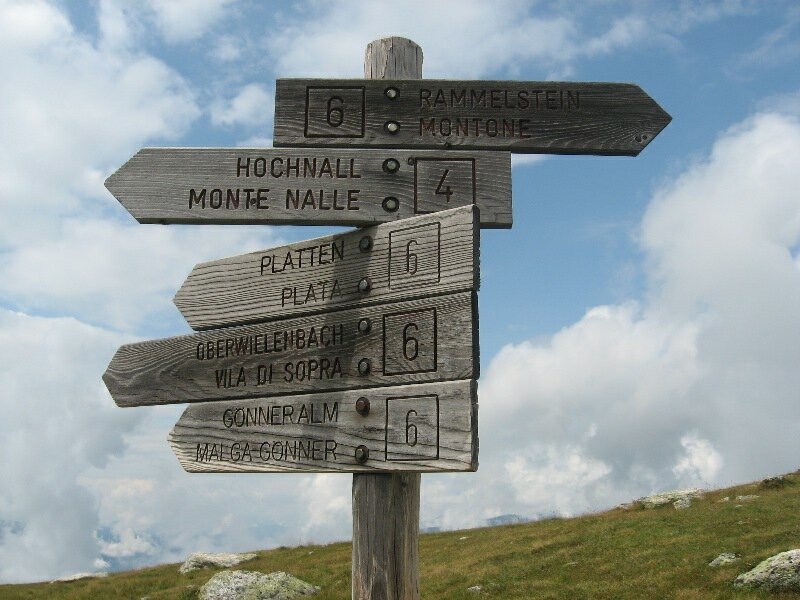
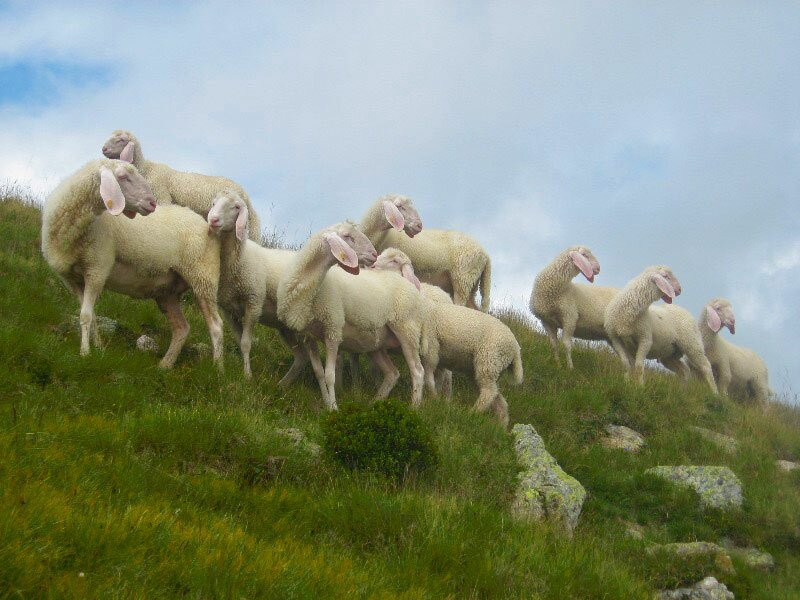
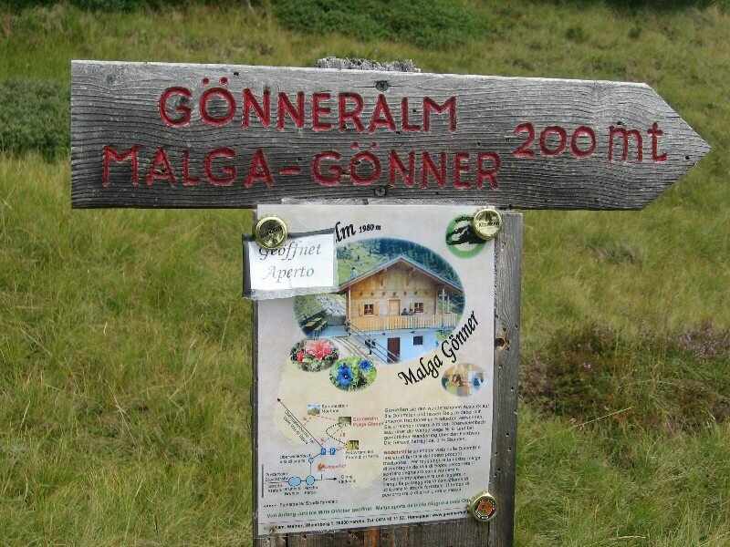
We walk across the "Peintner Wiesele" meadow near Malga Gönneralm and proceed along the slightly uphill Grentesteig path (no. 6). Once we have arrived at the forest limit, our efforts are rewarded by a stunning view of the Val Pusteria and the surrounding mountains. Today however we are not so lucky because the clouds block our view. We continue hiking along extensive meadows and pastures where we see some grazing cows with a shepherd. The peak is already visible and the summit cross appears closer than it actually is. We take the path to lake Loch Lacke on the left and then a narrow forest path on the right. The path branching off left leads to the peak of Monte Nalle. After a short flat section we walk towards the peak through a very rocky terrain and sometimes we even need to use our hands.
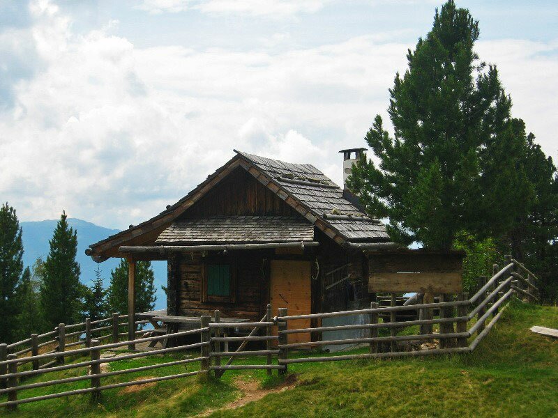
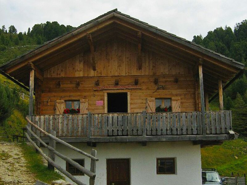
Soon we reach the summit cross (2,483 m a.s.l.) and once there we are happy that it took us less than three hours of walking time to get there. We see the opposite side of the valley and Lake Anterselva before the fog covers the view. On sunny days you can admire the highest peak of the area including Cima di Campo, Grossglockner in East Tyrol, Monte Cristallo and even the Ortles. For the descent we retrace our steps and stop at Malga Gönneralm. Alternatively you could descend the Grentesteig path, passing by Malga Grentealm (2,002 m a.s.l.) to Anterselva di Sotto.
Please note: This wonderful alpine hike delights hikers with fantastic views of the Val Pusteria and the alpine world of the Vedrette di Ries-Aurina nature park on sunny days. The excursion can be undertaken also by not so well-trained people. However, sure-footedness and some mountain experience are still required.
Date of the hike: 9 July 2009
Last updated in: 2026
Author: BS
-
- Starting point:
- Vila di Sopra (Perca)
-
- Overall time:
- 05:00 h
-
- Total route length:
- 12,3 km
-
- Altitude:
- from 1.432 m to 2.483 m
-
- Altitude difference (uphill | downhill):
- +1051 m | -1051 m
-
- Route:
- Vila di Sopra - Valle di Vila valley - "Peintner Wiesele" meadow - Mt. Montone (summit) - Gönneralm mountain hut - Vila di Sopra
-
- Signposts:
- no. 6, "Grentesteig"
-
- Destination:
- Montone
-
- Resting points:
- Gönneralm mountain hut
-
- Recommended time of year:
- Jan Feb Mar Apr May Jun Jul Aug Sep Oct Nov Dec
-
- Download GPX track:
- Mountain tour to Mt Montone
If you want to undertake this hike, we recommend you to check the weather and trail conditions in advance and on site before setting out.