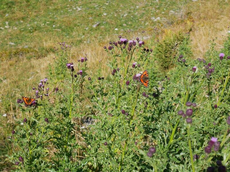
Our hike to the most famous skiing mountain of the Val Pusteria valley, proceeds through quiet woods far away from the skilift facilities
Image gallery: Hike from Riscone to the Plan de Corones
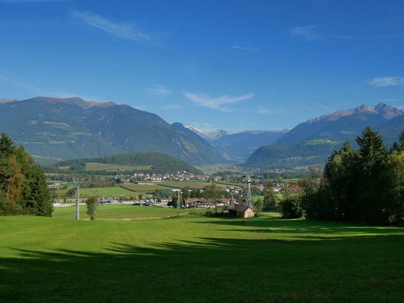
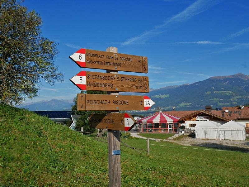
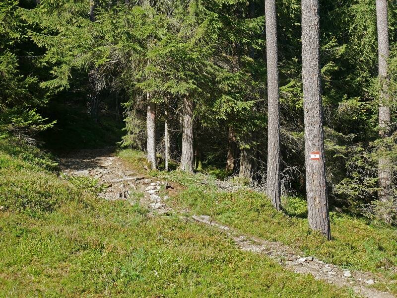
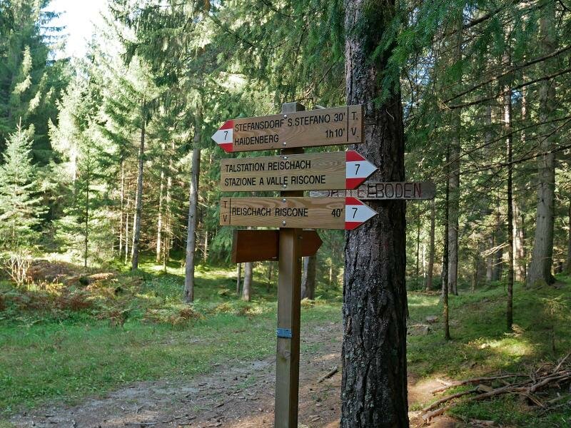
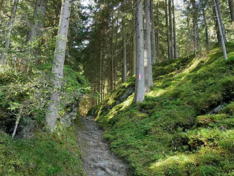
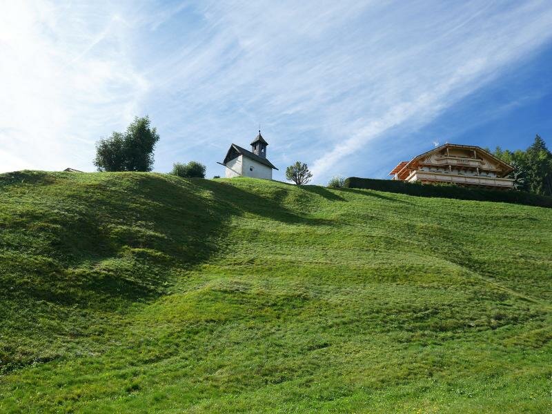
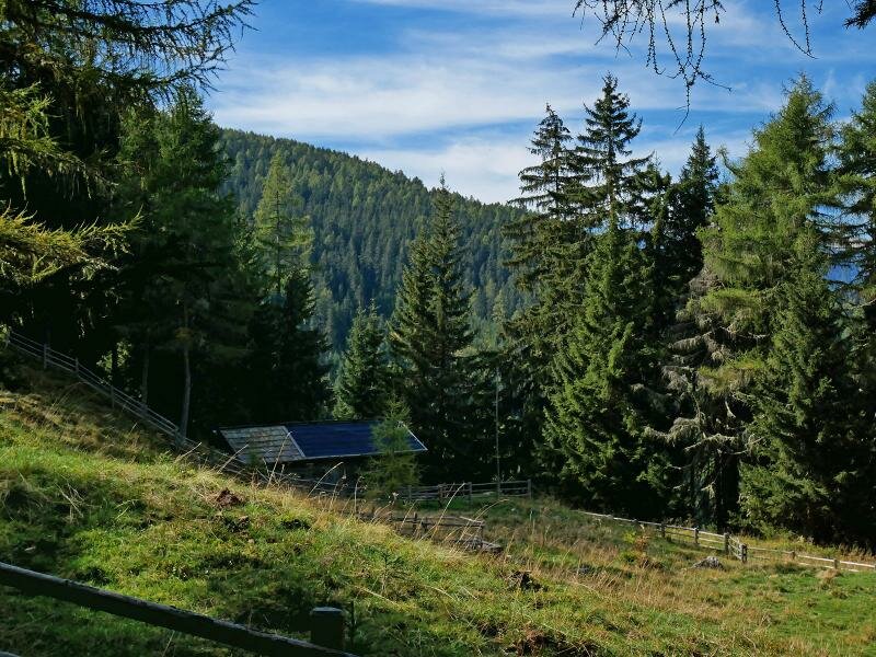
Our alpine tour to the 2,275-m-high Plan de Corones starts at the car park of the cable car near the sports area of Reiperting (950 m a.s.l.), an area in Riscone near the city of Brunico. After a short initial ascent path no. 7 crosses the dense coniferous forests on the Urschenbichl hill towards southwest. We walk past the Masi Oberwelis farms above S. Stefano, a hamlet of the municipality of San Lorenzo di Sebato and take path no. 12 to our left. This steep path runs uphill until the hamlet of Haidenberg at 1,300 m a.s.l.
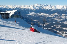
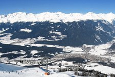
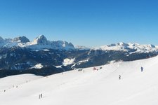
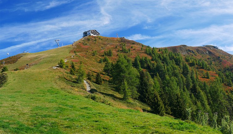
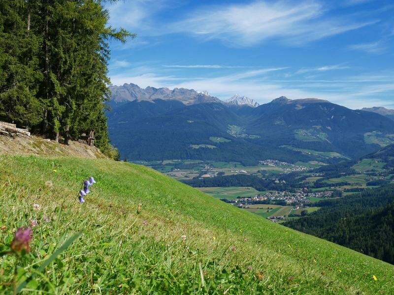
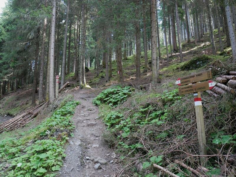
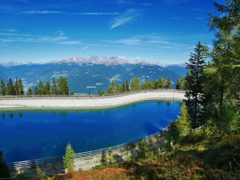
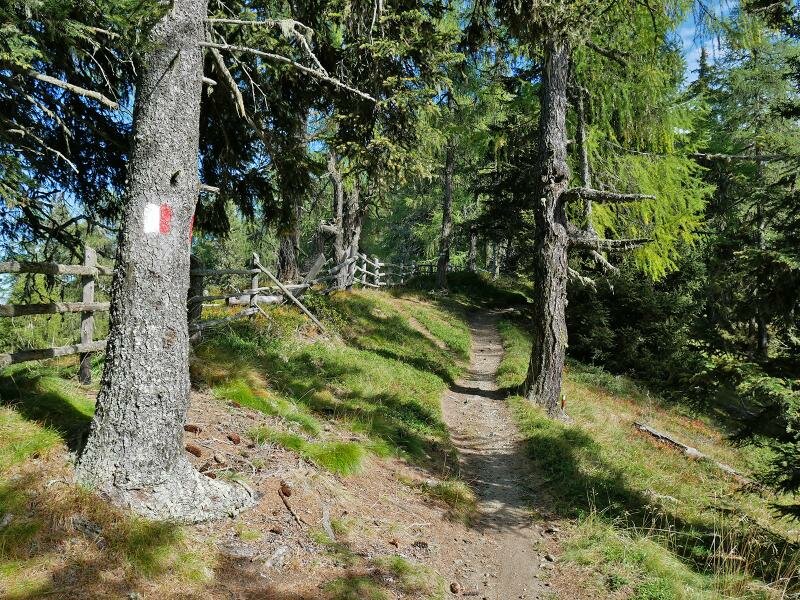
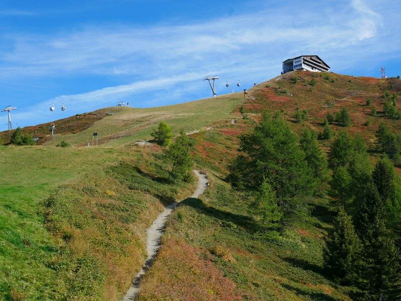
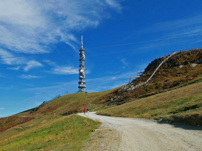
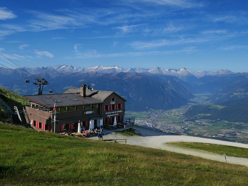
Path no. 4 proceeds uphill to Malga Stefansdorfer Kaster (1,650 m a.s.l.). Now we need to tackle a steep uphill section which takes us to an altitude of 2,000 m a.s.l. Here the path ends below the Col di Riscone in the proximity of the Hirschlake reservoir. We continue hiking along path no. 8 until the Plan de Corones summit. The final stretch is definitely steeper, however, this section can be avoided by following path B (forest path) until the tree limit. At the Corones hut (Kronplatzhütte) we continue ascending to the summit where also the mountain station of the lift facilities.
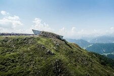
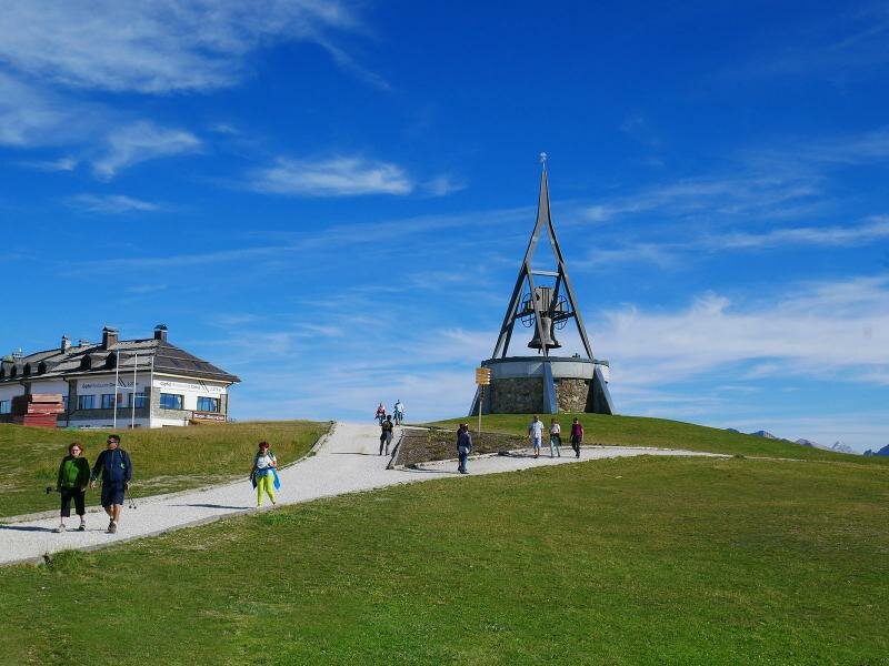
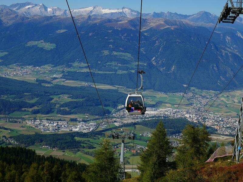
Having arrived at the Concordia Peace Bell we stop at a panoramic viewpoint where a wonderful map shows us the names of the peaks we can admire from here. One of the main attractions of this area is the MMM Corones by Reinhold Messner. This museum was planned by star architect Zaha Hadid. We eventually return to Riscone by cable car.
Date of the hike: 29 September 2016
Last updated in: 2026
Author: AT
-
- Starting point:
- Reiperting sports ground near Riscone (parking space of the Plan de Corones lift facilities)
-
- Overall time:
- 04:25 h
-
- Total route length:
- 10,1 km
-
- Altitude:
- from 963 m to 2.271 m
-
- Altitude difference (uphill | downhill):
- +1344 m | -36 m
-
- Route:
- Riscone - Oberwelis farmsteads - Haidenberg - Stefansdorfer Kaser mountain hut - Hirschlacke pond - Corones mountain hut - Mt Plan de Corones (summit)
-
- Signposts:
- 7, 4, 12, 8, B
-
- Destination:
- Plan de Corones (summit)
-
- Resting points:
- Restaurants at Plan de Corones
-
- Recommended time of year:
- Jan Feb Mar Apr May Jun Jul Aug Sep Oct Nov Dec
-
- Download GPX track:
- Hike from Riscone to the Plan de Corones
If you want to undertake this hike, we recommend you to check the weather and trail conditions in advance and on site before setting out.