Today’s hike to the malga Antersasc leads through a stunning, almost uncontaminated landscape
Image gallery: Hike from Longiarù to Antersasc
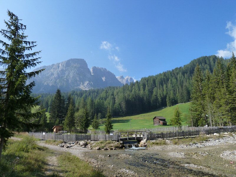
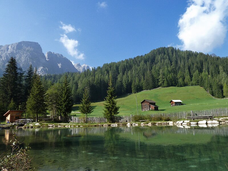
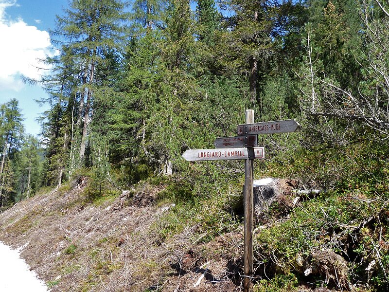
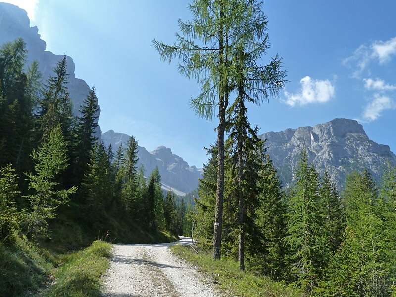
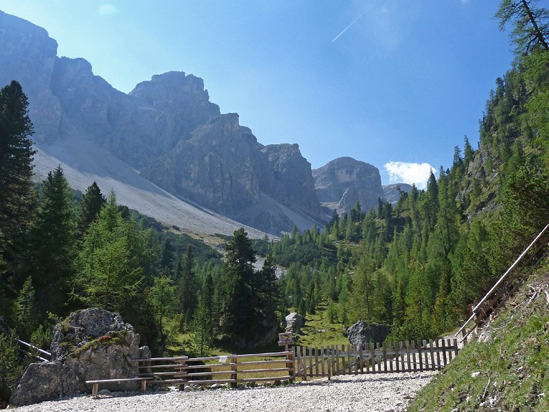
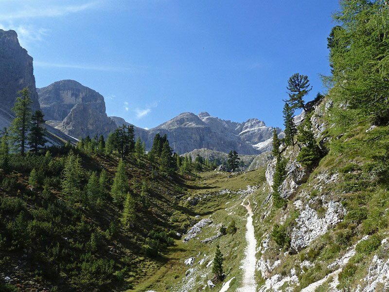
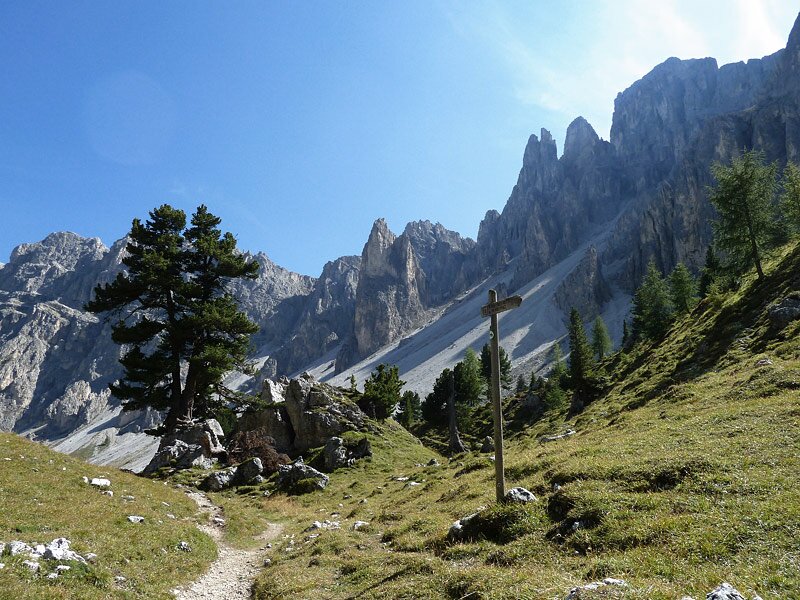
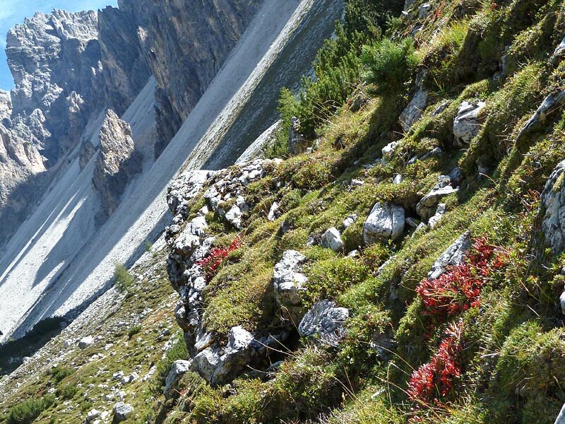
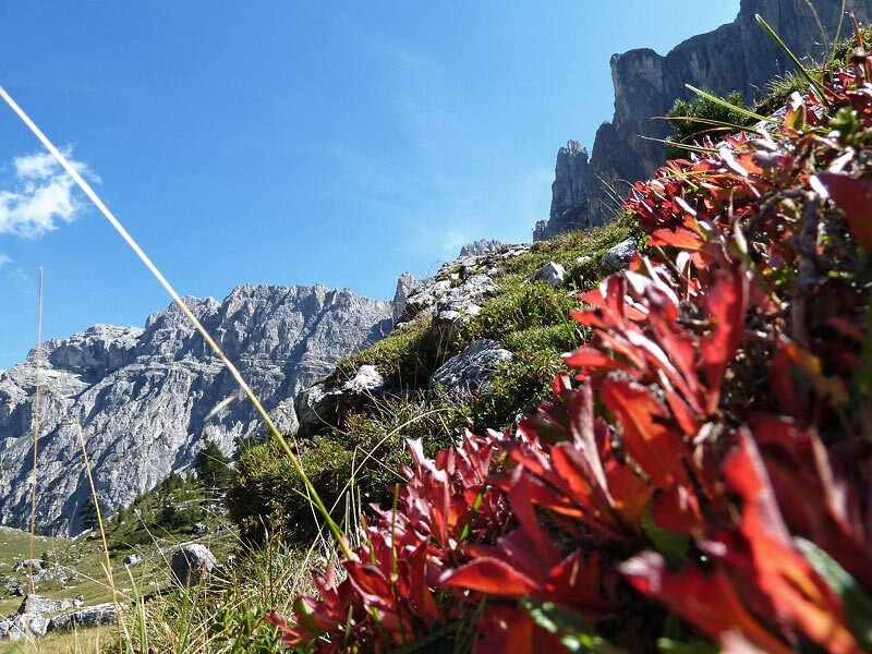
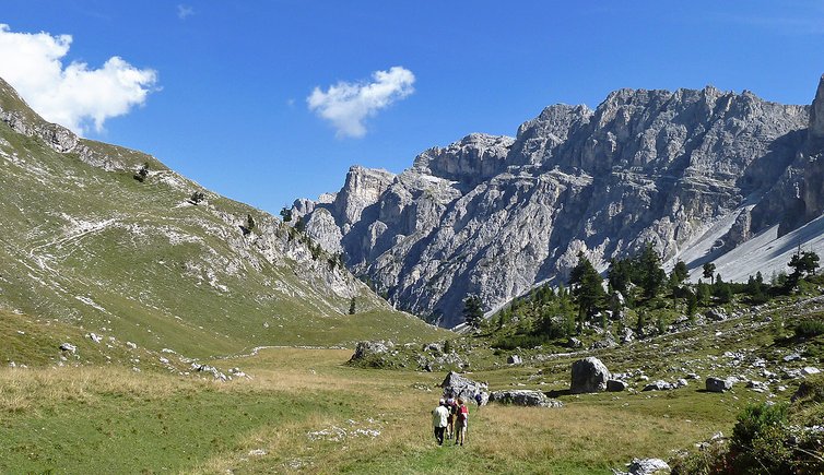
As summer comes to a close and autumn knocks on the door in the mountains, nights become longer and temperatures lower, but fortunately the hiking season is not over yet. On a sunny and rather warm day we drive past San Martino in Badiaand continue until Longiarù in the low Val Badia. Our hike starts in the proximity of the fishing pond above the village. Initially, we walk along path no. 6B that enters into a coniferous forest. The initial stretch coincides with the sledge run. The itinerary, which is marked with "Antersasc" signposts throughout, runs constantly uphill. We approach the ridges of the Puez-Gardenaccia massif. The forest path no. 6 is easily walkable.
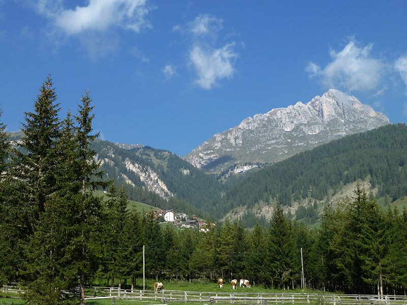
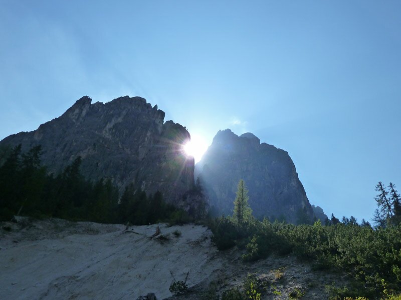
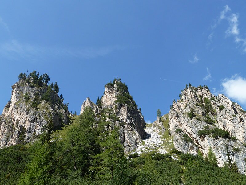
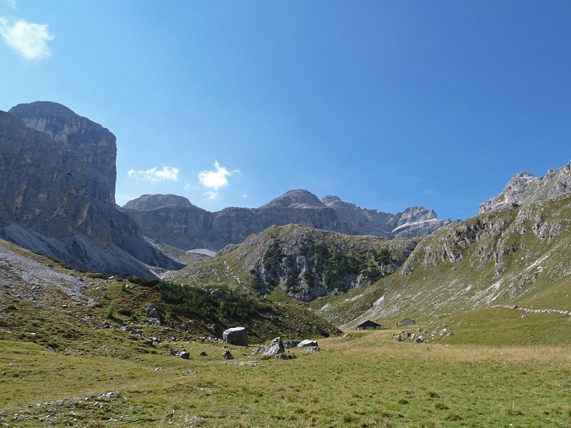
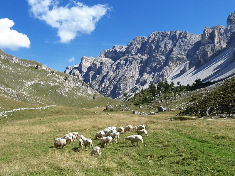
This path ends at the entrance to the valle Antersasc and the narrow final section leads to several mountain pastures. Embedded in a valley basin at 2,090 m a.s.l., malga Antersasc stands out from the peaks of the Puez-Gardenaccia high plateau. In this marvellous, quiet landscape we only meet some hikers and a sheep herd. The perfect place for a relaxing break!
From here you can ascend to the Croda dei Toni (3,094 m a.s.l.) or to the rifugio Puez at 2,475 m a.s.l. However, we decide not to continue and to return to the valley by retracing our steps after a long break.
Date of the hike: 16 September 2011
Last updated in: 2026
Author: AT
-
- Starting point:
- parking space south of Longiarù (San Martino in Badia)
-
- Overall time:
- 03:45 h
-
- Total route length:
- 10,5 km
-
- Altitude:
- from 1.505 m to 2.094 m
-
- Altitude difference (uphill | downhill):
- +655 m | -655 m
-
- Route:
- Longiarù - Antersasc - Longiarù
-
- Signposts:
- 6B, 6
-
- Destination:
- Antersasc pasture
-
- Recommended time of year:
- Jan Feb Mar Apr May Jun Jul Aug Sep Oct Nov Dec
-
- Download GPX track:
- Hike from Longiarù to Antersasc
If you want to undertake this hike, we recommend you to check the weather and trail conditions in advance and on site before setting out.