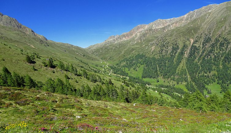
This hike in the mountains of Villgraten takes us from Casies to the mountain pass at 2,200 m a.s.l
Image gallery: Circular walk to the Forcella di Casies wind gap
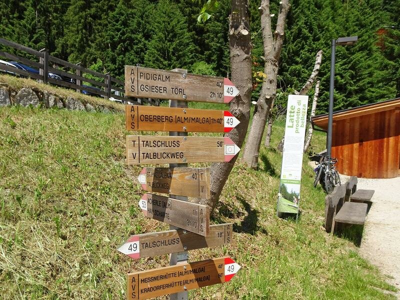
Our hike to the Forcella di Casies at the border to the nearby Valle di Defereggen (Austria) starts at the car park at the edge of the village of S. Maddalena near the Rifugio Fondo Valle (Talschlusshütte). We follow an asphalt road flanking a hotel and after a few hundred metres we arrive at a small car park with public toilets. To our left we can see the path we need to follow on our return as this is a circular hike.
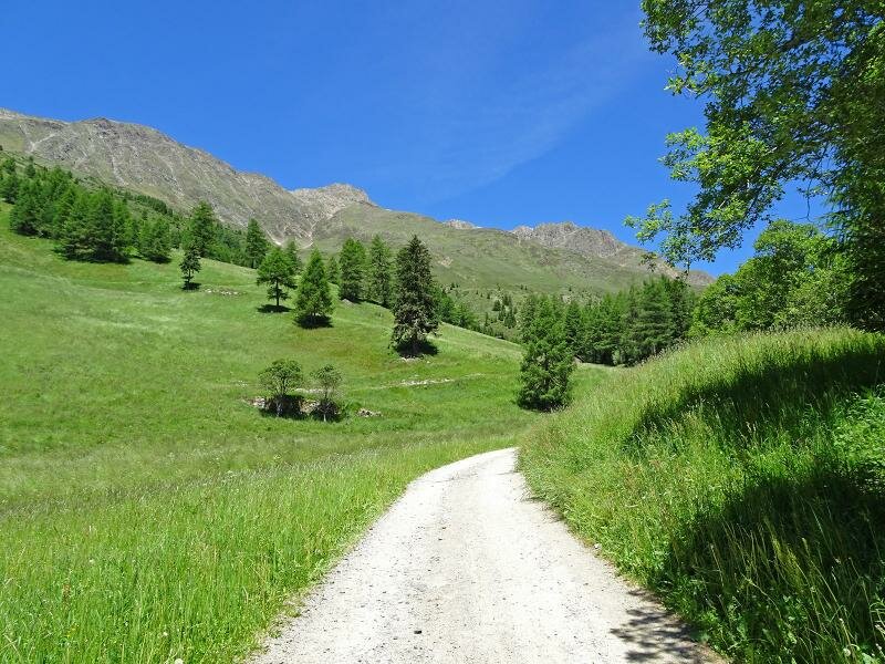
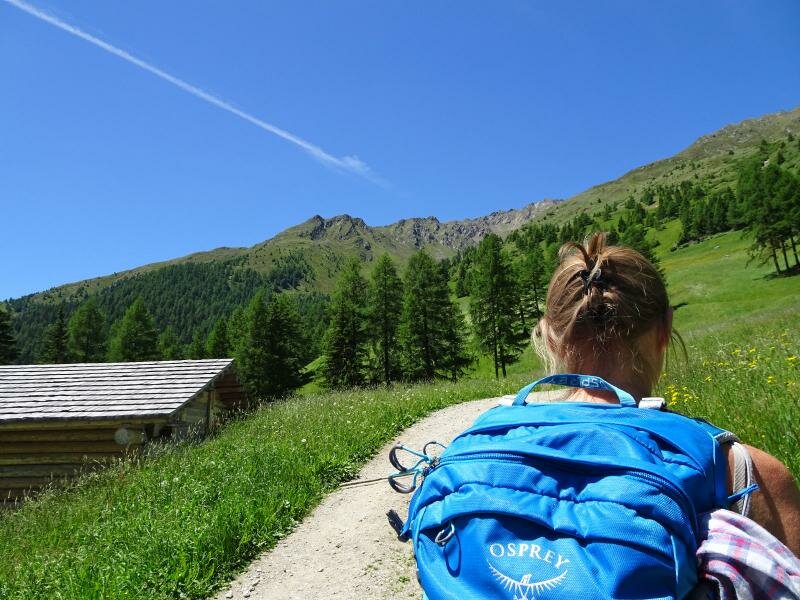
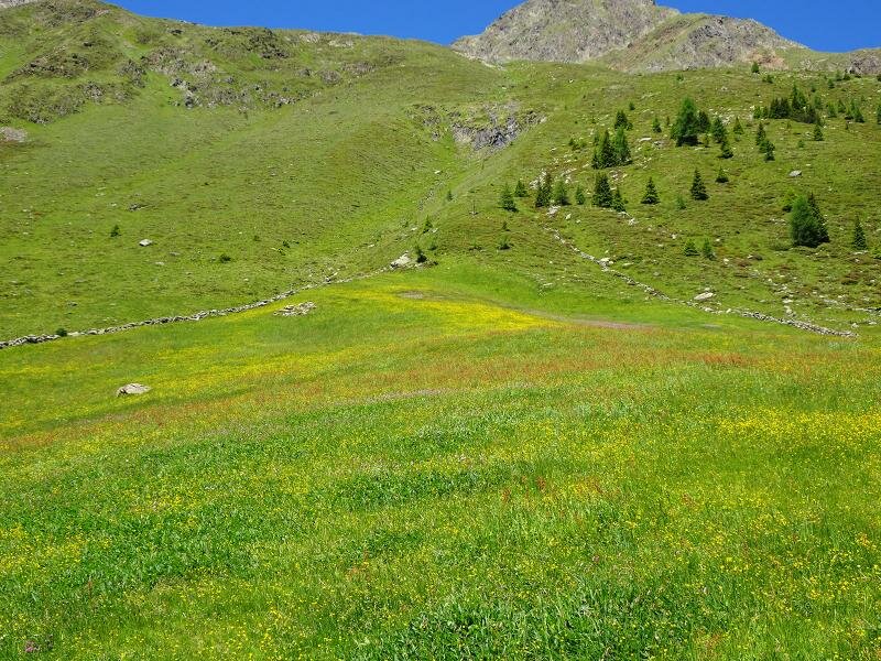
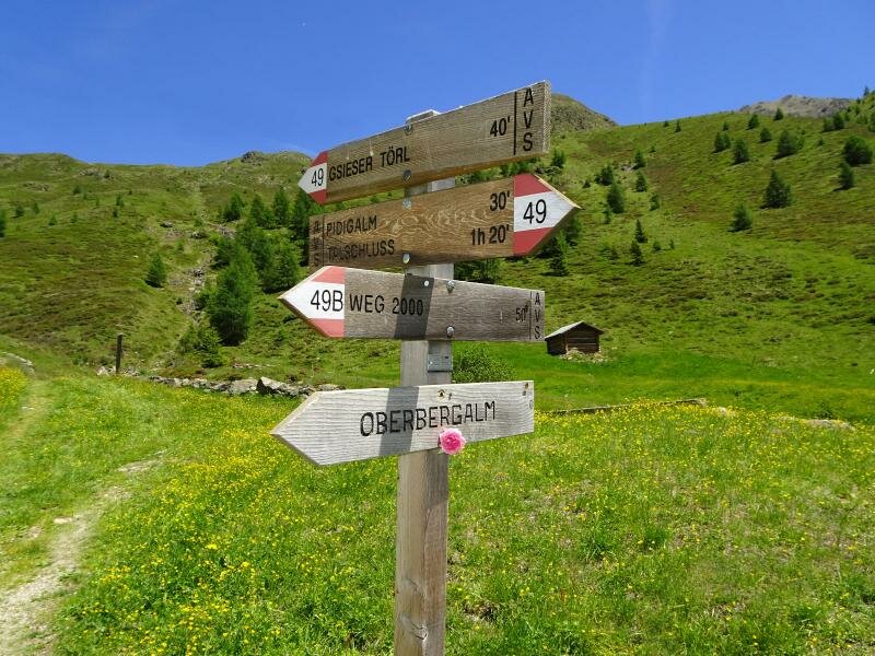
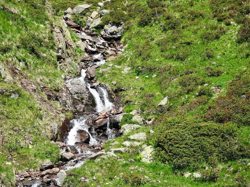
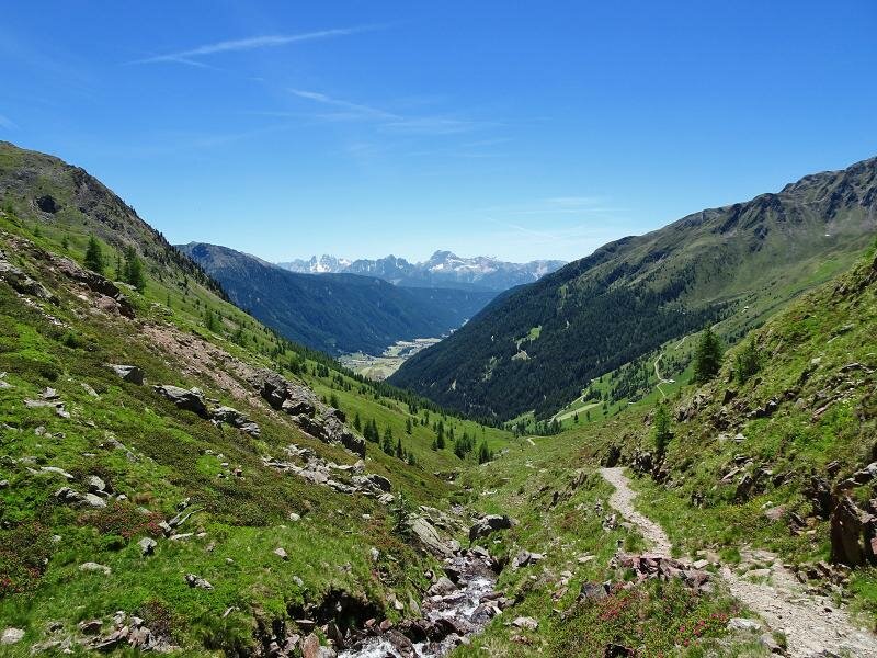
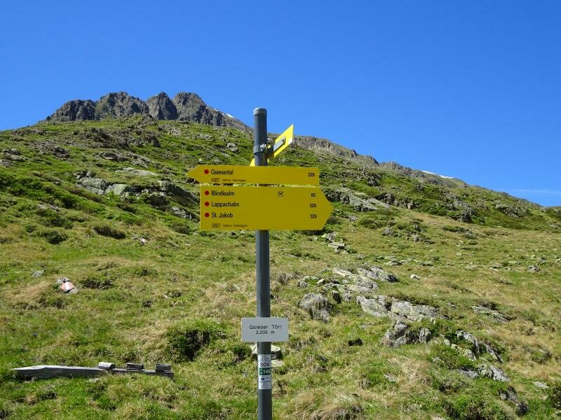
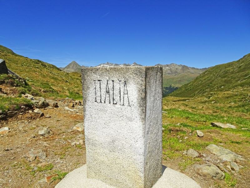
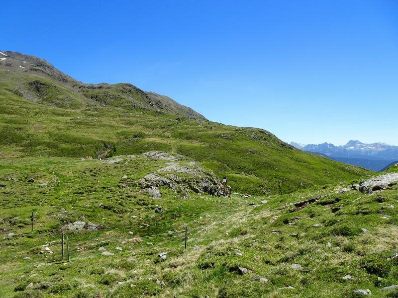
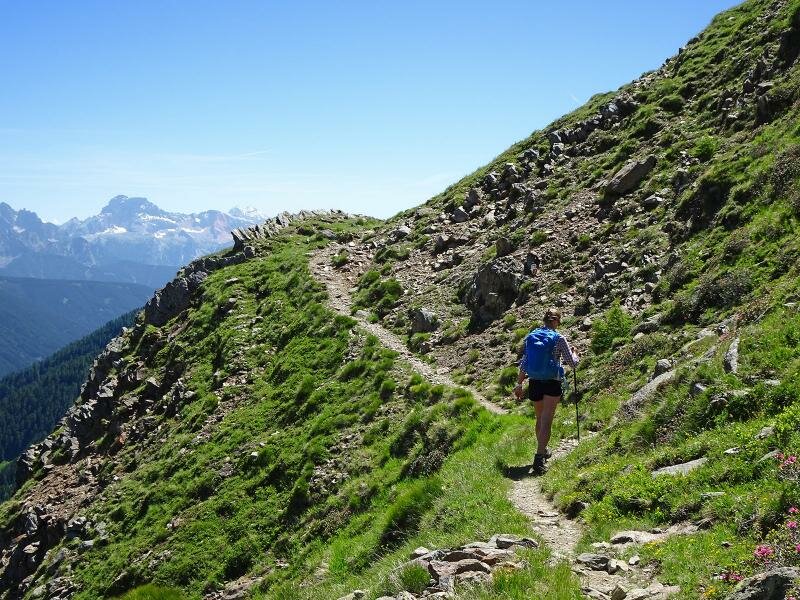
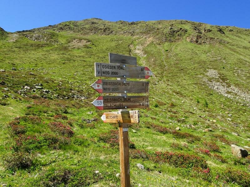
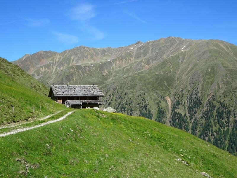
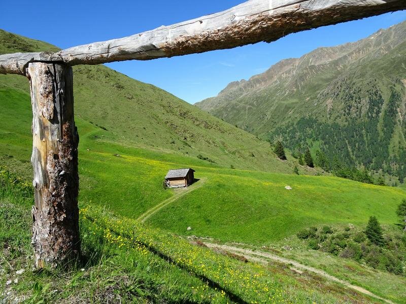
We remain on a forest road following the signpost no. 49 and the indications for Malga Pidig hut (today known as Messnerhütte) after which the path becomes considerably steeper because of the numerous hairpin bends. After about two hours of walking time we arrive at an altitude of 1,975 m a.s.l. at the Malga Oberbergalm where the forest road ends. With the Rio Casies on our right we still follow signpost no. 49 towards the Forcella di Casies (Gsieser Törl). After a few hundred metres the path moves away from the stream and remains rather flat, a few hundred metres to our right we can spot some barracks used in former times by the border guards. The mountain pass is in fact the former border between Italy and Austria, today only a small milestone reminds of this fact.
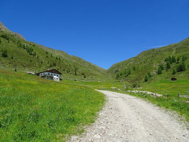
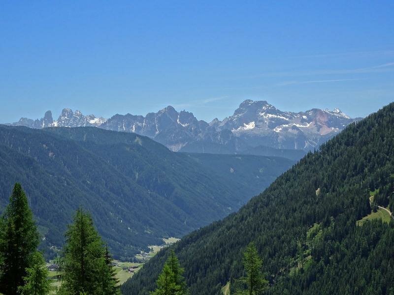
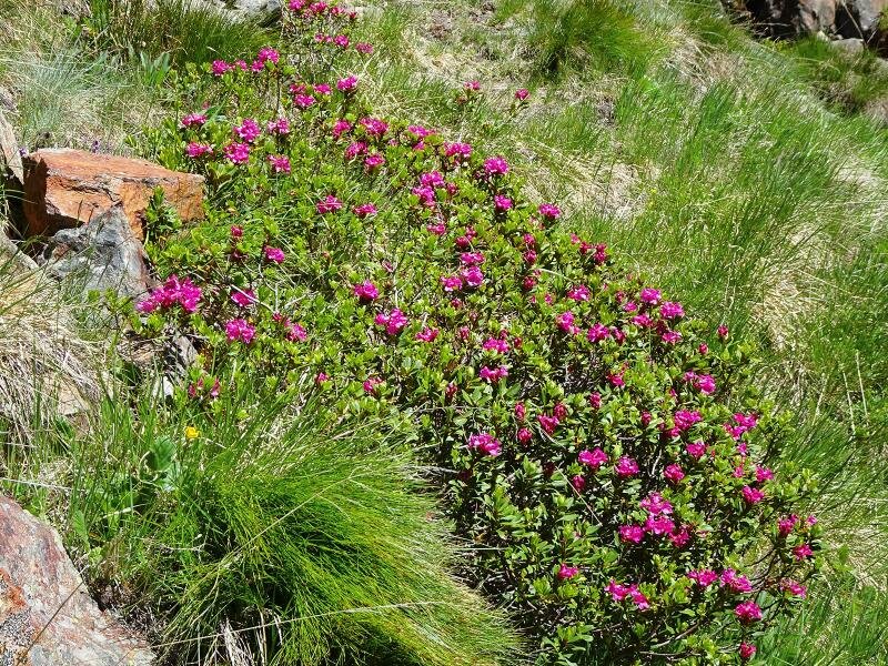
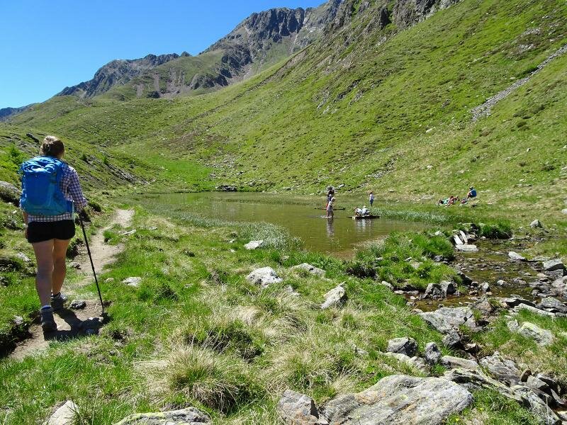
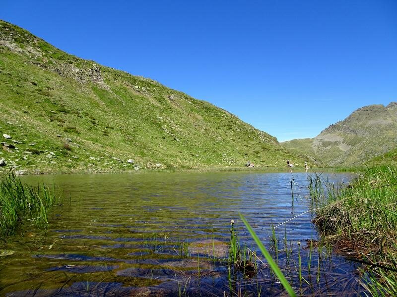
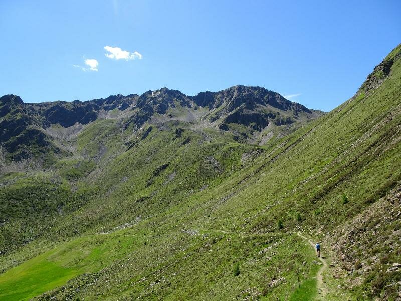
After a short break with a fantastic view of the Austrian side on the mountain pass we retrace our steps for a few metres. Then we turn right and take the "Almweg 2000" path with no altitude changes and arrive at the western side of the valley. We walk past a small lake where you could eventually enjoy a refreshing swim and proceed on the steep slope surrounded by verdant meadows. From the path, at about 1 km from the mountain pass, path no. 49b branches off. This path leads downhill to the valley to Malga Oberbergalm but we continue to Malga Weissenbach instead where we follow the forest road and path no. 53. Here the meadows are replaced by a forest and after a 30-minutes walk we have finally arrived in the village of S. Maddalena.
Is this hike suitable for families? The large forest road to Malga Oberbergalm is suitable for baby carriages.
Date of the hike: 18 June 2017
Last updated in: 2026
Author: DG
-
- Starting point:
- Santa Maddalena di Casies, Fondo Valle mountain hut (parking space, bus stop)
-
- Overall time:
- 05:15 h
-
- Total route length:
- 15,2 km
-
- Altitude:
- from 1.462 m to 2.306 m
-
- Altitude difference (uphill | downhill):
- +933 m | -933 m
-
- Route:
- Valle di Casies - Pidig mountain hut - Oberbergalm mountain hut - Forcella di Casies wind gap - Weissbach mountain hut - Valle di Casies
-
- Signposts:
- 49, Almweg 2000, 53
-
- Destination:
- Forcella di Casies / Gsieser Törl
-
- Resting points:
- Oberbergalm
-
- Recommended time of year:
- Jan Feb Mar Apr May Jun Jul Aug Sep Oct Nov Dec
-
- Download GPX track:
- Circular walk to the Forcella di Casies wind gap