Today’s hike takes us through the Valle d’Altafossa to the rif. Moser hut
Image gallery: Hike from Maranza to the Moser mountain hut
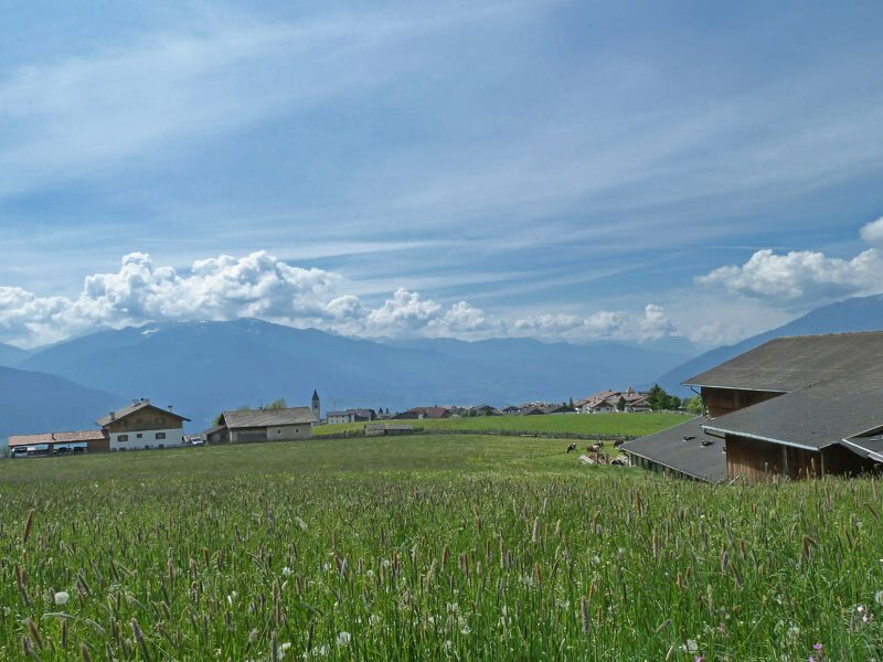
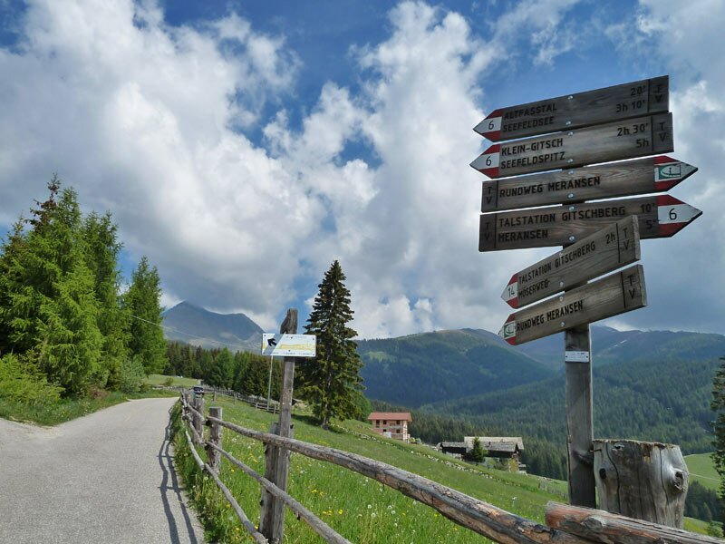
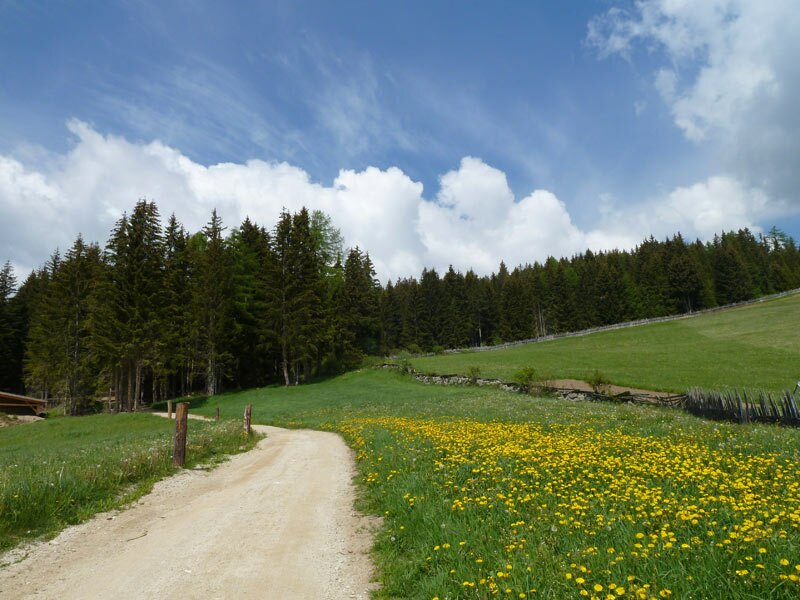
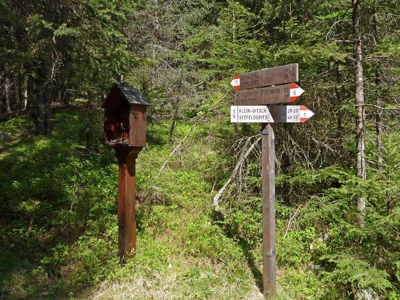
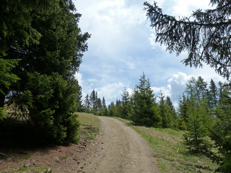
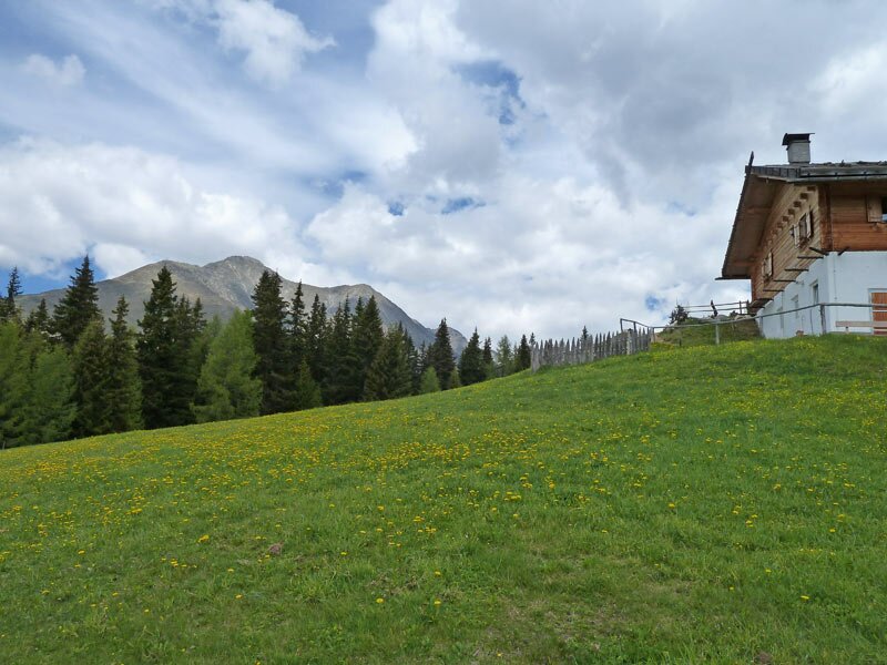
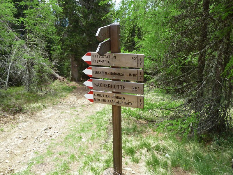
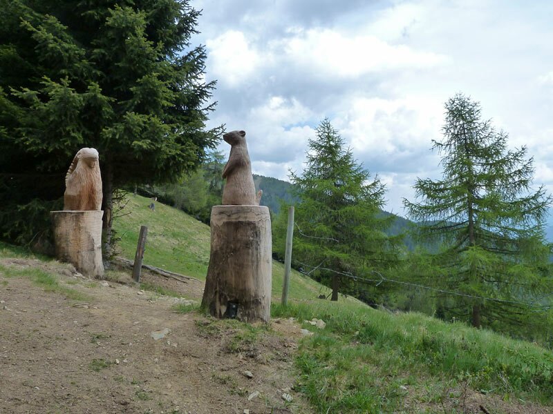
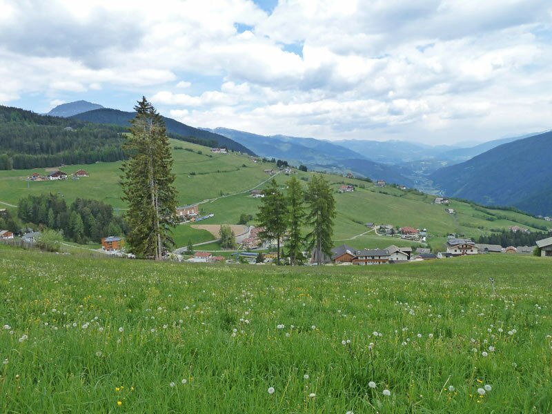
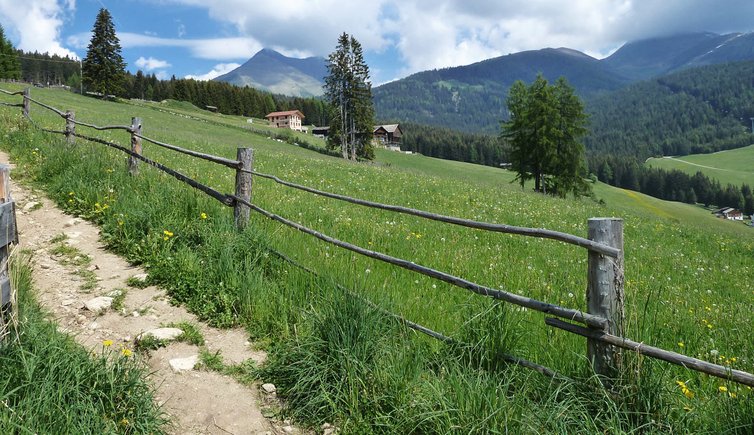
On a rather cloudy day we start in Aussereggen near Maranza and drive to the valle d'Altafossa (signpost no. 6). the forest path runs across the meadows at the edge of the village where it slightly ascends. A path starting in the proximity of the car park Altfasstal parallels the forest path we took and eventually joins it. After a 5-km walk the signpost "Moser Hütte" on our right indicates an ascent. From here it is only a few minute walk to the Moser hut, our destination.
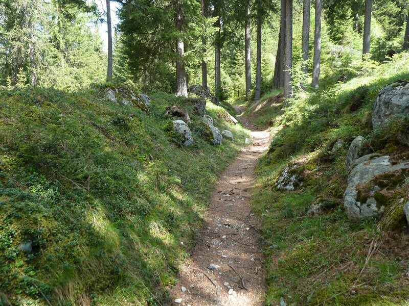
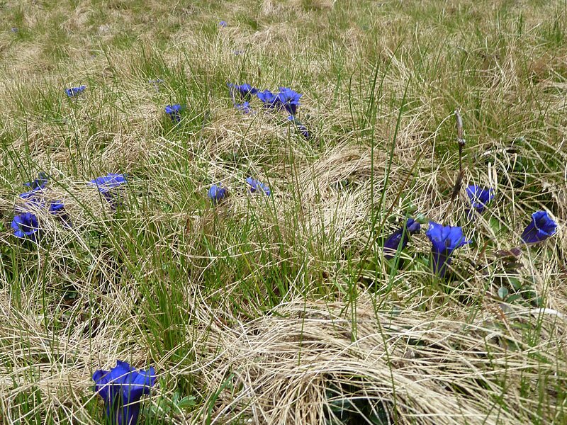
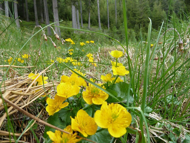
Unfortunately, the view is limited today. However, the wonderful spring flowers, like the blue gentian on the meadow clearings, make up for it. We follow the signpost "Meransen" and descend to the village along uneven forest paths and larger paths. After about an hour's walk we reach our starting point.
Date of the hike: 27 May 2012
Last updated in: 2026
Author: AT
-
- Starting point:
- Maranza (hamlet Aussereggen)
-
- Overall time:
- 02:55 h
-
- Total route length:
- 9,1 km
-
- Altitude:
- from 1.482 m to 1.922 m
-
- Altitude difference (uphill | downhill):
- +439 m | -439 m
-
- Signposts:
- 6, 15, 16A, 6, 14
-
- Destination:
- Altfasstal, Moser Hütte
-
- Resting points:
- Moserhütte alpine hut
-
- Recommended time of year:
- Jan Feb Mar Apr May Jun Jul Aug Sep Oct Nov Dec
-
- Download GPX track:
- Hike from Maranza to the Moser mountain hut
If you want to undertake this hike, we recommend you to check the weather and trail conditions in advance and on site before setting out.