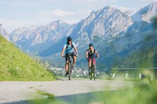
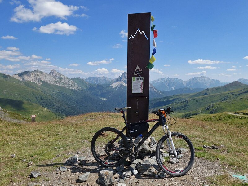
The 35-km long second stage of the Stoneman Trail, known as the “Demut” passage, runs at the foot of the summit of Mt. monte Demut (2,592 m a.s.l.). The Queen stage of the Stoneman Trail delights you with magnificent landscapes and has the most elevation gain to cover (almost 2,000 m). It starts in Sillian, leads past the Catena Carnica principale and arrives in Padola in the Veneto region
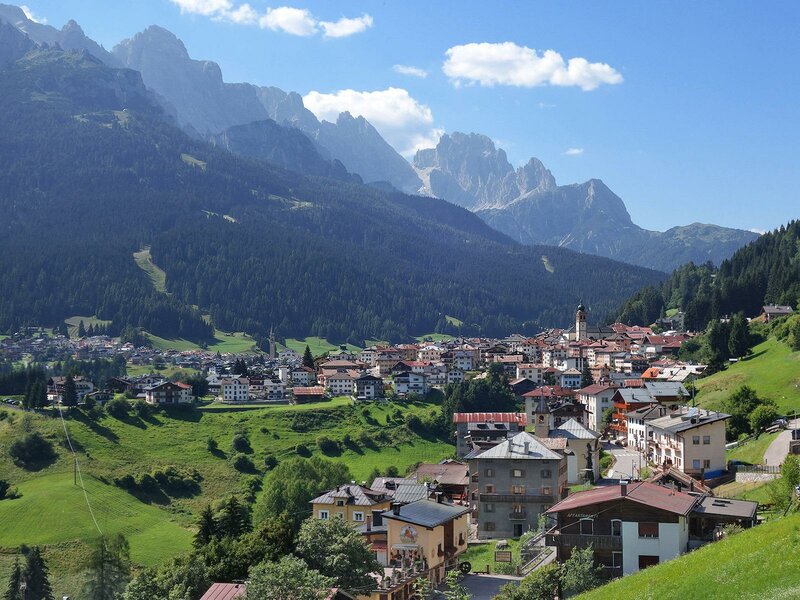
Image gallery: Stoneman Trail, 2nd stage: the “Demut”- passage
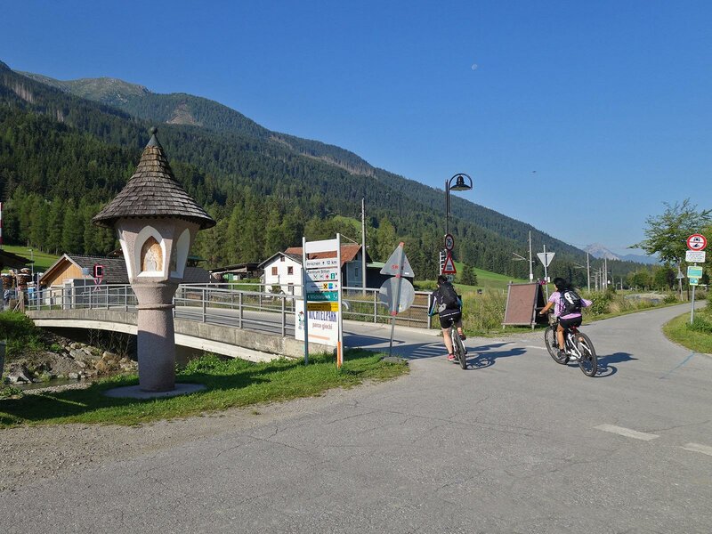
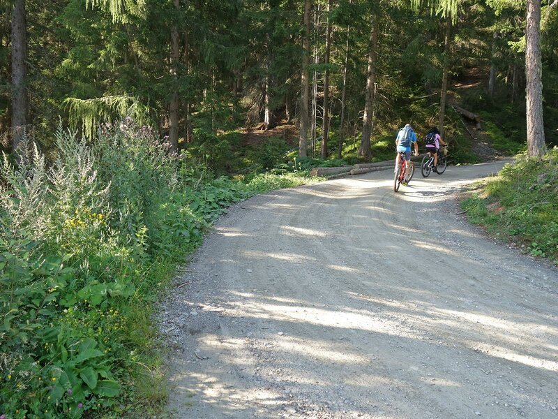
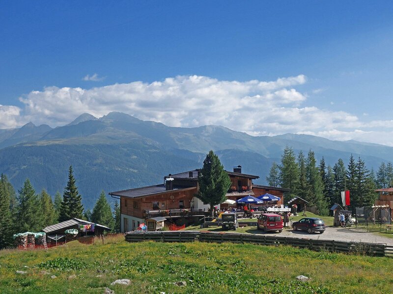
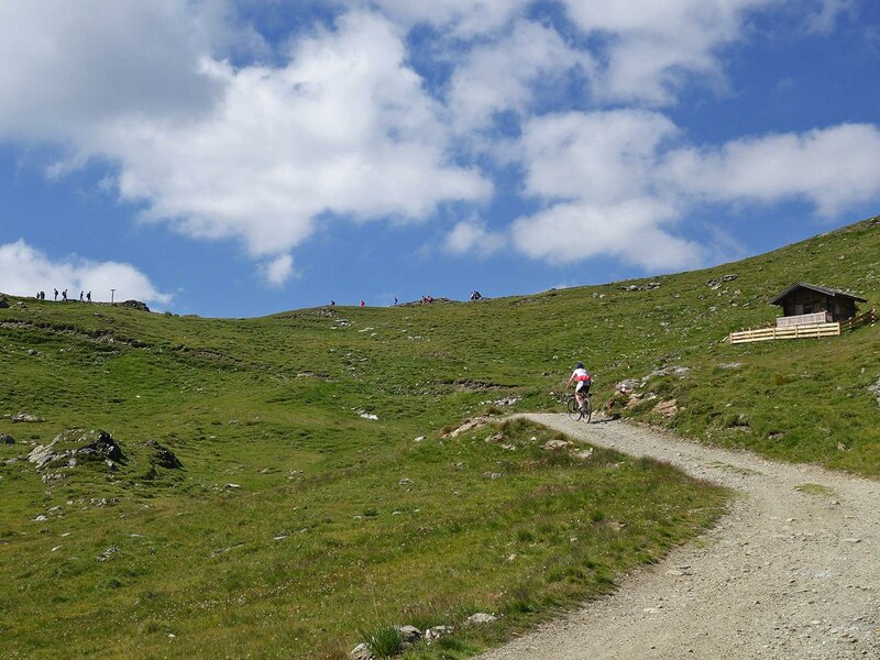
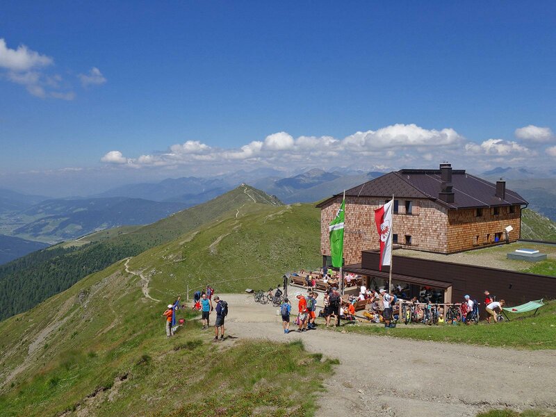
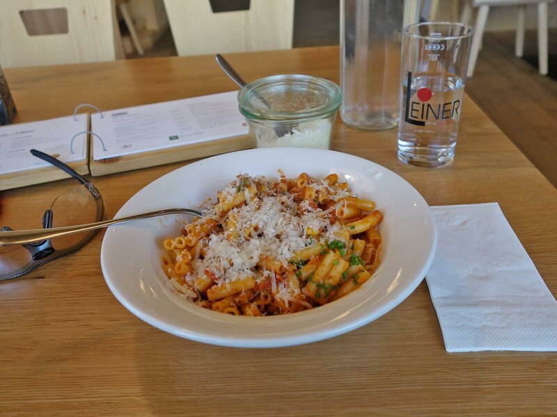
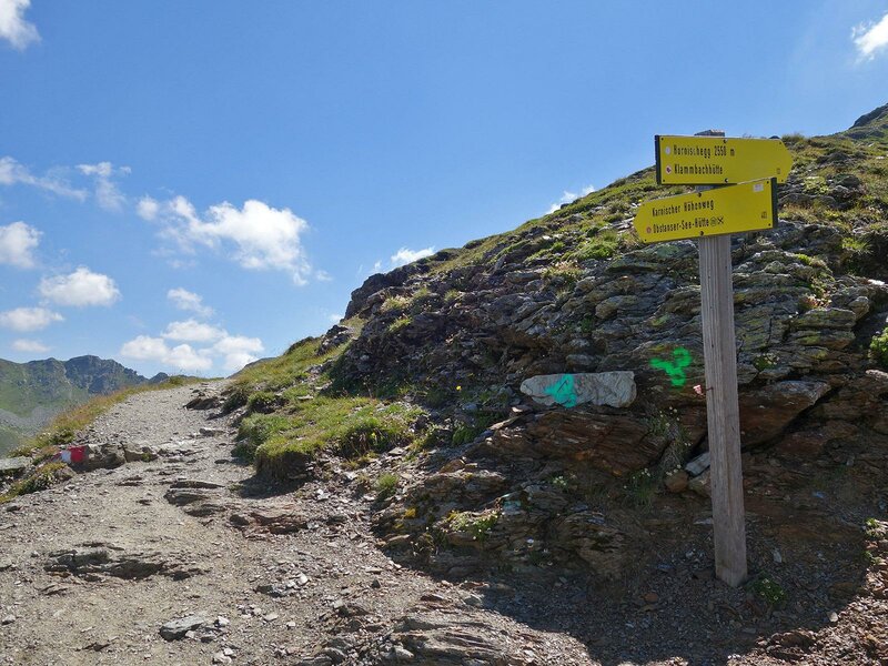
In Sillian we take the Drau-Radweg cycle path along the riverbank towards west. At the end of the village we turn left and cross the bridge towards the forest, where the forest path to the Leckfeld-Alm (1,920 m a.s.l.) starts (barrier toll for cars). We cross the forest in the shade and cover the more than 800 metres of elevation gain to the hut without difficulties. The short but steep section leading to the Sillianer Hütte (2,455 m a.s.l.), however, is definitely more challenging. In this section we still manage to ride our bikes without having to push them but the sun makes us sweat. The hut Sillianer Hütte at the border is the only refreshment point along the way and we stop for our lunch break.
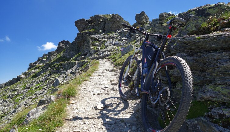
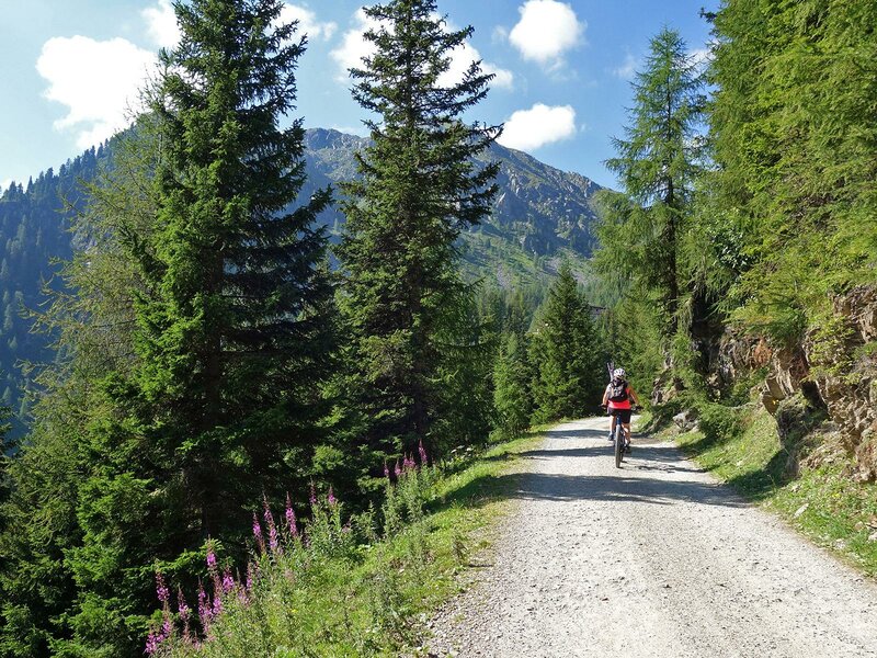
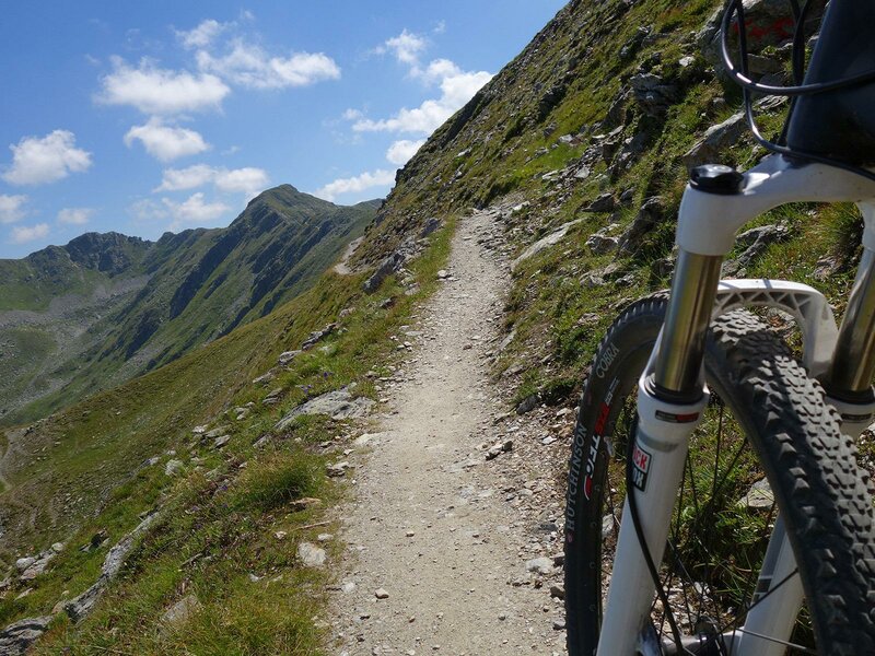
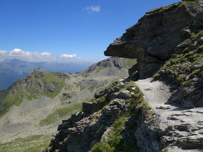
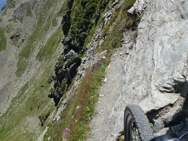
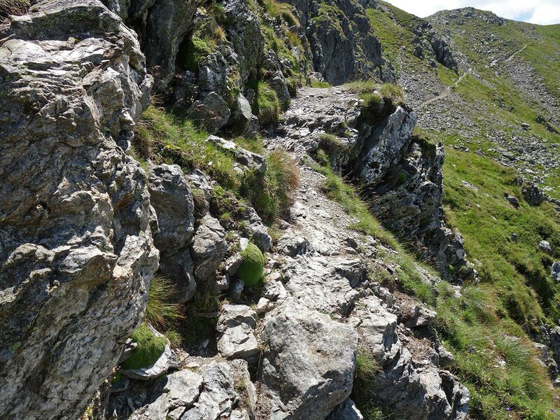
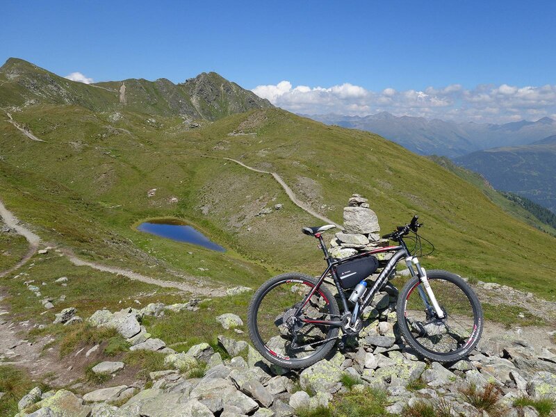
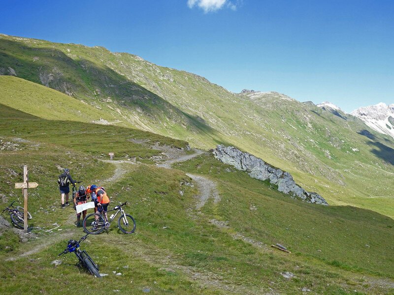
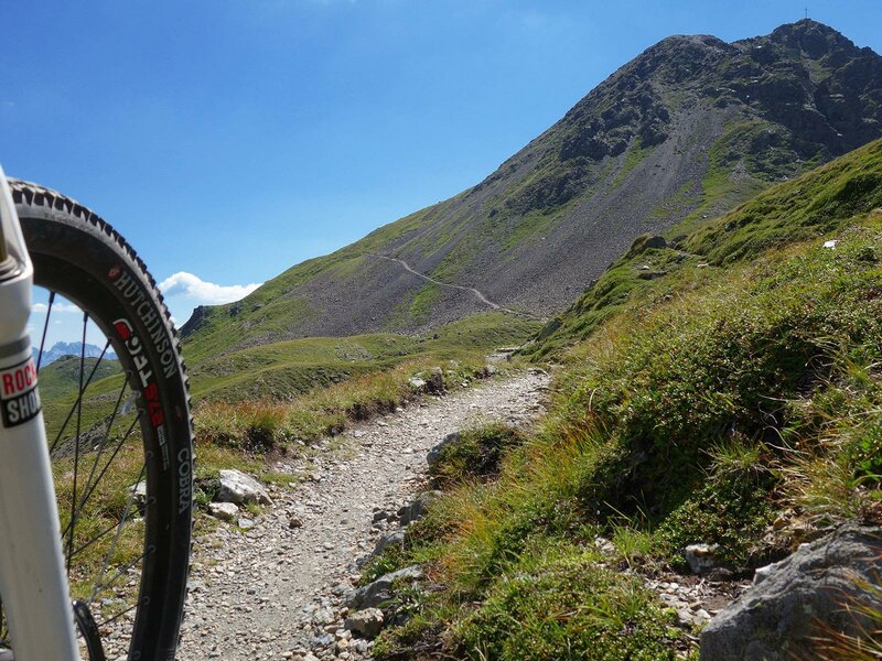
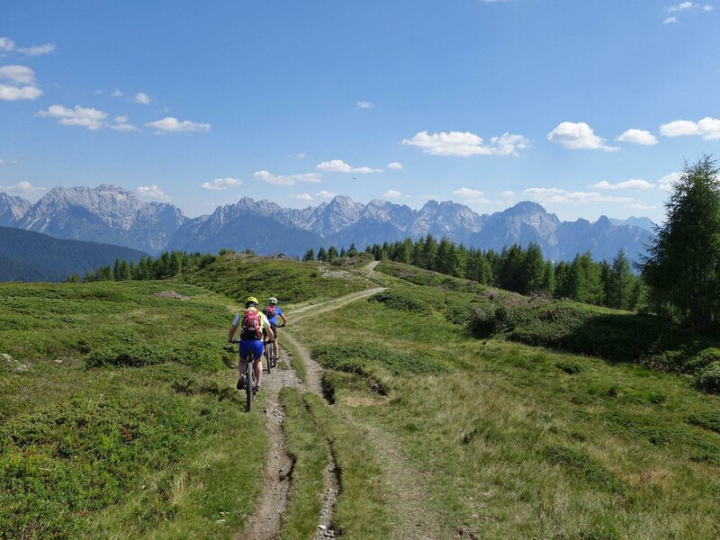
At this point we completed most of the climb, however, the most difficult ascent lies right in front of us: we proceed along the crest which coincides with the border between Italy and Austria at the foot of the summits towards southeast. The section below Mt Hornischegg and Mt Hollbrucker Spitze to Mt Hochgräntenjoch is characterised by several, very steep spots which force us to carry our bikes. In the next hilly section we cover a few hundred metres of elevation gain.
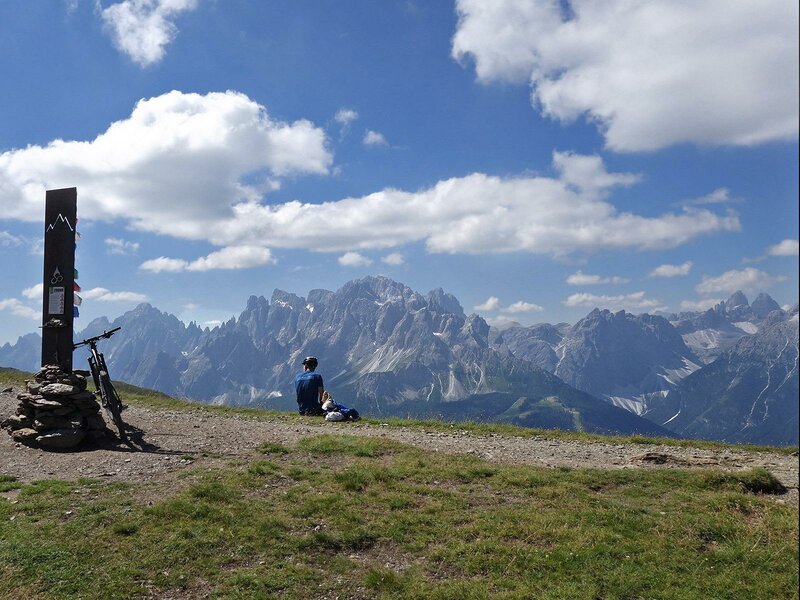
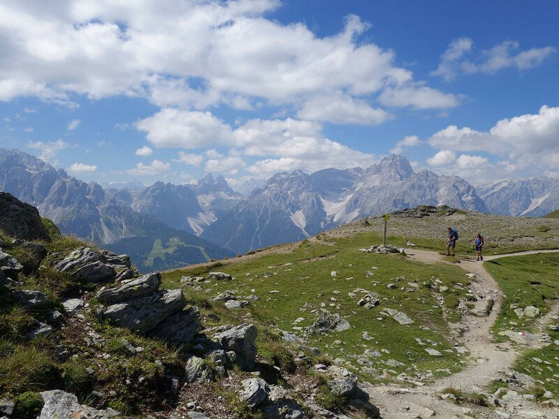
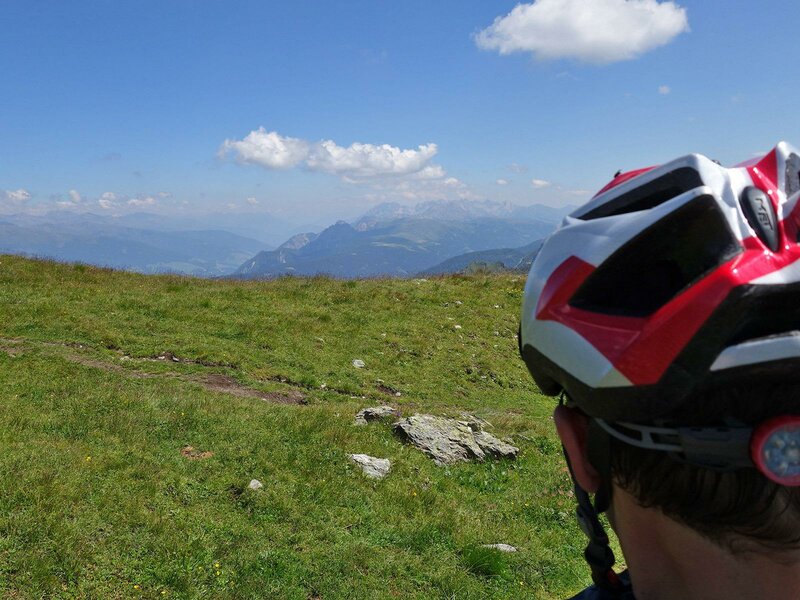
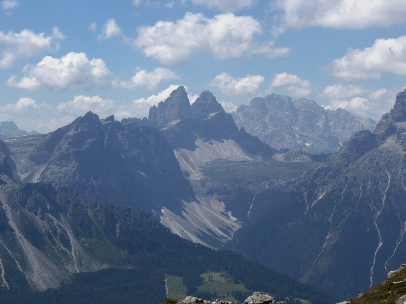
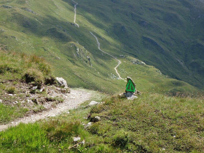
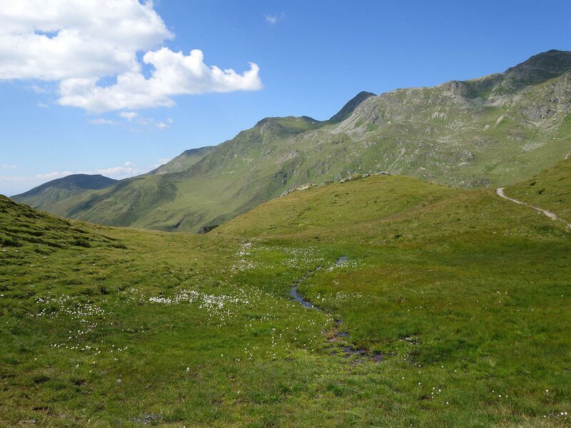
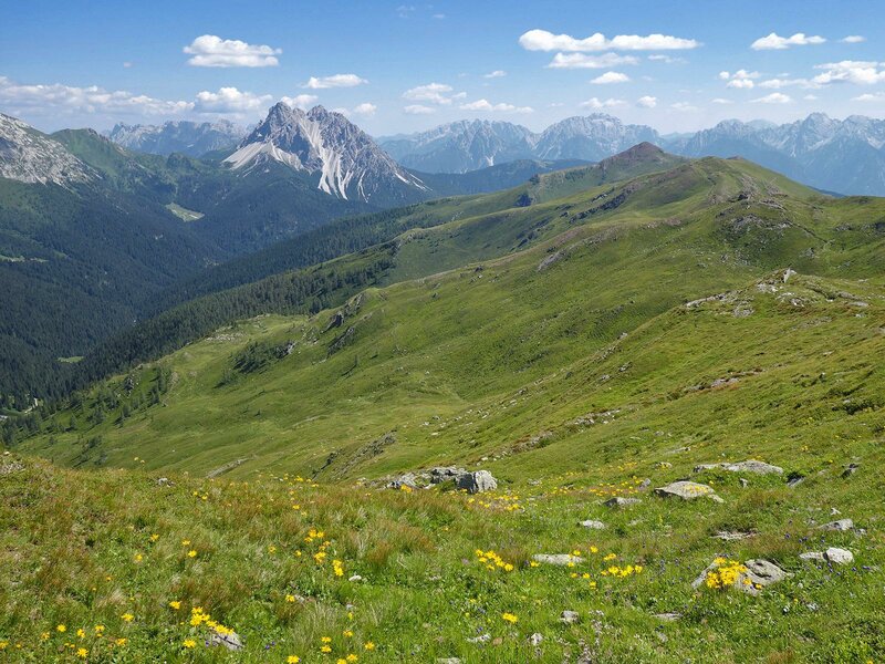
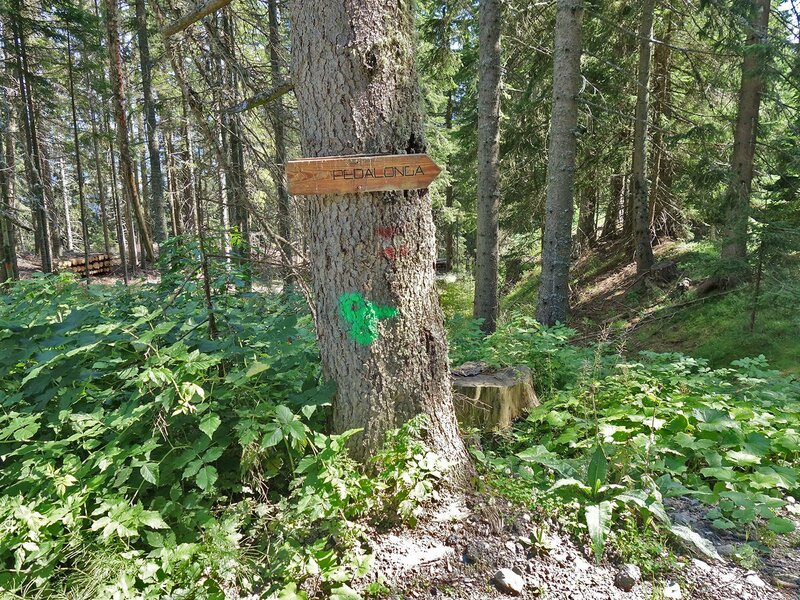
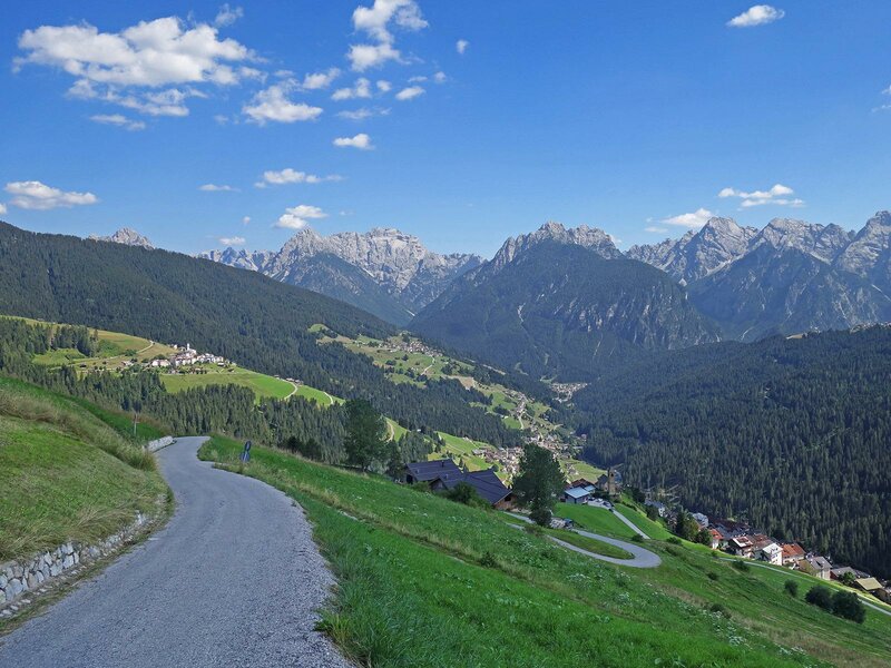
We cycle past lake Hochgräntensee and below Mt Demut we first descend to the Rotecksattel pass and then continue to Passo Silvella (Kniebergsattel) along a hilly section. The spot below the pyramid of Passo Silvella is already on Venetian territory and we left the border between South and East Tyrol behind us. We are now on a lateral branch of the Carnic Alps. The descent below the Colle della Crodata and the Col Rosson is a thrilling section for mountain bikers. The last summit cross in this area characterised by alpine meadows, is Monte Spina. Here, the single trail turns into a forest road taking us down to the village of Casamazzagno. From the passo Silvella onwards, the signposts of the Stoneman Trail coincide with those of the "Pedalonga" route. From Casamazzagno we continue on an asphalt road for a few kilometres and eventually reach the village of Padola, the destination of this stage, via Dosoledo. To be honest, the stunning panoramic views of the Dolomites definitely make up for the most challenging parts of this tour.
Date of the MTB tour: 8 August 2020
Last updated in: 2026
Author: AT
-
- Starting point:
- Sillian
-
- Overall time:
- 06:20 h
-
- Total route length:
- 34,7 km
-
- Altitude:
- from 1.077 m to 2.648 m
-
- Altitude difference (uphill | downhill):
- +1998 m | -1786 m
-
- Route:
- Sillian - Leckfeld Alm - Sillianer Hütte - Demut-Passage - Passo Silvella - Casamazzagno - Padola
-
- Signposts:
- Stoneman Trail (Logo)
-
- Destination:
- Padola
-
- Resting points:
- Leckfeldalm, Sillianer Hütte
-
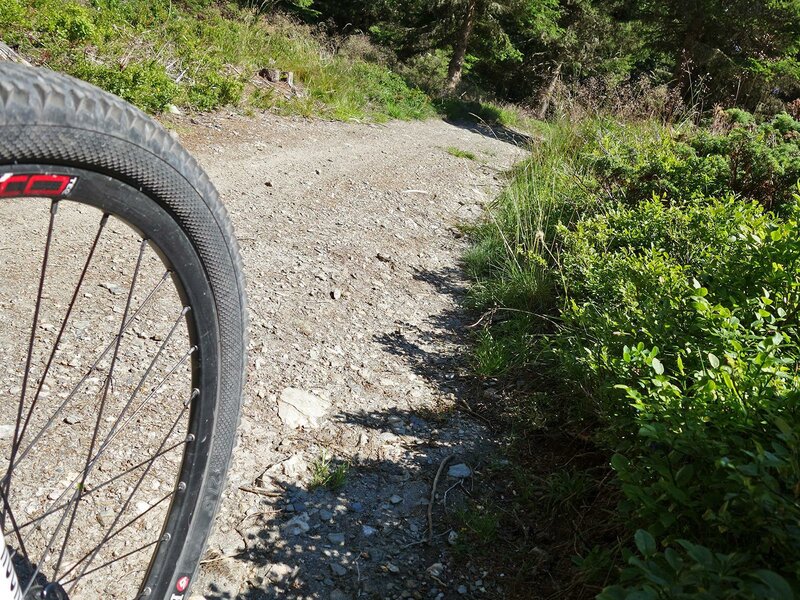
- Track surface:
- 51% single trail, 31% gravel road, 18% asphalt
-
- Recommended time of year:
- Jan Feb Mar Apr May Jun Jul Aug Sep Oct Nov Dec
-
- Download GPX track:
- Stoneman Trail, 2nd stage: the “Demut”- passage
If you want to do this tour, we suggest you to check the weather and trail conditions in advance and on site before setting out.