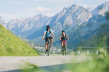
This 115-km long trip in the Lienz Dolomites (the westernmost part of the Gailtal Alps) has an elevation gain of almost 1,600 m
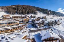
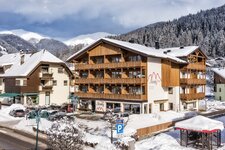
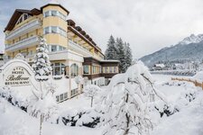
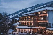
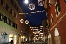
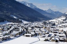
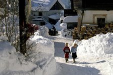
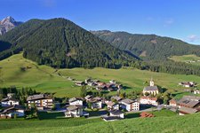
Image gallery: Gailtal Alps round trip
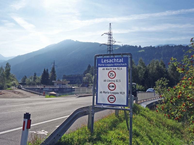
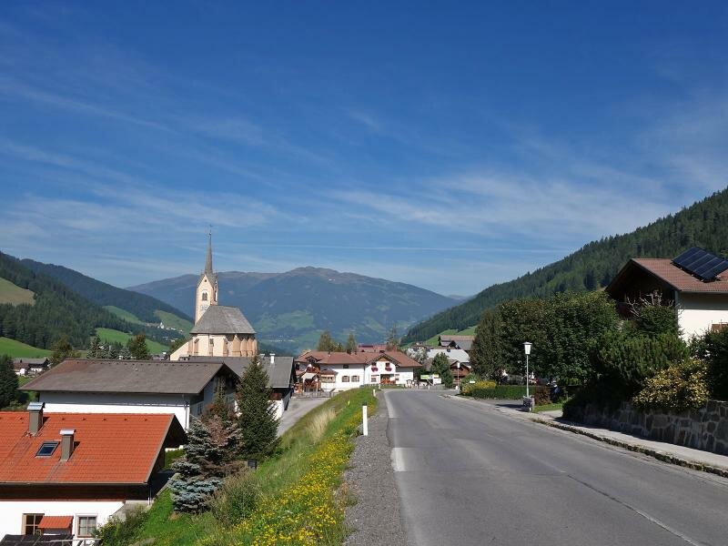
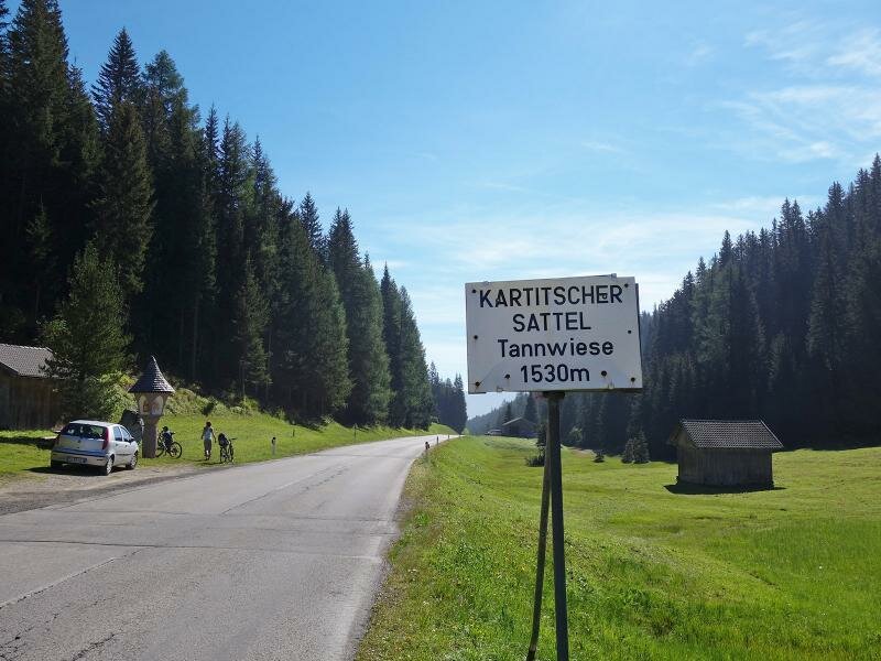
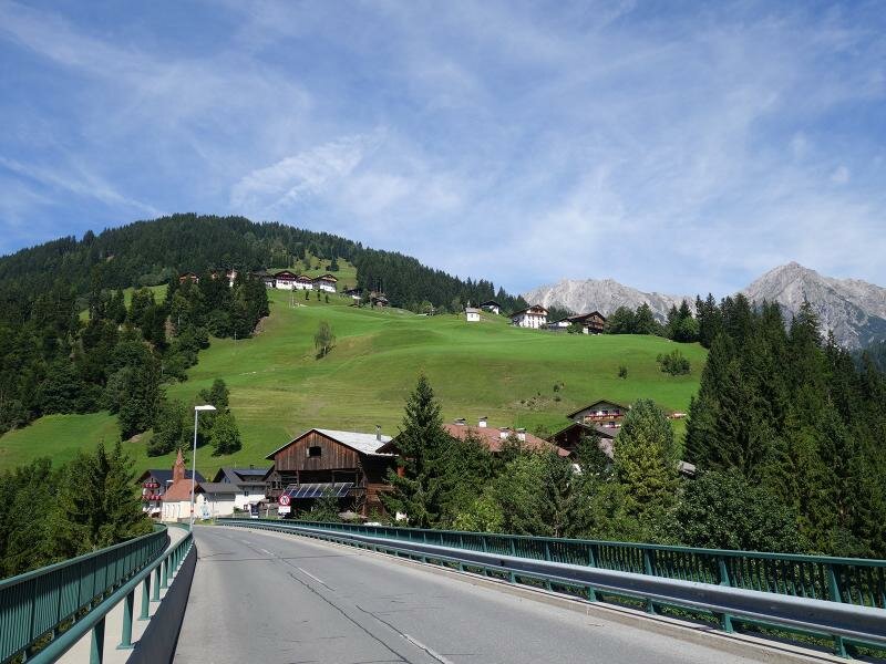
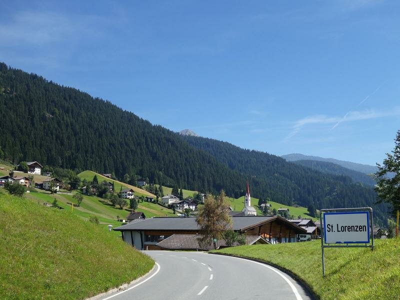
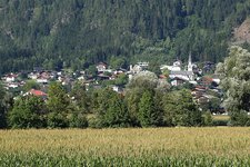
This trip takes us from Sillian to Kötschach via the Lesachtal. We return to the starting point via the Gailberghöhe pass and the Drautal. Our circular cycling tour starts in Tassenbach, a few kilometres east of Sillian, where we take the Karnische Dolomitenstraße through the Lesachtal. Soon we ascend to Kartitsch, to the Kartitscher Sattel pass and the villages of
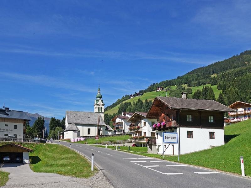
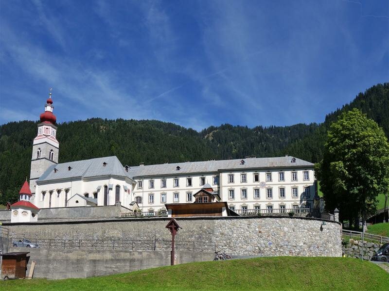
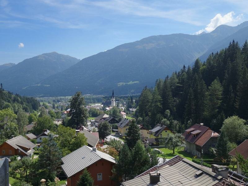
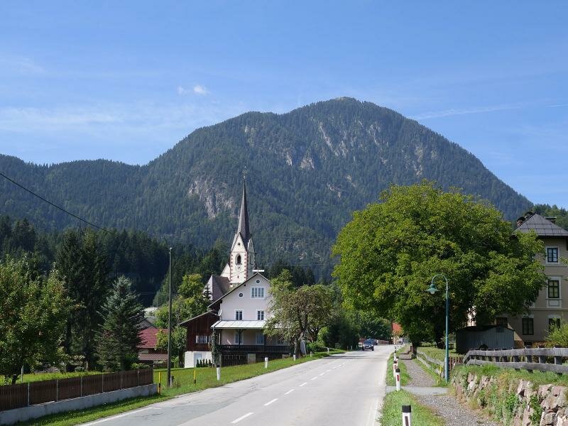
Obertilliach and Untertilliach where the border between East Tyrol and Kärnten lies. We continue until the pilgrimage site of Maria Luggau.
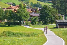
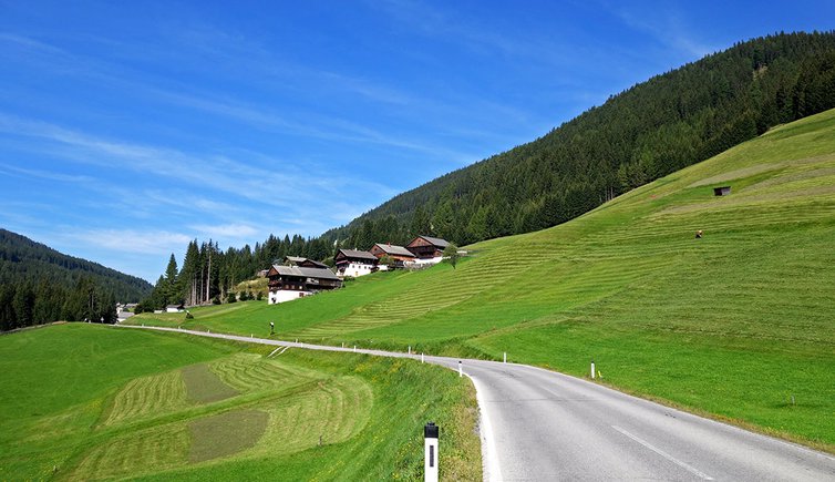
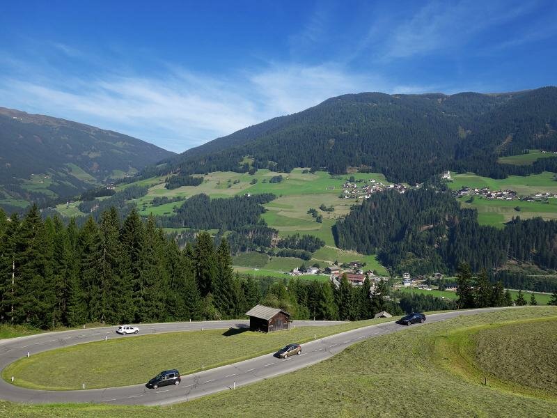
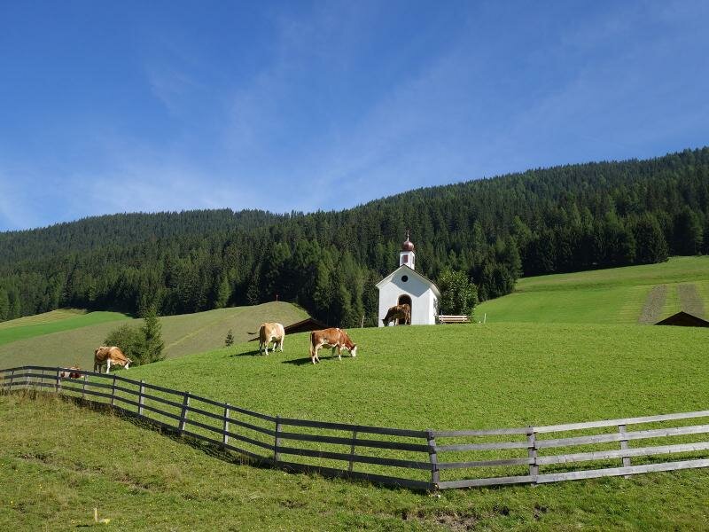
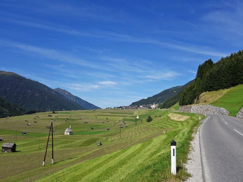
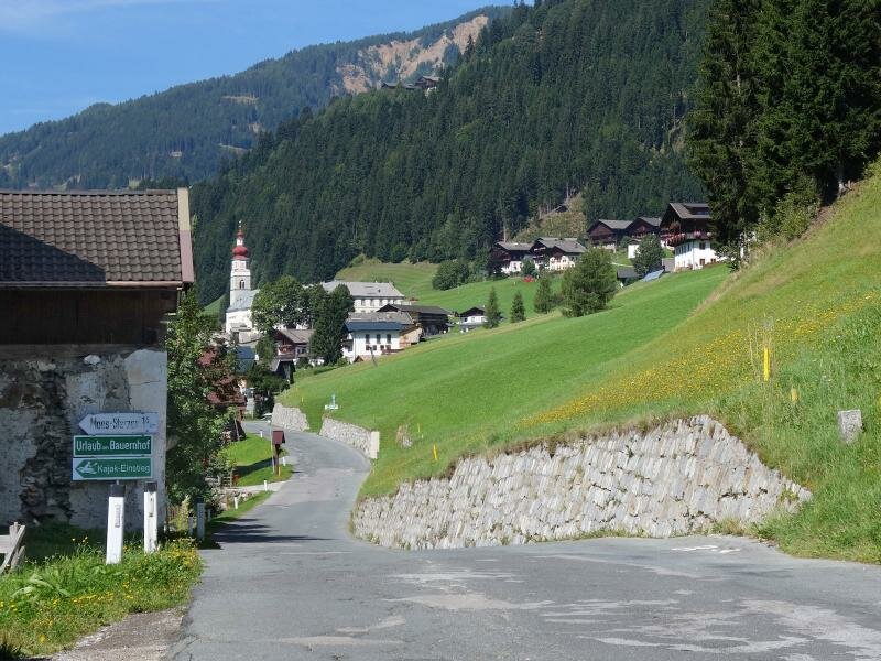
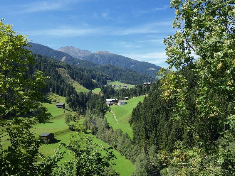
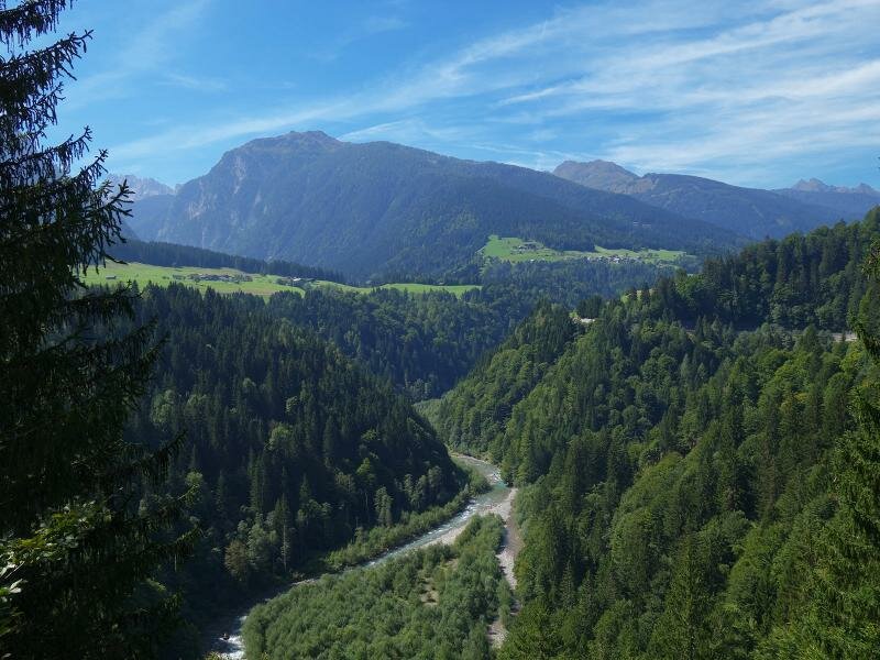
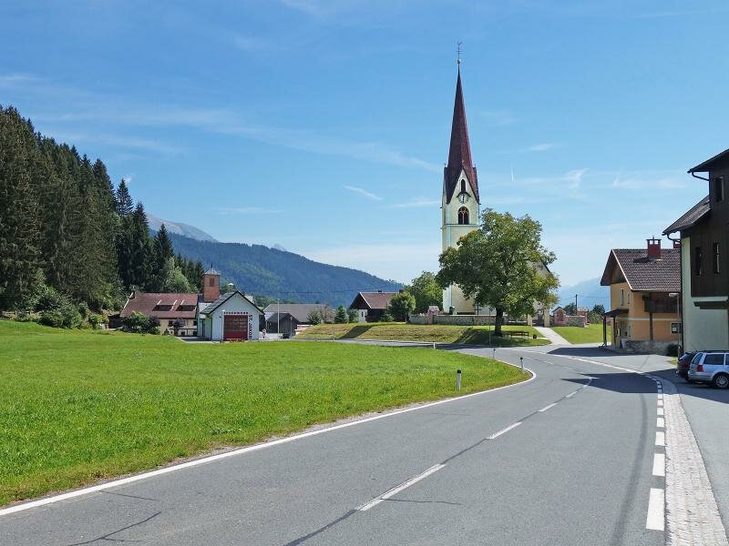
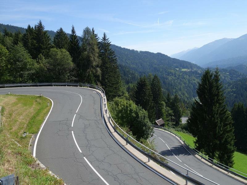
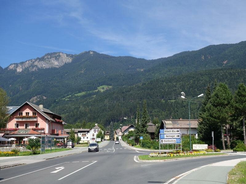
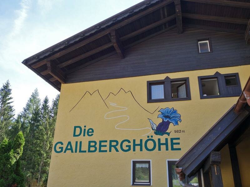
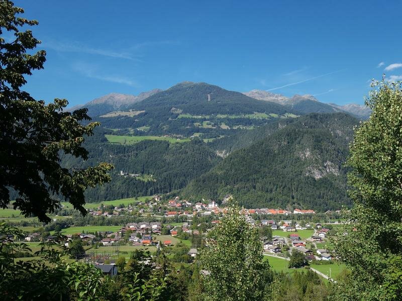
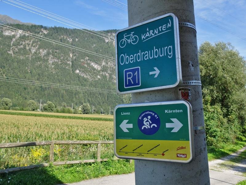
The numerous branches of the main road make this itinerary quite hilly. Even if it takes us more time to complete the hilly sections, we still stop to admire the stunning natural landscape of the valley. Having passed the villages and hamlets of the valley we descend to Kötschach-Mauthen where we follow the Bundesstraße 110 road to Oberdrauburg. We ascend to Laas and to the Gailberghöhe where we stop for a break at the restaurant.
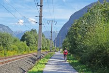
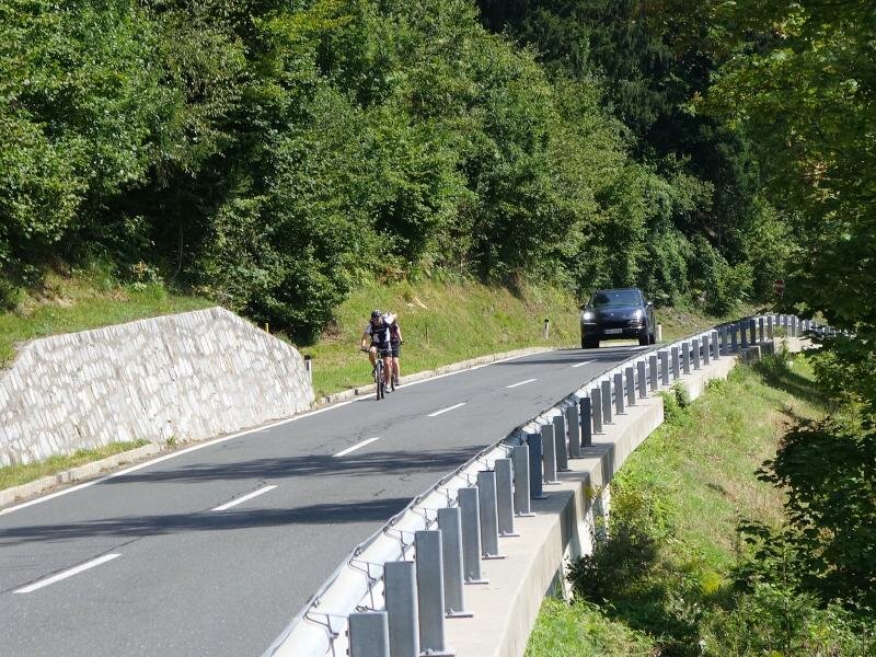
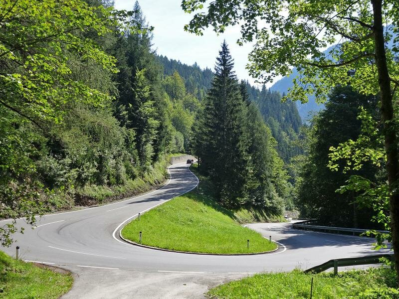
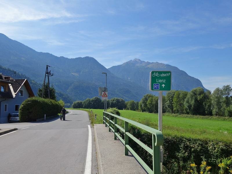
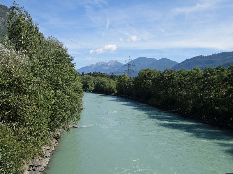
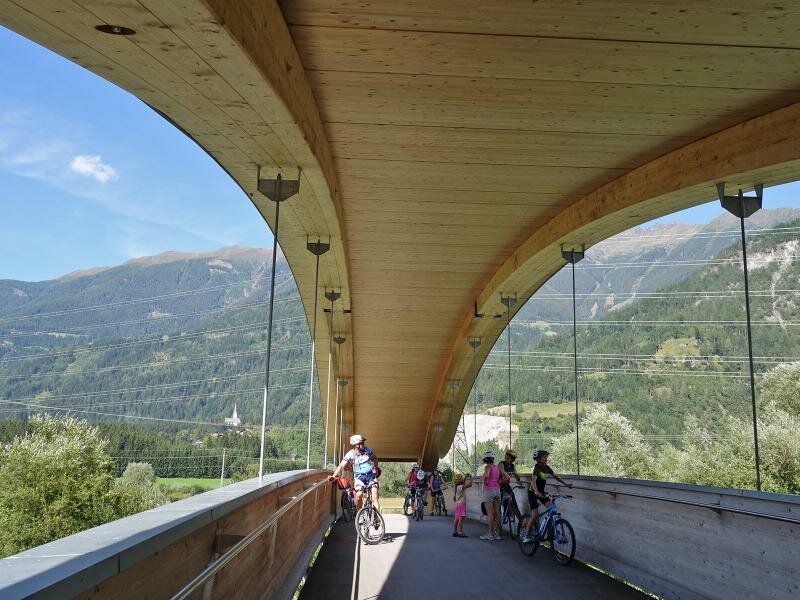
Then, we descend along several hairpin bends to Oberdrauburg. Shortly before the entrance to the village, the Drauradweg to Lienz branches off on the left. We take this cycle path through the valley until Lienz. From here we ascend along the cycle route to return to Tassenbach near Sillian. We recommend using the Bike&Train offer for the final section.
Date of the hike: 28 August 2015
Last updated in: 2026
Author: AT
-
- Starting point:
- Tassenbach
-
- Overall time:
- 05:30 h
-
- Total route length:
- 88,7 km
-
- Altitude:
- from 650 m to 1.545 m
-
- Altitude difference (uphill | downhill):
- +1131 m | -1131 m
-
- Route:
- Karnische Dolomitenstraße - Gailberg Bundesstraße up to Kötschach - Plöckenpass-Straße in direction Oberdrauburg - Drauradweg cycle path up to Lienz (or up to Tassenbach: + 550 altitude meters and + 20 km)
-
- Destination:
- Lienz
-
- Track surface:
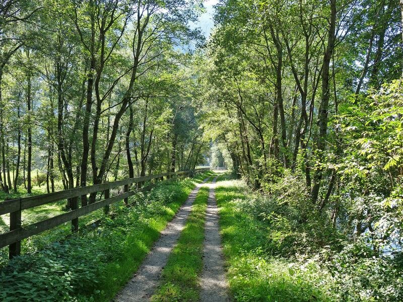
- Asphalt (except for a few unpaved sections on the Drava cycle path)
-
- Recommended time of year:
- Jan Feb Mar Apr May Jun Jul Aug Sep Oct Nov Dec
-
- Download GPX track:
- Gailtal Alps round trip