This hike through the Valle d’Altafossa is highly appreciated by families with children
Image gallery: Hike in the Valle d’Altafossa and to Lake Campolago
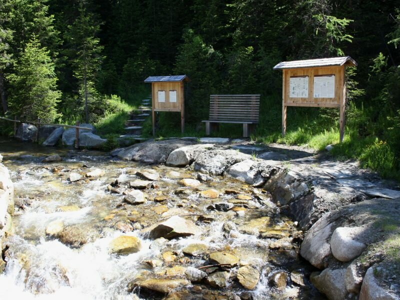
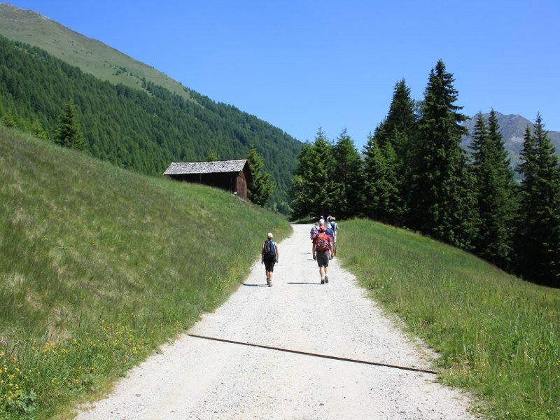
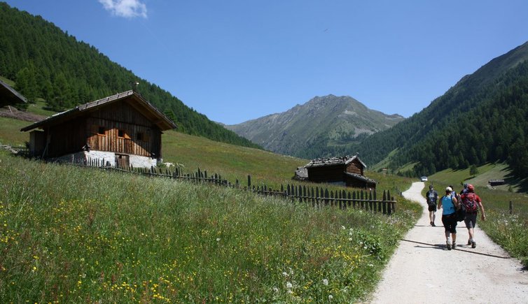
Our starting point is the car park at the entrance to the Valle d'Altafossa at 1,606 m a.s.l. near Maranza. At the crossroads in the village centre we turn left, drive past the church and follow the road to the signposted car park. Don't forget to take some coins for the parking meter with you. Initially, we follow the signposts to the Jausenstation Großberghütte and enter the valley by walking along a large forest path. At the fork we take the path on the left and continue slightly uphill through the forest.
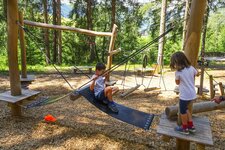
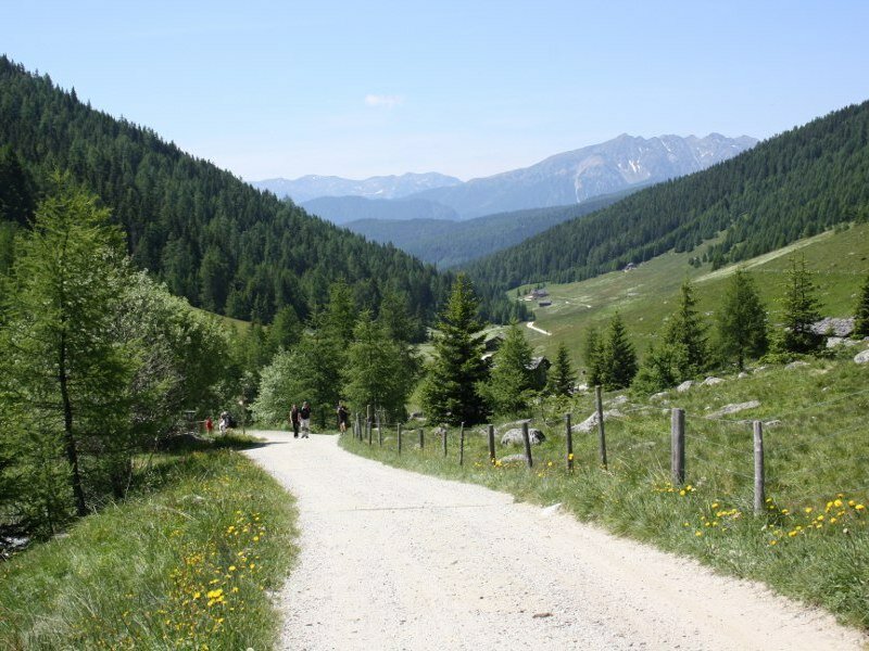
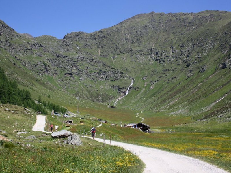
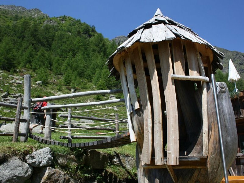
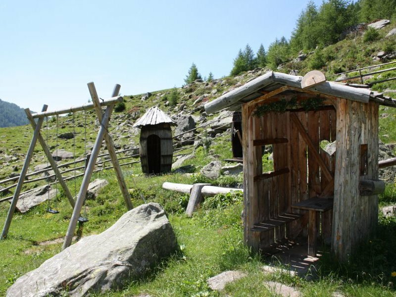
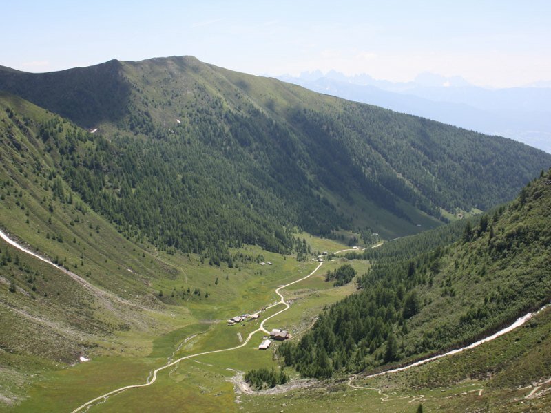
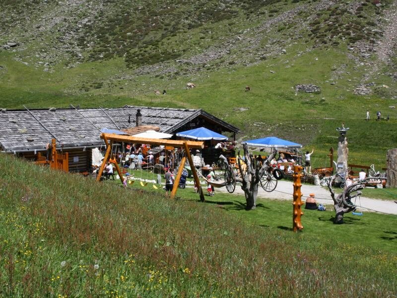
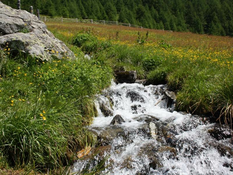
Soon we arrive at the first refreshment area, the Großberghütte hut at 1,638 m a.s.l. with its sunny terrace. We continue along the "Rundweg Altfasstal" which is surrounded by wonderful, verdant meadows covered with a sea of blooming flowers. Children can have fun playing along the riverbanks of Rio di Campolago that flows through the idyllic mountain valley. After about 1.5 hours of walking we reach te head of the valley where the malga Olle (Pranterstadelhütte) and the Wieserhütte, two beautiful mountains huts with playgrounds which attract numerous families with children every day.
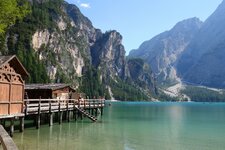
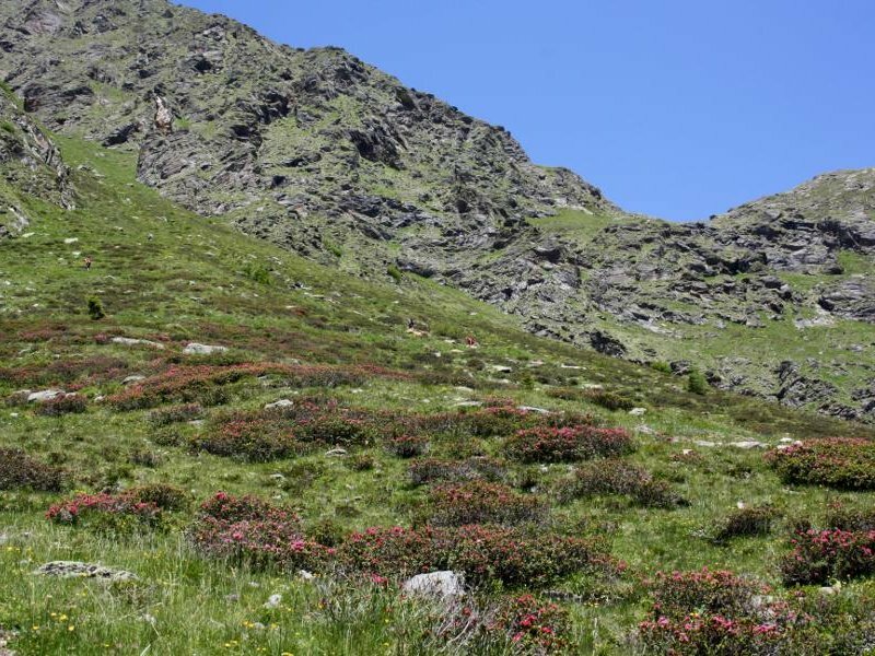
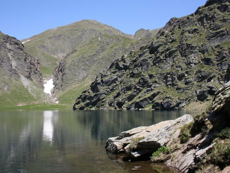
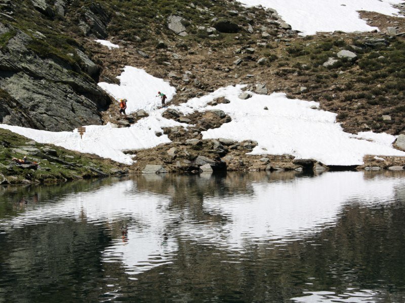
Passionate hikers can climb to the Lago Grande di Campolago by hiking along path no. 15 towards lago di Campolago starting hehind the Pranterstadelhütte hut. The path is well-maintained throughout but definitely steeper than the itinerary to the hut. However it can easily be managed by fit hikers. We admire the wonderful, pink alpine roses and enjoy the stunning view of the Valle d'Altafossa below us. After a rather demanding 1 hour walk we reach the pass from where we can see Lago di Campolago, also known as Lago Grande (2,275 m a.s.l.) behind the saddle.
Those who would like to conquer one more summit can ascend to the Cima di Campolago at 1,724 m a.s.l. You can return to the valley by retracing your steps or walking along path no. 16B until the Wieserhütte.
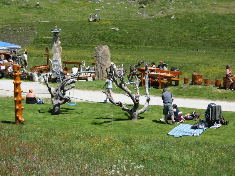
Please note: the Valle d'Altafossa is a stunning hiking destination for families and the path to the huts is accessible for baby carriages as well. The head of the valley features a payground where both adults and children can have fun on the verdant meadows.
Date of the hike: 27 June 2010
Last updated in: 2026
Author: BS
-
- Starting point:
- Valle d'Altafossa parking space, Maranza
-
- Overall time:
- 04:40 h
-
- Total route length:
- 14,0 km
-
- Altitude:
- from 1.595 m to 2.275 m
-
- Altitude difference (uphill | downhill):
- +680 m | -680 m
-
- Route:
- parking space - Grossberghütte - Wieserhütte - Pranterstadelhütte - Lake Campolago - Pranterstadelhütte - Wieserhütte - Grossberghütte - parking space
-
- Signposts:
- 15, Rundweg Altfasstal (alternative for the way back 16B, 16A)
-
- Destination:
- Lake Campolago
-
- Resting points:
- Wieserhütte, Pranterstadelhütte
-
- Recommended time of year:
- Jan Feb Mar Apr May Jun Jul Aug Sep Oct Nov Dec
-
- Download GPX track:
- Hike in the Valle d’Altafossa and to Lake Campolago
If you want to undertake this hike, we recommend you to check the weather and trail conditions in advance and on site before setting out.