The circular hike Plata-Monte Sommo-Cima Plata offers spectacular all-round views
Image gallery: Plata - Monte Sommo - Cima Plata circular hike
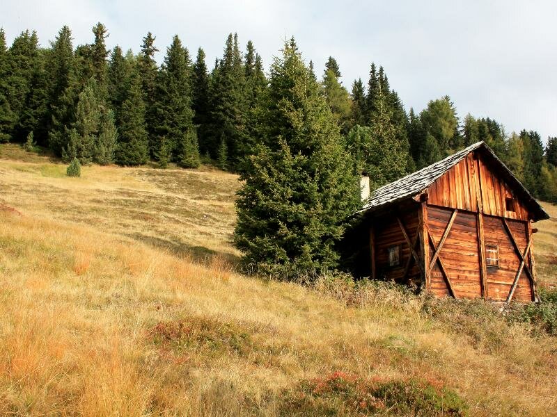

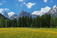
From Falzes we follow the signposts to Plata, a small hamlet above the village of Falzes along the Val Pusteria sun road. We park slightly above the Lechnerhof and take the path to Monte Sommo that starts after a barrier. Initially we walk along a forest road and shortly after we reach a fork where we turn right and ascend along a meadow which leads us into the forest. The path is well-marked throughout. We proceed on a large and moderately steep forest path. In the forest we find various panoramic viewpoints from where you can admire the villages along the Val Pusteria Sun Road and Falzes lies actually at our feet.
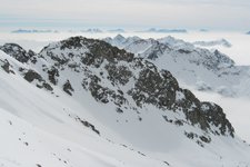
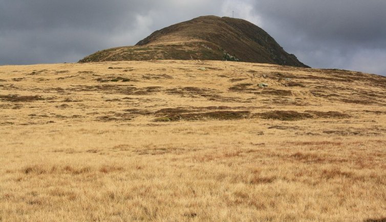
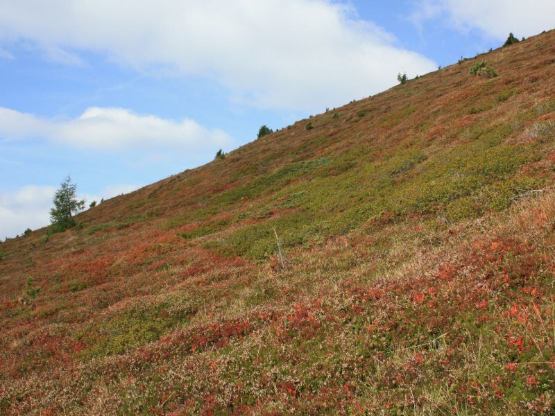
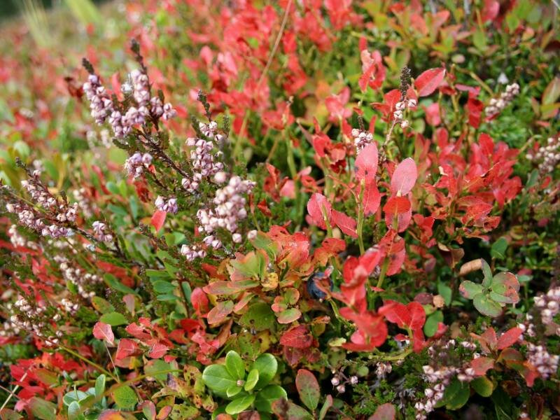
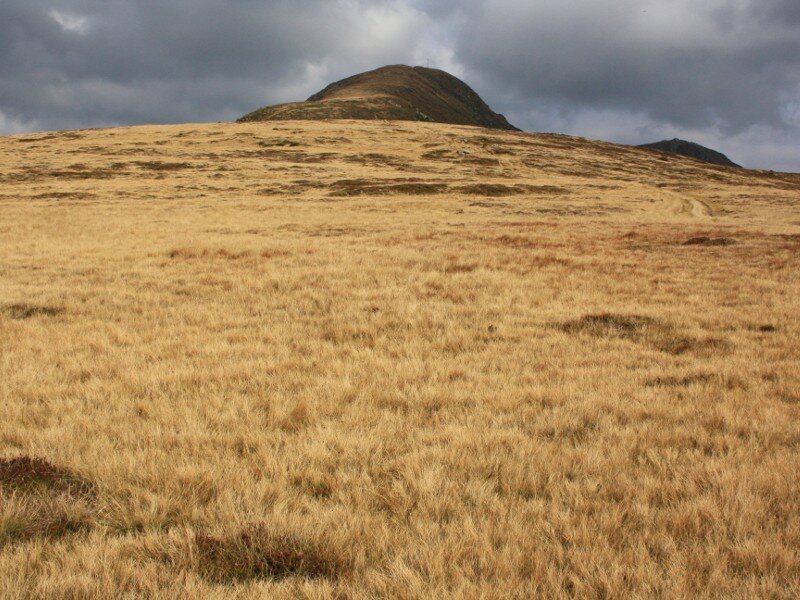
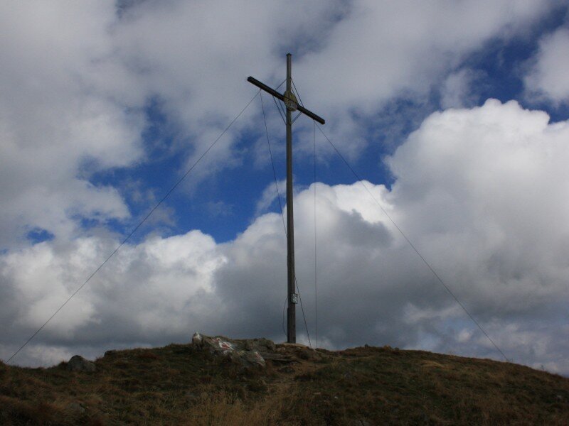
We reach a small meadow where the path narrows and leads into the forest. After a short time we arrive at the hunter's hut (1,962 m a.s.l.). The autumnal landscape is particularly marvellous. The climb we need to face now rapidly increases in steepness (200 m of elevation gain) and winds along a meadow slope. In the valley basin you can admire the city of Brunico. The delicious blackberries growing here are a valid excuse for repeated stops. We arrive at the so-called "Platte" at 2,175 m of altitude from where the peak of Monte Sommo (Sambock) is already visible. As we arrive at the peak, we enjoy a marvellous view from its panoramic platform.
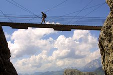
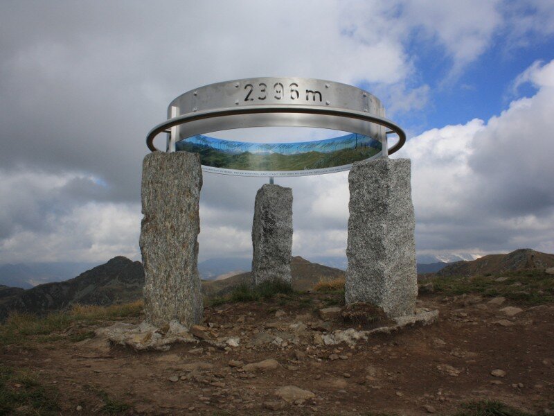
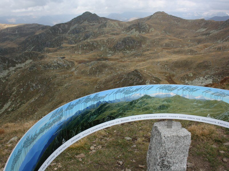
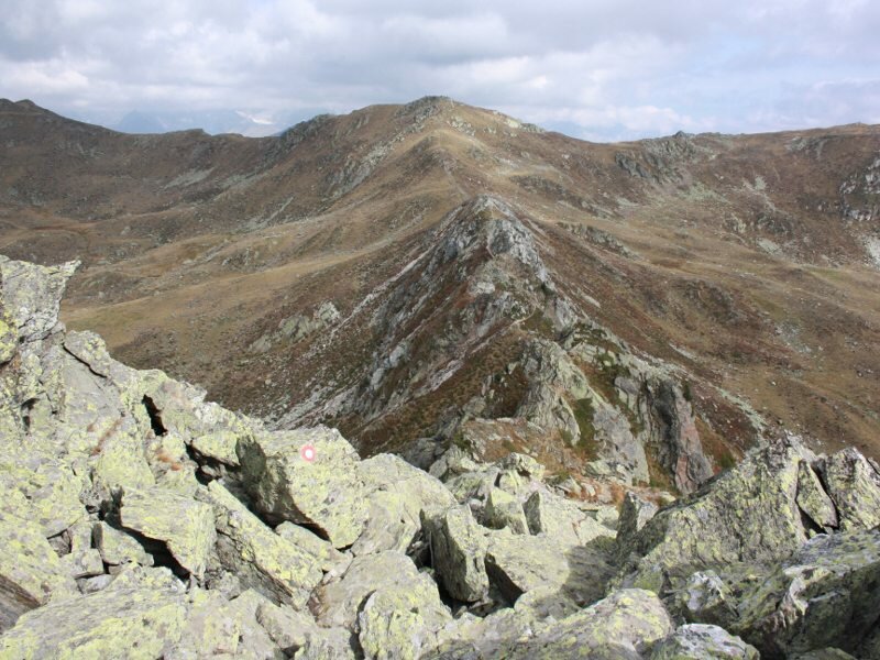
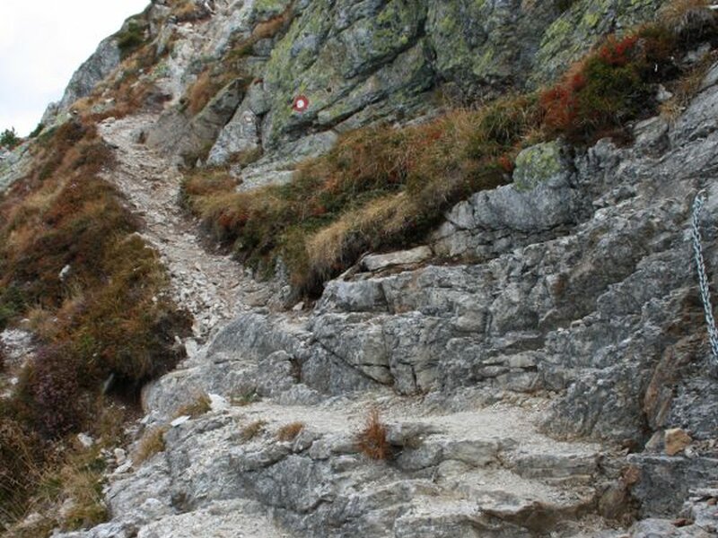
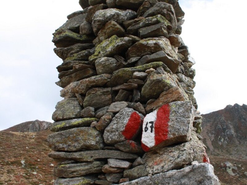
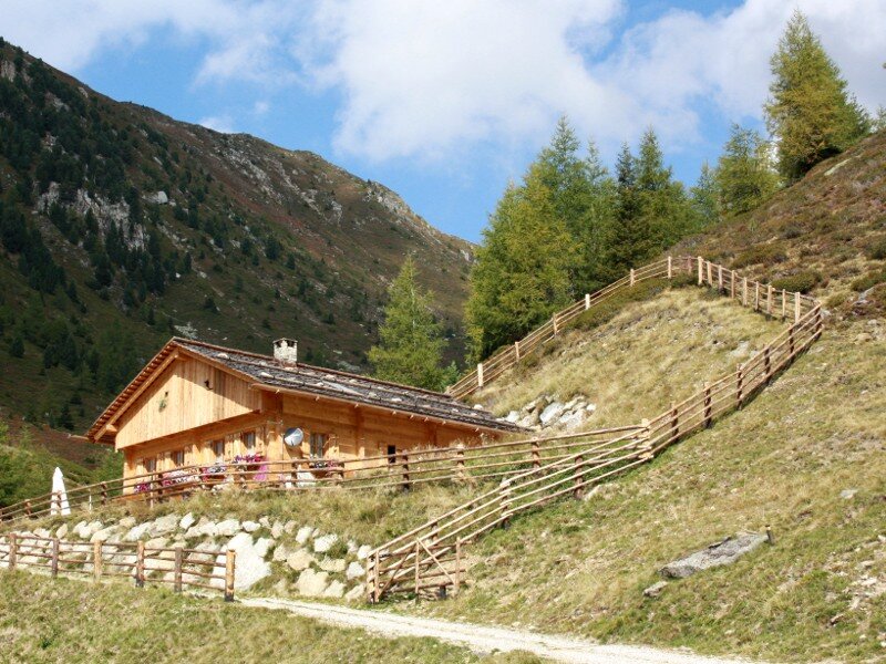
We continue towards north and continue to follow the signposts of the Pfunderer Höhenweg. As the path narrows sure-footedness and freedom from vertigo are absolutely required. A short section of the ridge is secured with steel ropes and in some parts we need to use our hands to overcome certain rocks. We cross a pass (2,365 m a.s.l.) and continue walking until we reach Cima Plata (or Plattnerspitze) at 2,428 m a.s.l. which is also the highest point of our circular hike. Here we can even see a marmot. At the pass between Cima Plata and Cima Bärental we take path no. 67 towards the lakes Laghi di Plata. We walk past them and reach the Plattner Alm hut at 1,942 m a.s.l. where a large forest road through the forest leads us to a fork before taking us back to our starting point.
Please note: this hike is relatively easy until Monte Sommo. The crossing of the ridge however is recommended only to sure-footed hikers. It is possible to extend this hike to three peaks by adding the Cima Bärental (2,450 m a.s.l.). It is advisable to undertake the described hike between late spring and autumn.
Date of the hike: 20 September 2010
Last updated in: 2026
Author: BS
-
- Starting point:
- Plata (Falzes)
-
- Overall time:
- 04:30 h
-
- Total route length:
- 10,8 km
-
- Altitude:
- from 1.600 m to 2.428 m
-
- Altitude difference (uphill | downhill):
- +879 m | -879 m
-
- Route:
- Lechnerhof - hunting lodge - Mt. Monte Sommo - Mt. Cima Plata - Laghi di Plata lakes - Malga di Plata mountain hut - Lechnerhof
-
- Signposts:
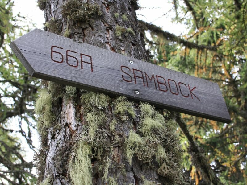
- no. 66A, Alta Via di Fundres (white and red marker)
-
- Resting points:
- Malga di Plata mountain hut
-
- Recommended time of year:
- Jan Feb Mar Apr May Jun Jul Aug Sep Oct Nov Dec
-
- Download GPX track:
- Plata - Monte Sommo - Cima Plata circular hike
If you want to undertake this hike, we recommend you to check the weather and trail conditions in advance and on site before setting out.