This autumn hike with stunning panoramic view starts at the Passo Stalle in the Valle di Anterselva
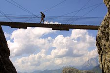
Image gallery: Mountain tour to the Croda Rossa
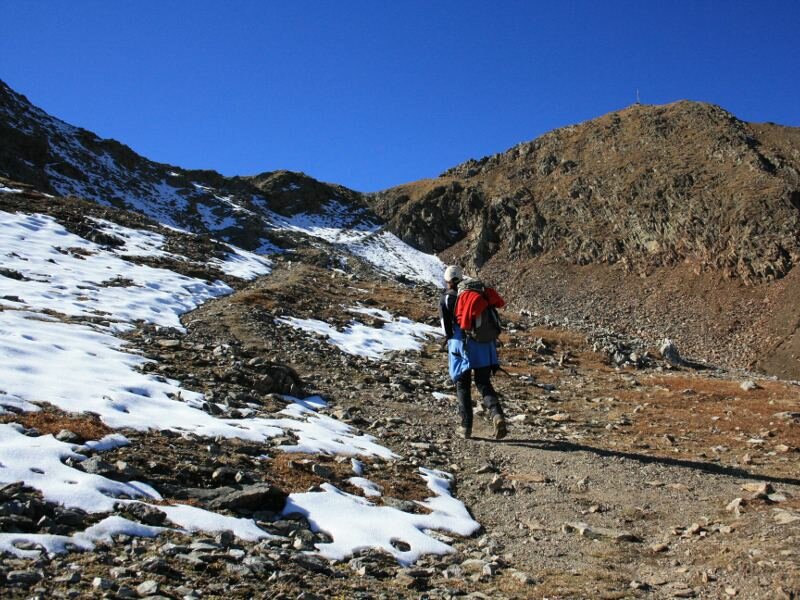
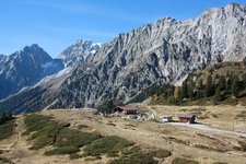
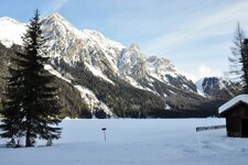
Our hike in the mountains of the Valle di Anterselva (Antholzertal) is a perfect opportunity to enjoy the spectacular autumn landscape of South Tyrol (Alto Adige) before winter comes. As we drive up to passo Stalle (Staller Sattel) at 1,052 m a.s.l. and past Lake Anterselva we admire the golden larch tree forests along the road. The road to passo Stalle is open every hour from 30 to 45 minutes past the hour. We park at the car park from where we take path no. 7 on the right towards Croda Rossa (Rote Wand).
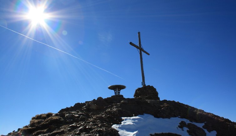
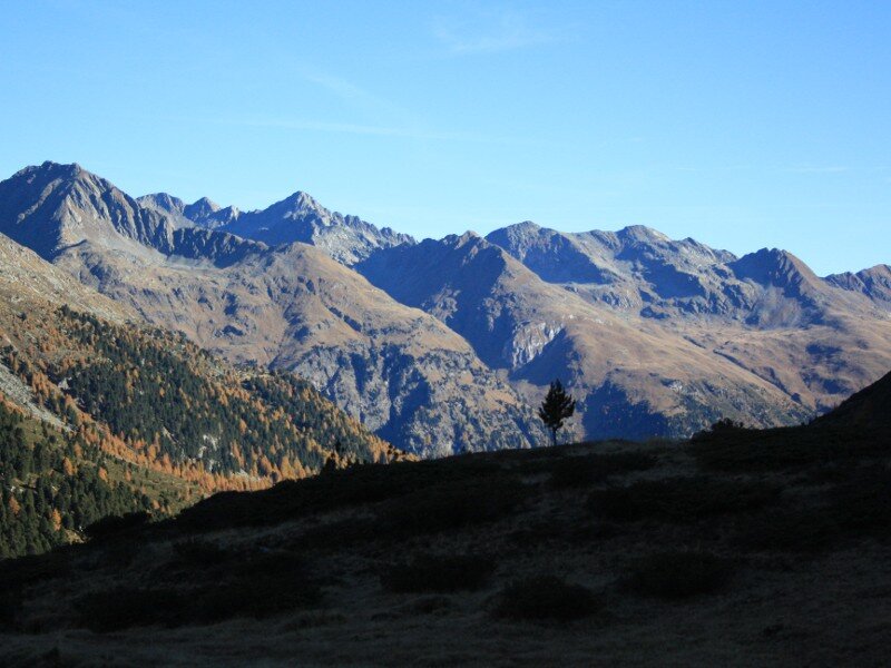
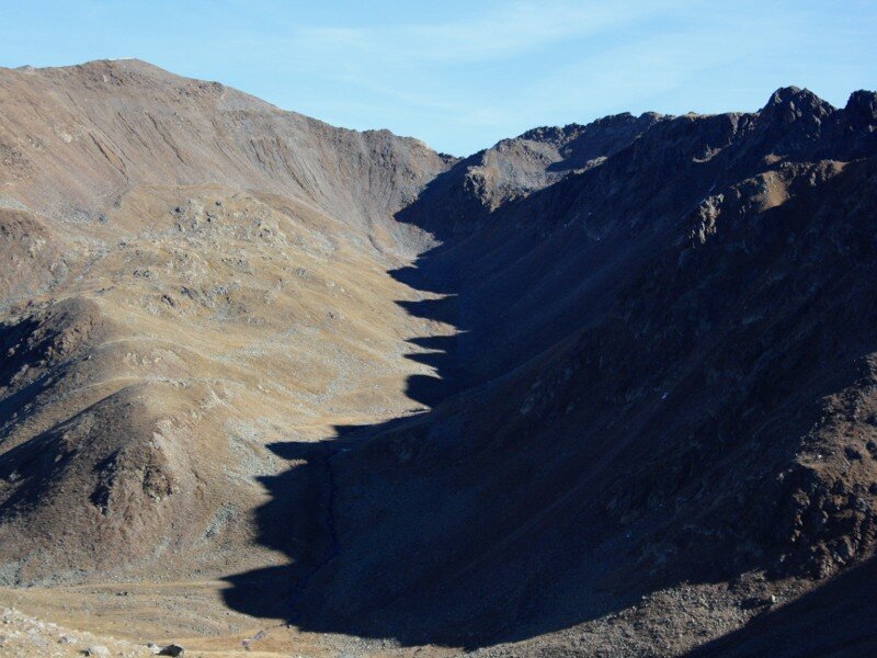
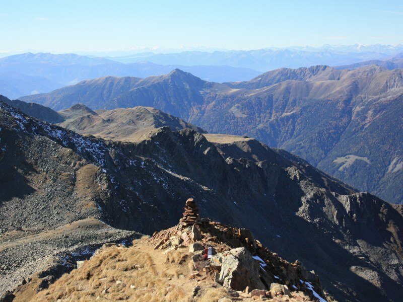
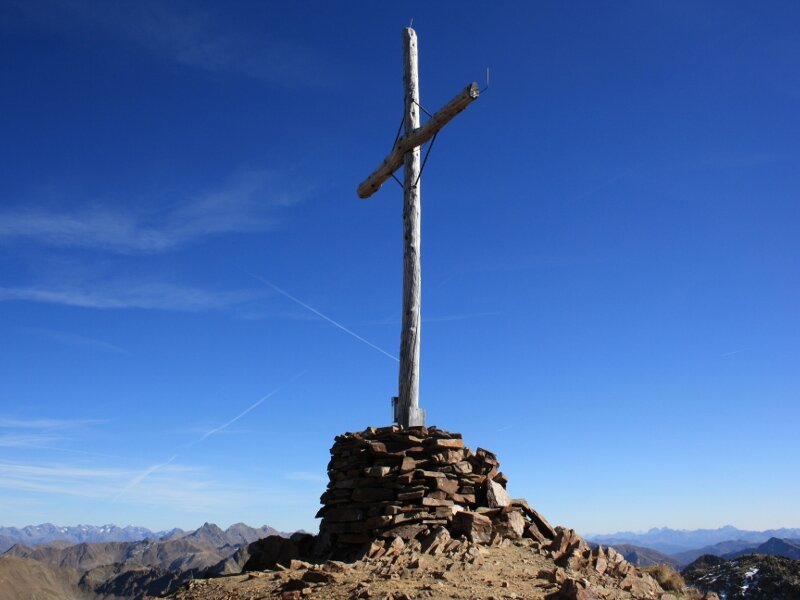
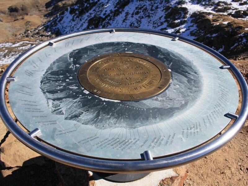
This well-marked path takes us towards the valle Agsttal with its magnificent autumnal landscape. The most impressive mountains on the opposite valley side are Collalto (Hochgall), Collaspro (Wildgall), Grande and Piccolo Orecchio (Große und Kleine Ohrenspitze) and Almenhorn. The path winds along a pleasant ascent along the riverbank which we cross on wooden bridges in some points. We arrive at a fork from where a path to malga Steinzgeralm starts but we continue to follow the hiking path to Croda Rossa. In a half circle towards right we reach a large basin. The summit cross comes into sight and the ascent towards the pass steepens. The view of the surrounding mountains is simply amazing. The short slope to the summit requires sure-footedness. Once at the top (2,817 m a.s.l.) we read interesting facts on the surrounding mountains on a table...
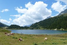
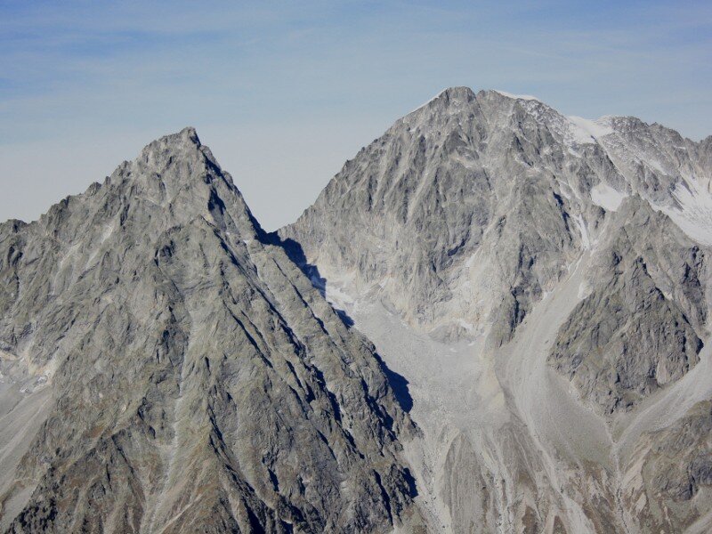
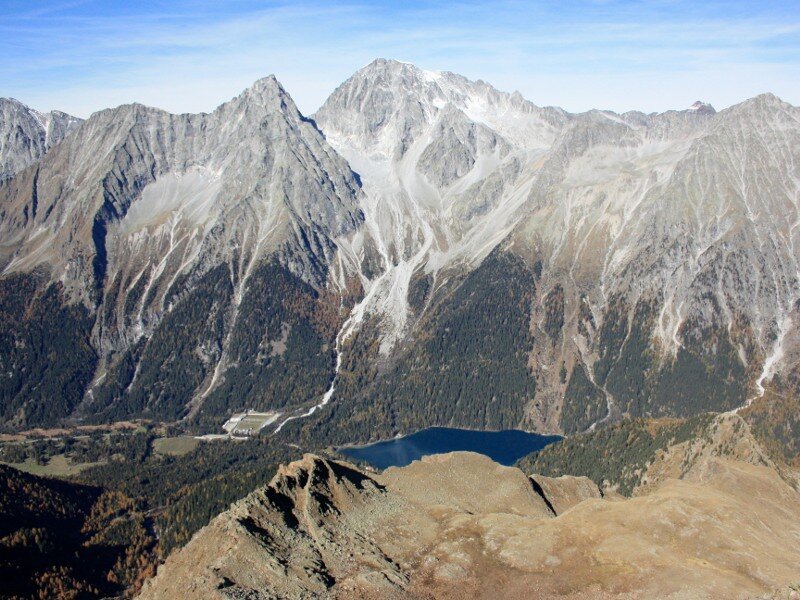
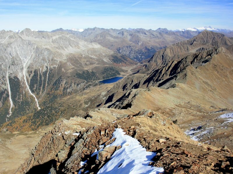
The panoramic view extends from Mt Ortles (Ortler) and Palla Bianca (Weißkugel) in the west to the glaciers of the Zillertal Alps, the Vedrette di Ries (Rieserfernergruppe), the Grossglockner in East Tyrol, the peaks of the Sesto and Lienz Dolomites and even further. The view of Collaspro and Collalto on the opposite valley side with Lake Anterselva at the foot of the two mountains and lake Obersee in Austria is particularly stunning. We return on the same path.
Please note: This relatively easy hike is recommended in summer and autumn. The last section of the path is often slippery and steep and requires sure-footedness and some physical endurance. Croda Rossa is also a well-known destination for ski tours.
Author: BS
-
- Starting point:
- Passo Stalle pass
-
- Overall time:
- 04:15 h
-
- Total route length:
- 11,2 km
-
- Altitude:
- from 2.052 m to 2.817 m
-
- Altitude difference (uphill | downhill):
- +765 m | -765 m
-
- Signposts:
- 7
-
- Destination:
- Croda Rossa
-
- Recommended time of year:
- Jan Feb Mar Apr May Jun Jul Aug Sep Oct Nov Dec
-
- Download GPX track:
- Mountain tour to the Croda Rossa
If you want to undertake this hike, we recommend you to check the weather and trail conditions in advance and on site before setting out.