This autumn hike leads past different information boards providing interesting information on nature
Image gallery: Lake Anterselva Nature Path
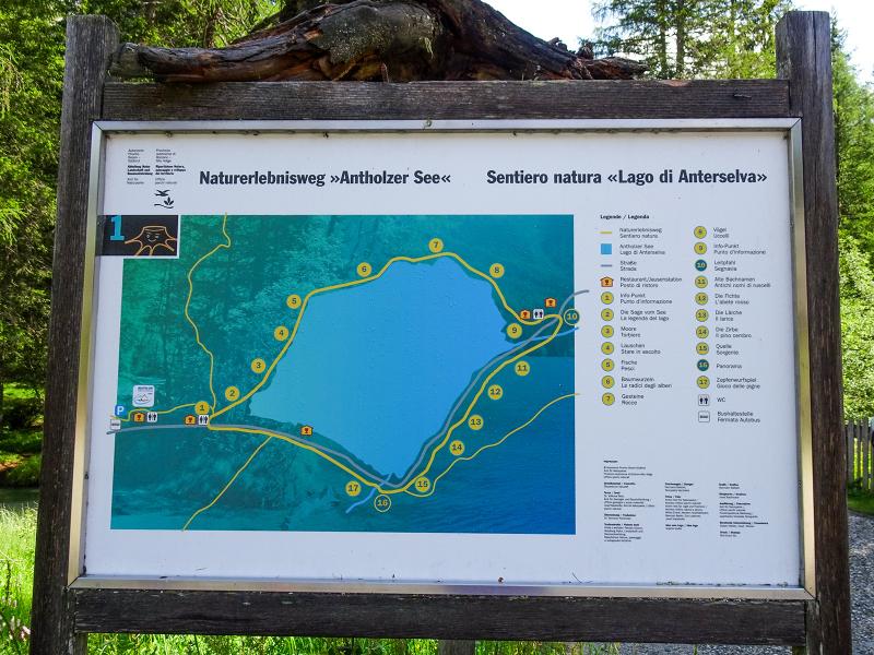
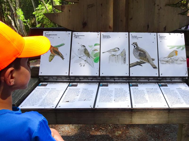

We drive to the starting point of today's hike by crossing the valle di Anterselva. We pass the biathlon stadium of Anterselva and continue until the car park near the Tiroler Hütte at 1,600 m a.s.l. An information board indicates the starting point of the nature path which we will cover clockwise. This educational path inaugurated in 2003 features several information boards telling interesting facts on the surrounding flora and fauna. Furthermore you will discover what the most important rocks are and learn more about natural phenomena and different tree species. The itinerary is therefore suitable for people of all ages.
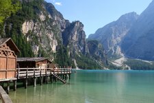
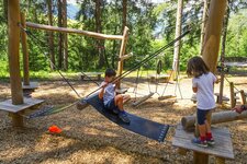
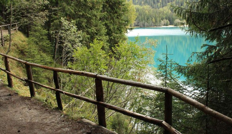
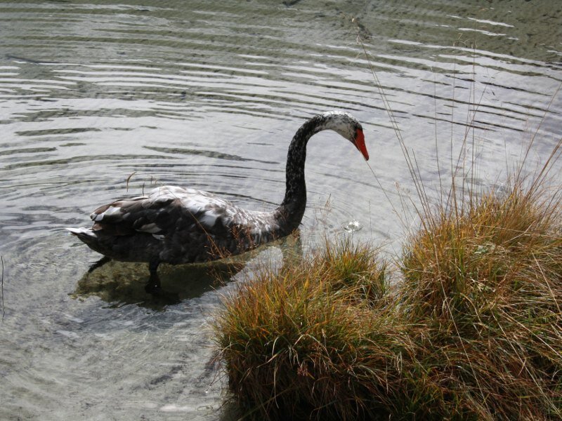
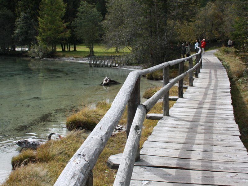
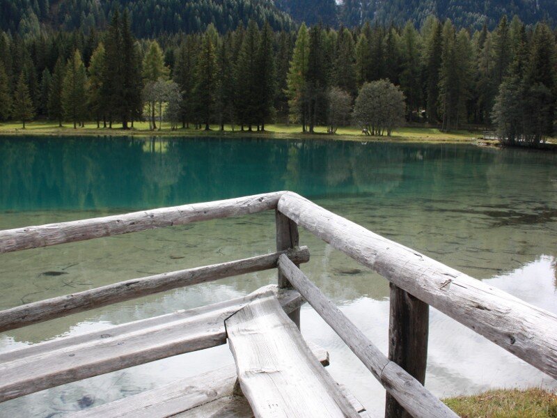
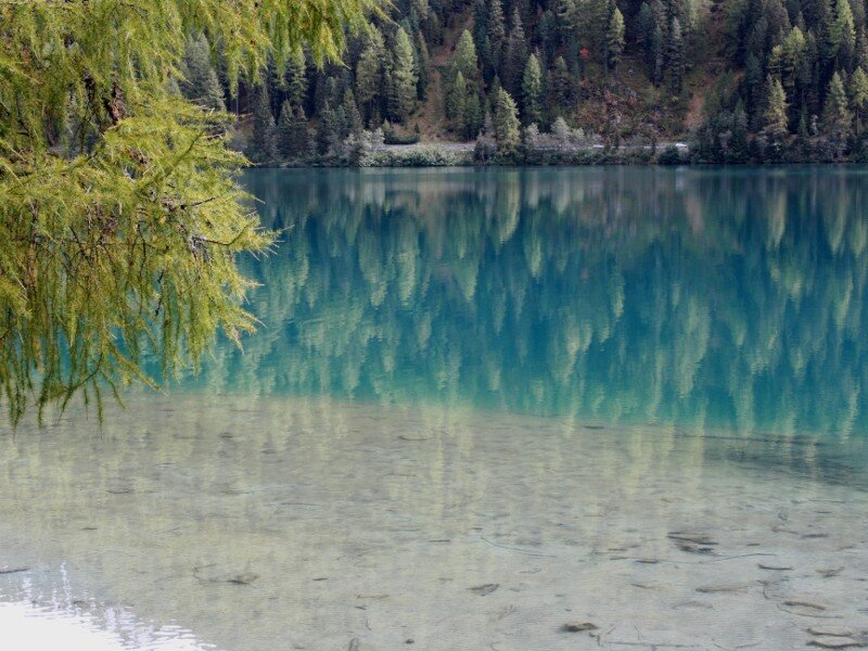
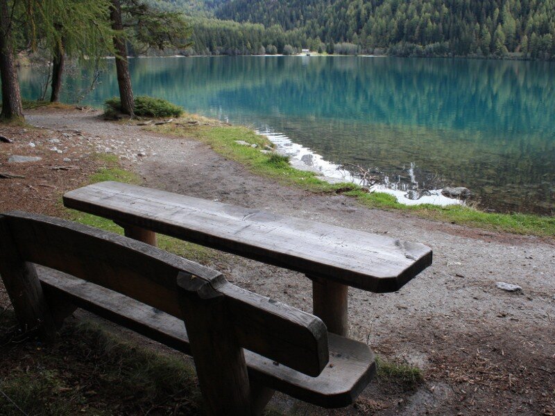
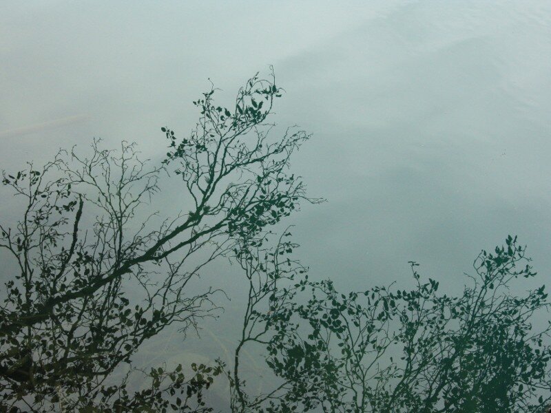
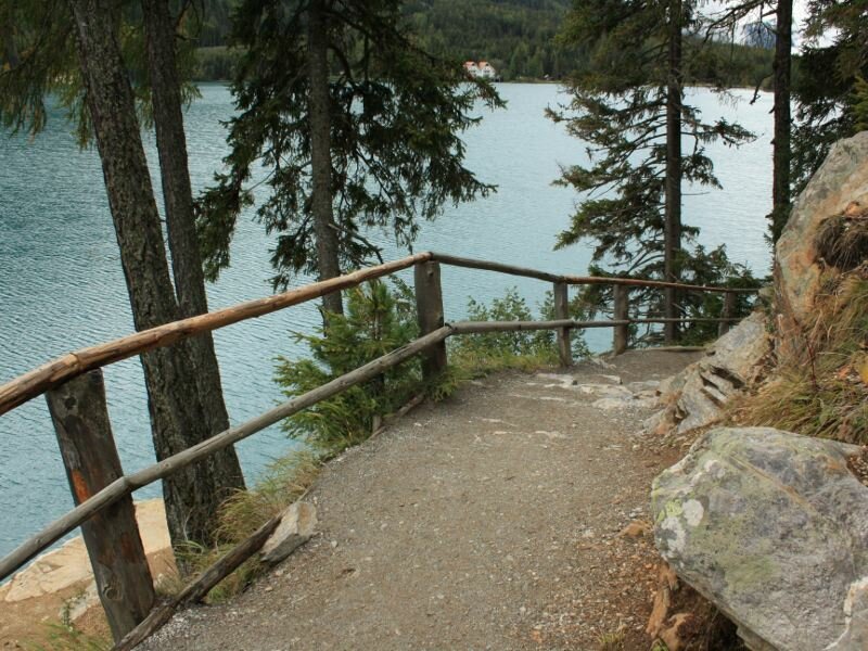
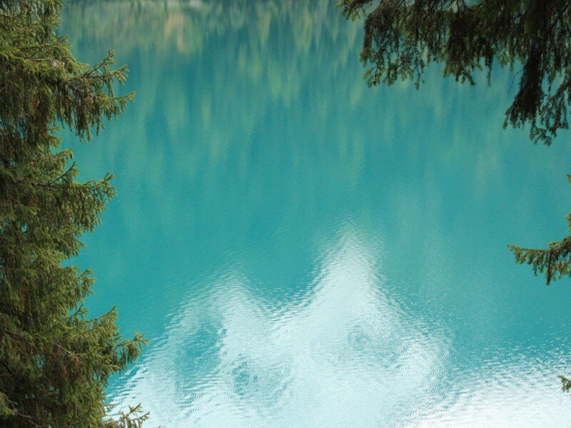
Initially, the route runs along the lake shores on a beautiful wooden dock which was built right above the water in some spots. The larch trees and the partially snow-covered peaks of the Vedrette di Ries group are reflected in the water of the lake which is a natural habitat for various swans. Soon we enter a forest by covering some steps. The green Anterselva lake can be admired from different angles. At the eastern border of the lake you can find a restaurant and a playground for children. After a good cup of coffee we continue walking by crossing the road to passo Stalle. The path taking us back to our starting point develops in the forest high above the lake and it is only from this perspective that we notice the impressive expansion of the lake.
Unfortunately, the clouds block the view of the amazing Monte Collalto (3,436 m). The entire itinerary is characterised by numerous installations where both children and adults discover highly-interesting information on nature and find the answers to common questions, including: who is the nutcracker? What fish live in the Lago di Anterselva? How can you recognise trees and pine cones? What are the consequences of an avalanche? Why do plants have roots? - a highly educational experience.
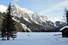
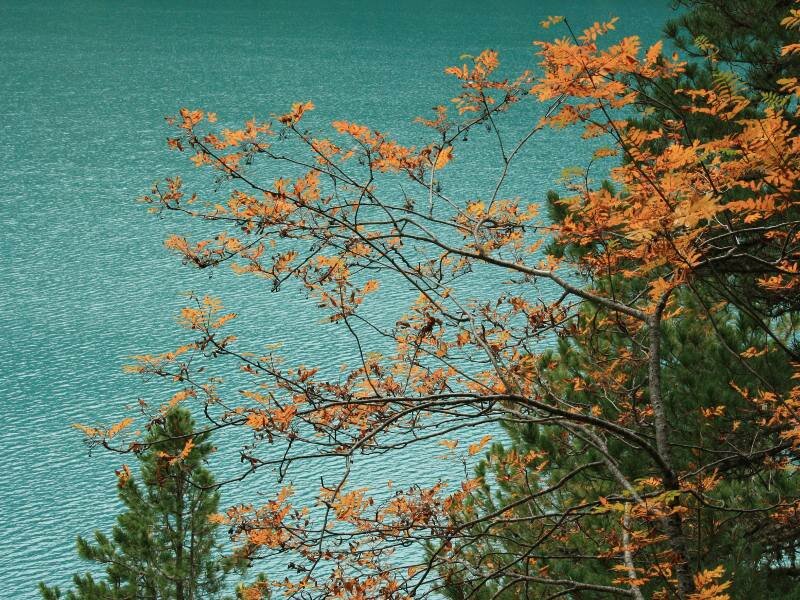
Please note: thanks to its significant altitude (1,600 m a.s.l.) this route can be completed on hot summer weekends and in autumn when the leaves colour to shades of red, yellow, orange and brown and the partially snow-covered peaks of the surrounding mountains are reflected in the water of the lake.
Date of the hike: 26 September 2010
Last updated in: 2026
Author: BS
-
- Starting point:
- Parking space at Lake Anterselva
-
- Overall time:
- 01:10 h
-
- Total route length:
- 4,0 km
-
- Altitude:
- from 1.635 m to 1.681 m
-
- Altitude difference (uphill | downhill):
- +45 m | -45 m
-
- Signposts:
- Seerundweg/Naturlehrpfad
-
- Resting points:
- Restaurant Platzl am See
-
- Recommended time of year:
- Jan Feb Mar Apr May Jun Jul Aug Sep Oct Nov Dec
-
- Download GPX track:
- Lake Anterselva Nature Path
If you want to undertake this hike, we recommend you to check the weather and trail conditions in advance and on site before setting out.