This short hike to malga Hofstatt is particularly suitable for families with children
Image gallery: From Anterselva di Sotto to the Malga Hofstatt mountain hut
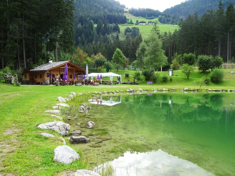
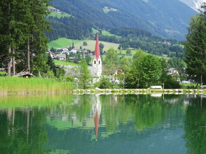
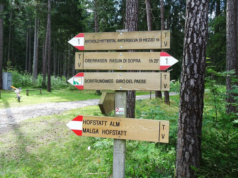
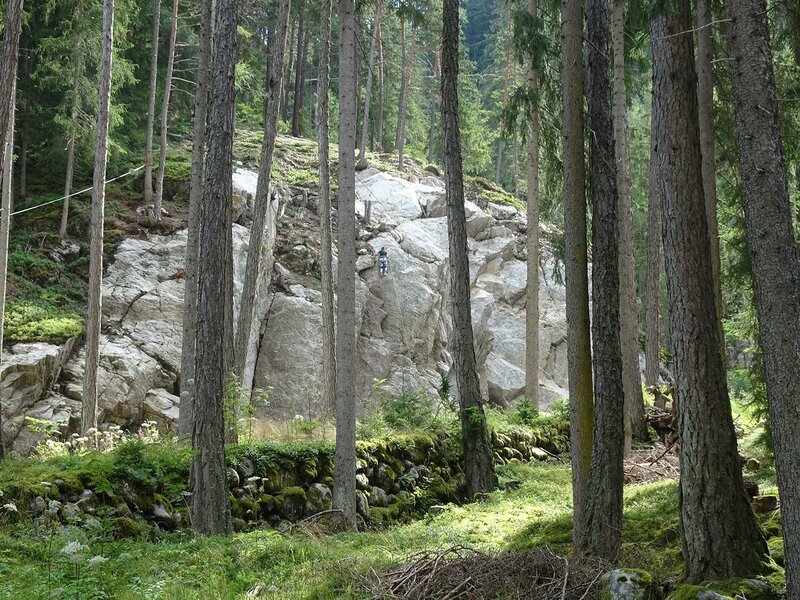
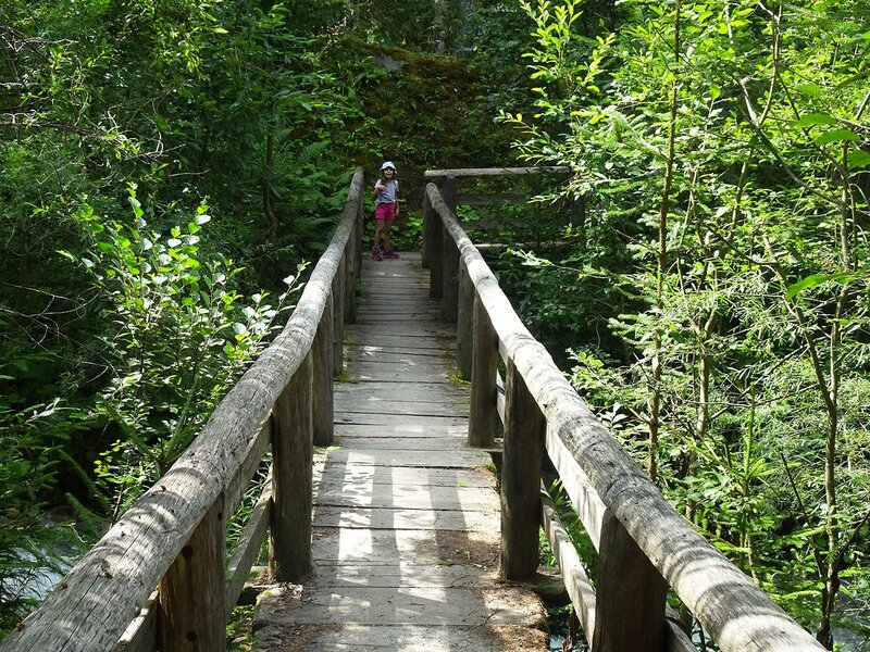
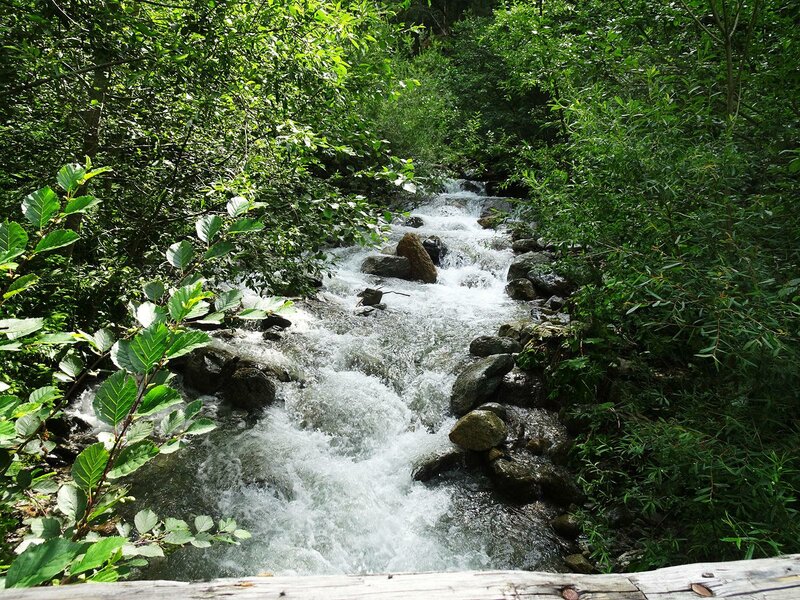
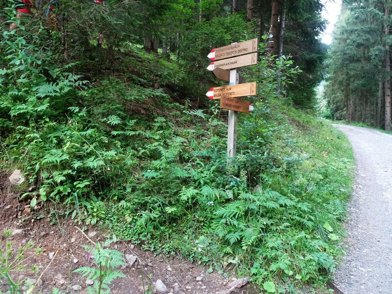
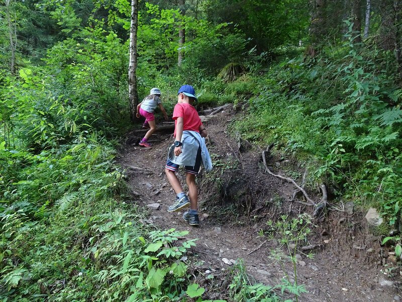
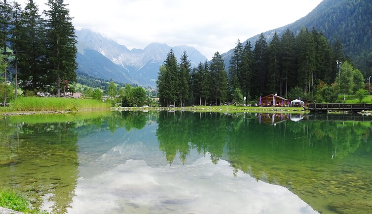
The starting point of today's hike is the fish pond in Anterselva di Sotto (1,100 m a.s.l.). We follow the signpost "Hofstatt Alm" and ascend through the forest. Soon we walk past a climbing garden and take the forest path thanks to which we gain altitude.
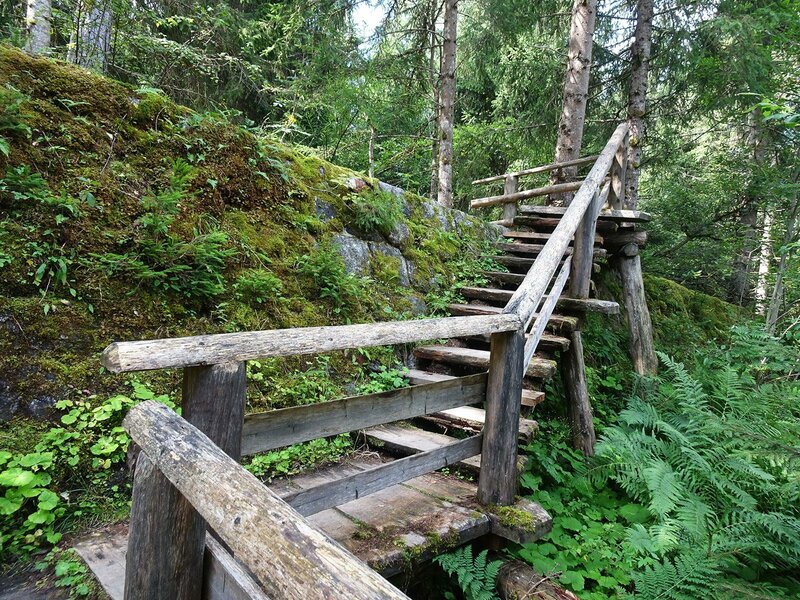
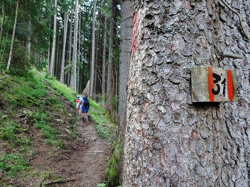
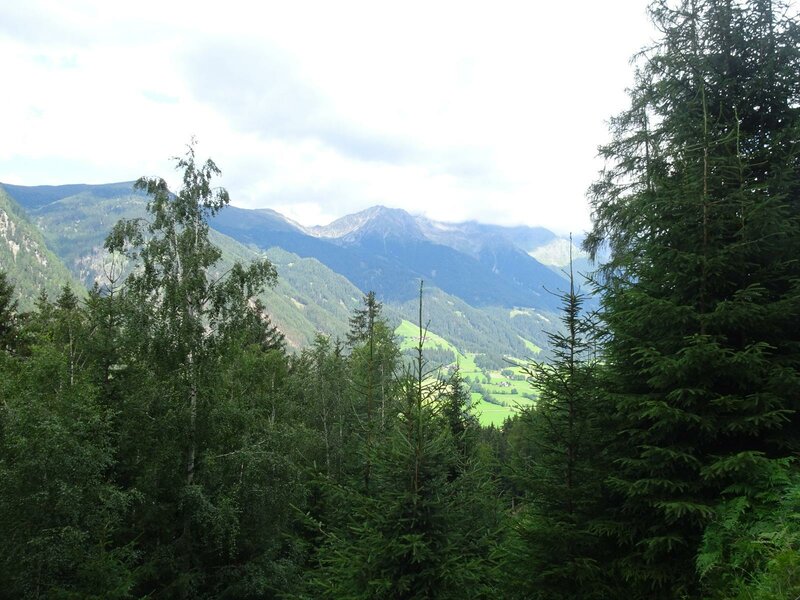
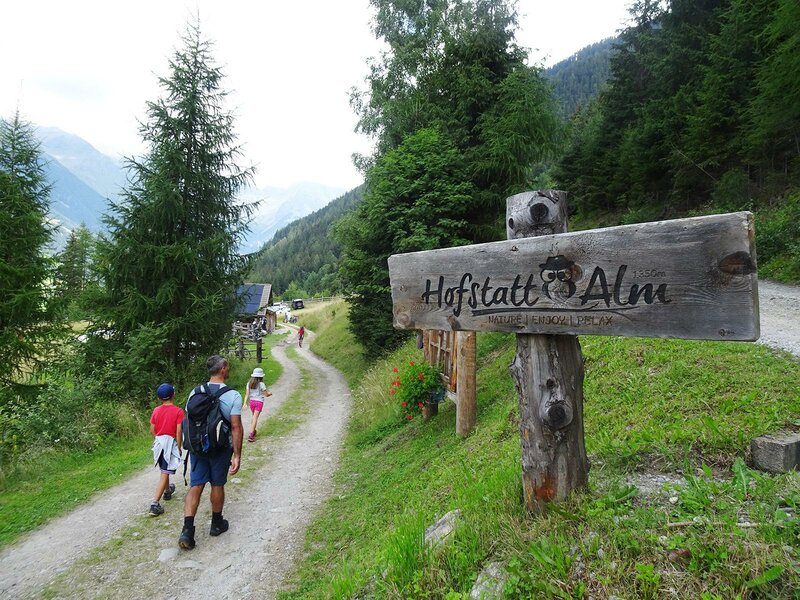
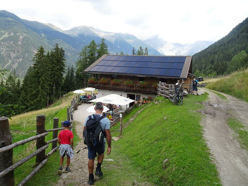
After a crossroads we can either continue along the large forest path we are on now or take the path to our left. We turn left and follow the narrow forest path no. 31 which seems more interesting. Following a steep initial ascent this path rejoins the forest path we walked along before. From here it is less than an hour to the malga Hofstatt (1,330 m a.s.l.) which we reach at lunchtime.
We enjoy a delicious lunch and the children have fun playing. For our return we take the forest path back to the fish pond which we reach after 45 minutes of walking. By the pond there is a fishing equipment rental, as well as a kiosk with a sunny terrace and a playground.
Date of the hike: 7 August 2021
Last updated in: 2026
Author: AD
-
- Starting point:
- Fish Pond Anterselva di Sotto
-
- Overall time:
- 01:30 h
-
- Total route length:
- 4,1 km
-
- Altitude:
- from 1.103 m to 1.333 m
-
- Altitude difference (uphill | downhill):
- +231 m | -231 m
-
- Signposts:
- Hofstatt Alm, 31
-
- Destination:
- Hofstatt Alm mountain hut
-
- Resting points:
- Hofstatt Alm
-
- Track surface:
- Dirt road, forest path
-
- Recommended time of year:
- Jan Feb Mar Apr May Jun Jul Aug Sep Oct Nov Dec
-
- Download GPX track:
- From Anterselva di Sotto to the Malga Hofstatt mountain hut
If you want to undertake this hike, we recommend you to check the weather and trail conditions in advance and on site before setting out.