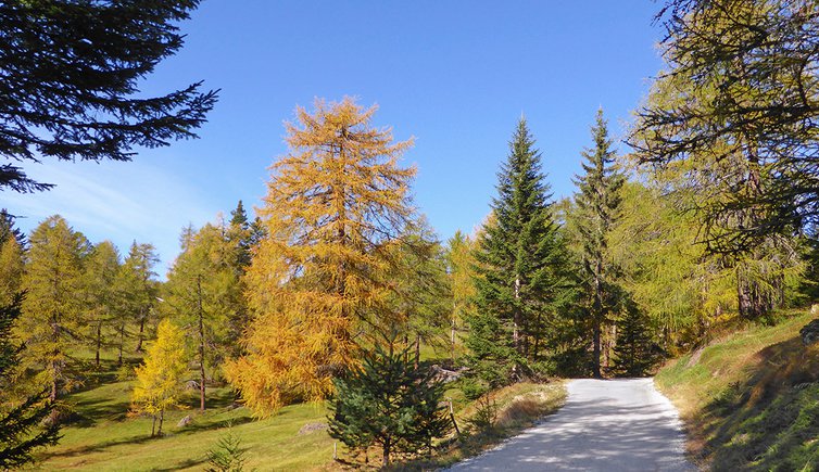
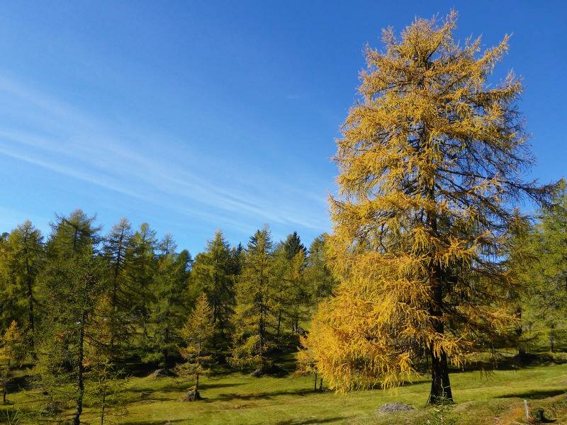
This easy hike across the forest and larch tree meadows of Spinga is particularly beautiful in autumn when the leaves change colour
Image gallery: Hike from Spinga to the Anratter Mountain Hut
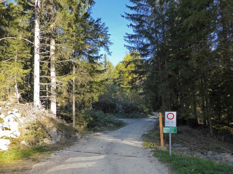
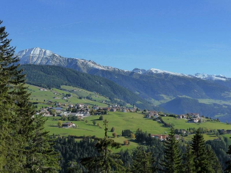
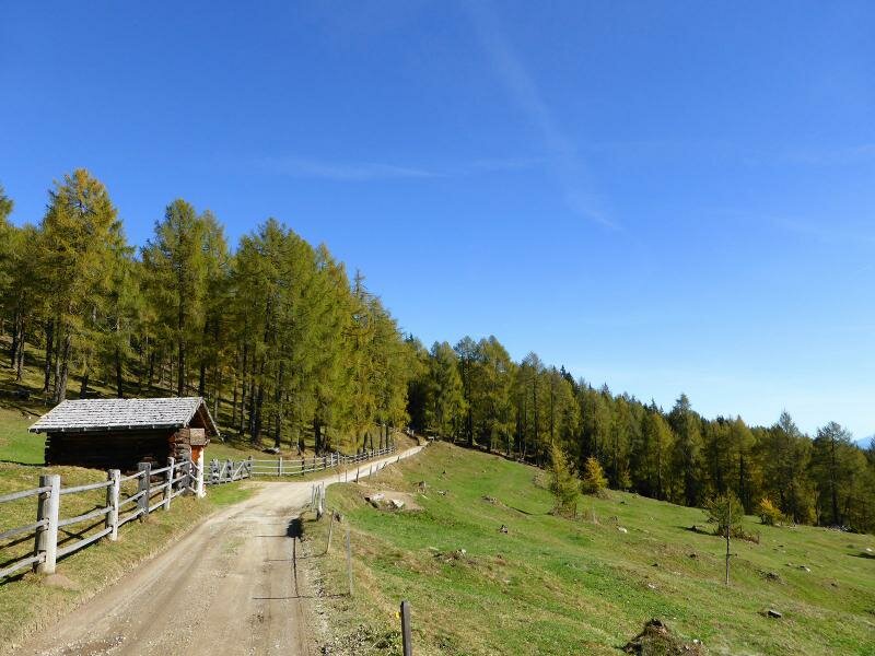
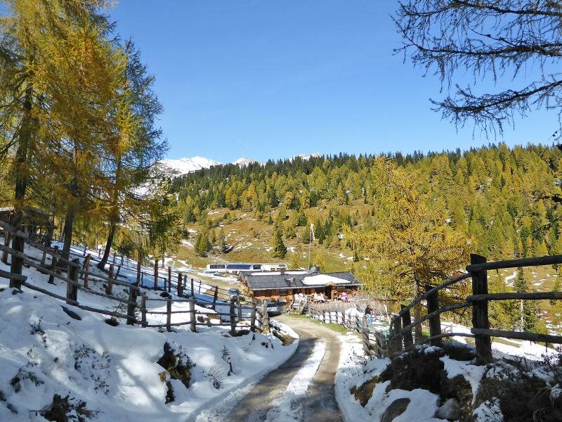

This easy hike can be undertaken in every season of the year. The well-maintained forest path can be made by all hikers (6.5 km long and 550 m of difference in altitude). During this trip we cross several forests and larch tree meadows and stop for a relaxing break at the malga Anratter at 1,815 m a.s.l.
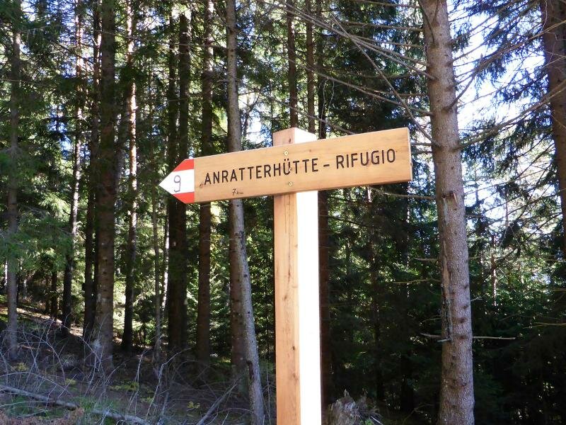
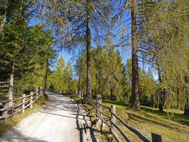
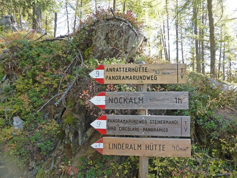
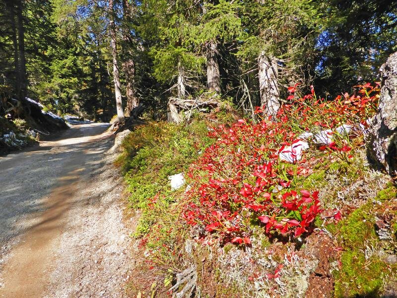
It is already mid-October and the leaves of the larch trees are already turning brown and yellow. Our starting point is the "Wetterkreuz" car park above Spinga where we take path no. 9, a forest road leading directly to the Anratter hut. The path runs slightly uphill until we are at 1,830 m a.s.l. and as we ascend we notice how the vegetation is changing.
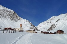
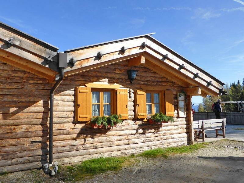
The Anratter hut, one of the most popular malghe of South Tyrol, offers delicious local dishes. After a relaxing break with exquisite food, we return to the valley.
Date of the hike: 13 October 2013
Last updated in: 2026
Author: AT
-
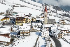
- Starting point:
- Spinga, Wetterkreuz parking space
-
- Overall time:
- 04:00 h
-
- Total route length:
- 12,8 km
-
- Altitude:
- from 1.361 m to 1.831 m
-
- Altitude difference (uphill | downhill):
- +513 m | -513 m
-
- Signposts:
- 9
-
- Destination:
- Anratterhütte mountain hut
-
- Resting points:
- Anratter Hütte
-
- Recommended time of year:
- Jan Feb Mar Apr May Jun Jul Aug Sep Oct Nov Dec
-
- Download GPX track:
- Hike from Spinga to the Anratter Mountain Hut
If you want to undertake this hike, we recommend you to check the weather and trail conditions in advance and on site before setting out.