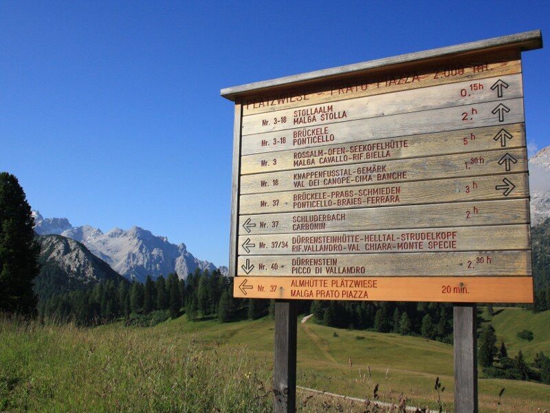
The itinerary to the Vallandro hut is only one of the numerous routes crossing the Prato Piazza high plateau
Image gallery: Hike to the Vallandro mountain hut

Prato Piazza, a high plateau at 2,000 m a.s.l. in the Fanes-Senes-Braies nature park, is embedded among the mountain groups Croda Rossa, Tofane and Monte Cristallo. The area is accessible by car until 10 am thanks to a toll road. After 10 am a shuttle service is available. The return is not limited to time slots. Please note: the traffic lights in the final section of the mountain road need to be observed also by cyclists!
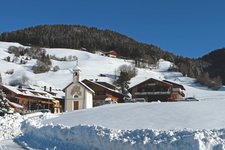
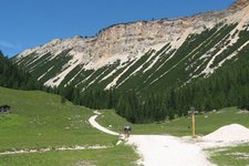
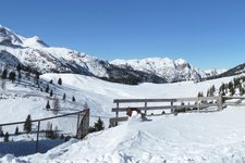
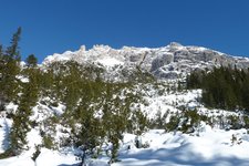
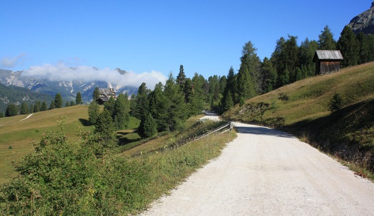
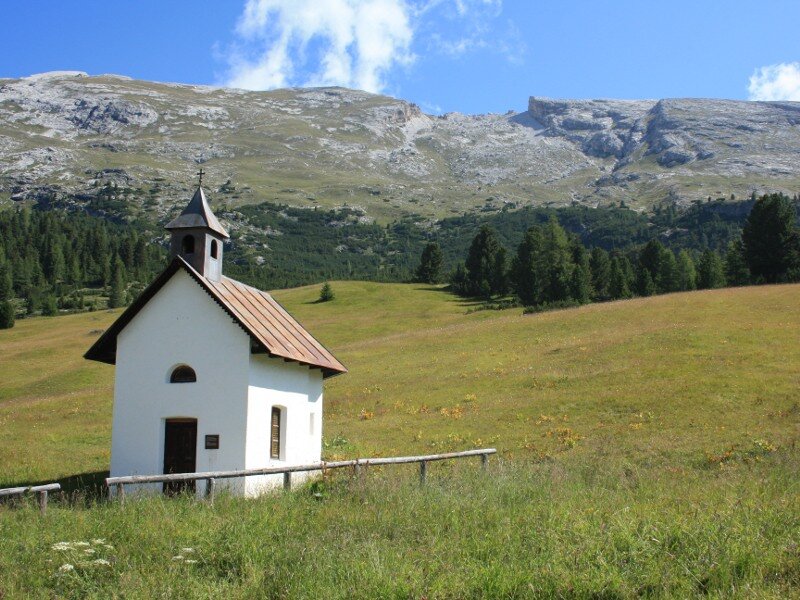
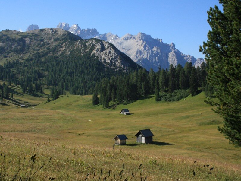
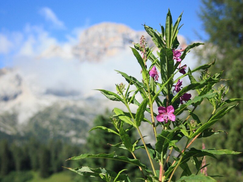
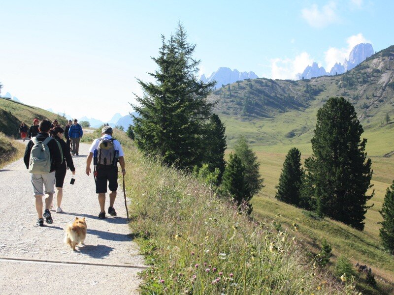
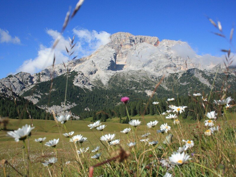
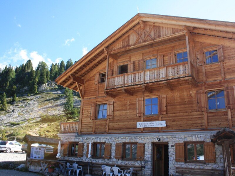
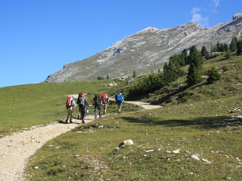
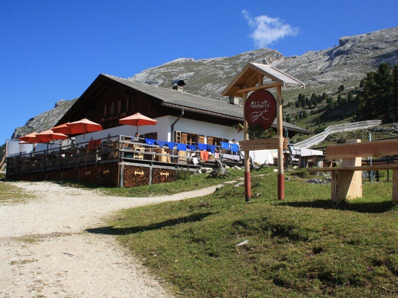
As the common saying goes "the early bird catches the worm", we start our hike early in the morning at the car park Prato Piazza. We encounter a few hikers and enjoy the silence. We take a large path towards southeast which takes us to the mountain restaurant Prato Piazza and its chapel - a perfect starting point for numerous hikes to the surrounding peaks. We continue along path no. 37 past stunning mountain meadows where we admire the Croda Rossa massif (3,146 m a.s.l.), as well as the Tofane and the Monte Cristallo groups. We proceed along the hiking path and having after a short ascent we reach the Vallandro hut at 2,040 m a.s.l. where the ruin of an ancient Austrian castle stands.
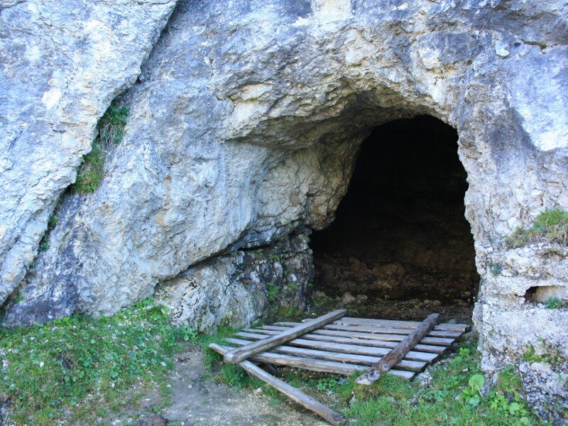
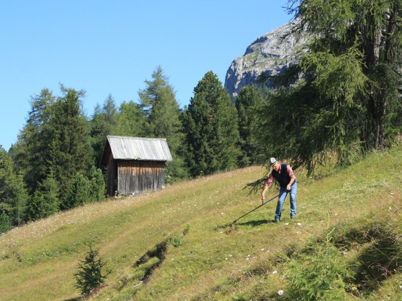
Then we walk along path no. 40A leading slightly uphill along the rock walls. Here you can admire different traces dating back to the World Wars. Shortly after, a path to Monte Specie branches off from our path but we remain on the hiking path. The south-western slope of the Picco di Vallandro, a sought-after hiking destination rises to our right, whereas the Prato Piazza restaurant lies below us on the left. At the foot of Monte Vallandro we descend towards the Hohe Gaisl hotel and the Prato Piazza mountain restaurant, from where we return to the car park.
Undertaken in: August 2011
Last updated in: 2026
Author: BS
-
- Starting point:
- Prato Piazza parking space
-
- Overall time:
- 01:40 h
-
- Total route length:
- 5,1 km
-
- Altitude:
- from 1.971 m to 2.111 m
-
- Altitude difference (uphill | downhill):
- +140 m | -140 m
-
- Route:
- Prato Piazza mountain inn - Vallandro mountain hut - Prato Piazza mountain inn
-
- Signposts:
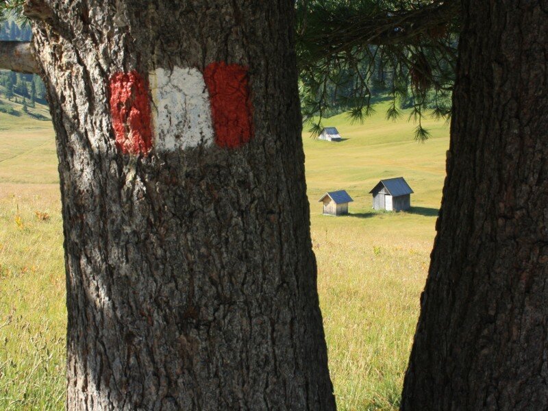
- 37, 40A
-
- Destination:
- Vallandro mountain hut
-
- Resting points:
- Prato Piazza mountain inn - Vallandro mountain hut
-
- Recommended time of year:
- Jan Feb Mar Apr May Jun Jul Aug Sep Oct Nov Dec
-
- Download GPX track:
- Hike to the Vallandro mountain hut
If you want to undertake this hike, we recommend you to check the weather and trail conditions in advance and on site before setting out.