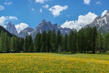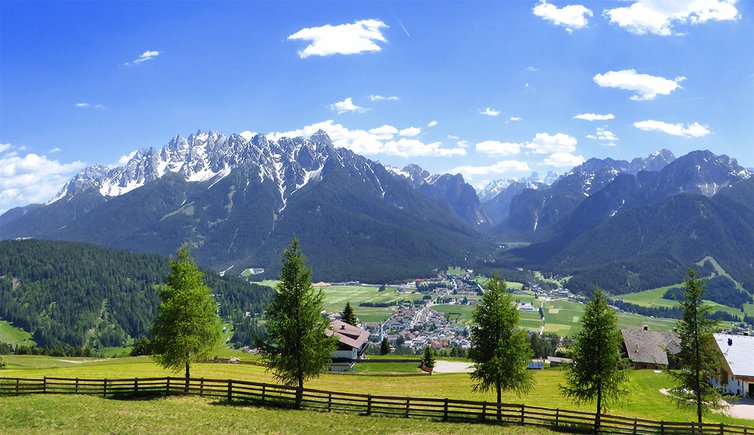
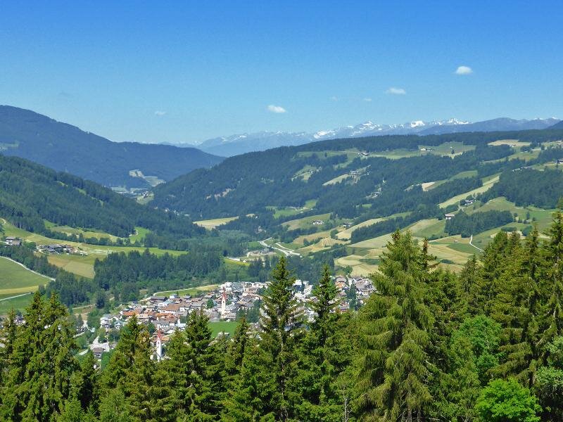
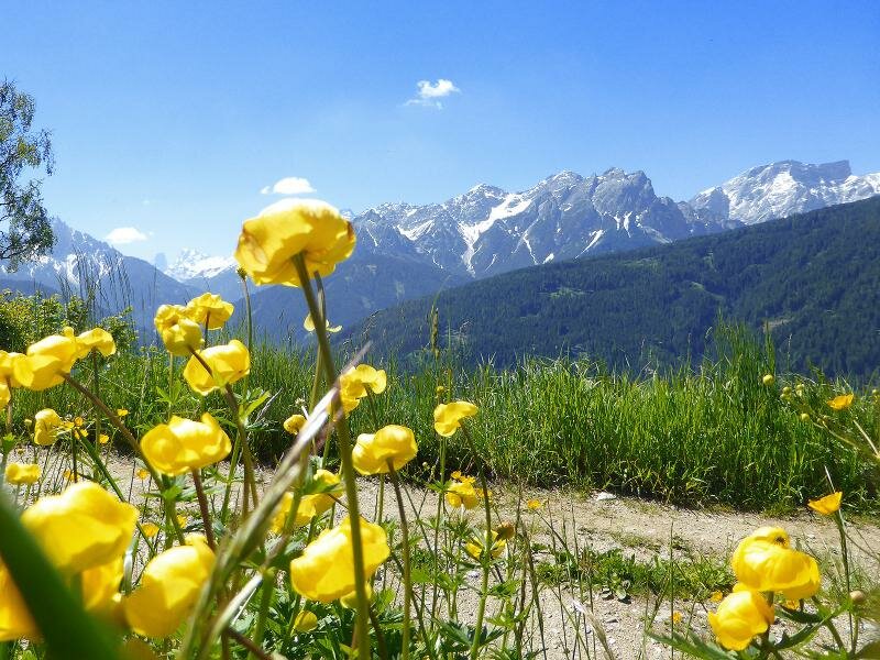
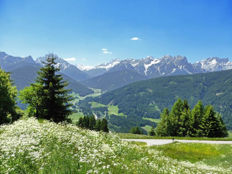
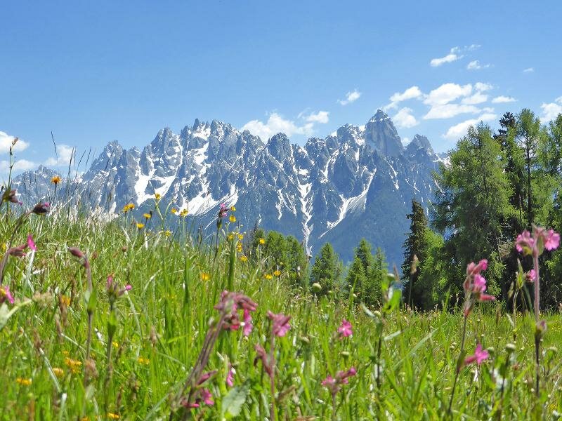
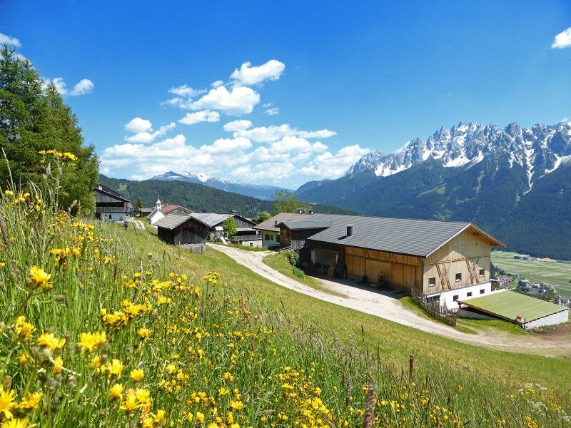
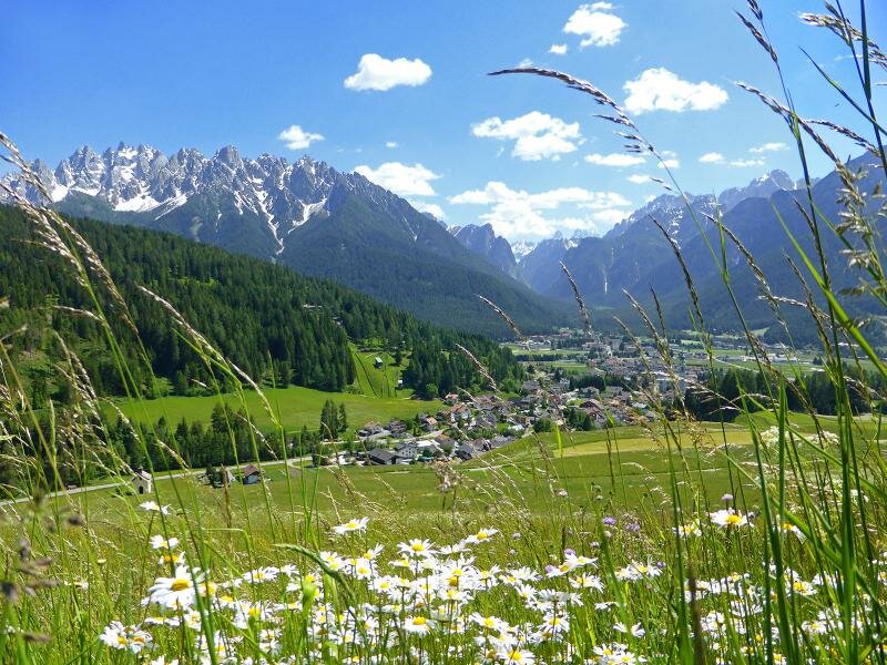
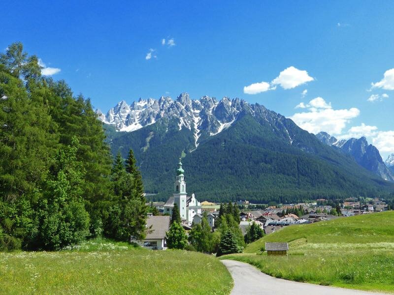
Today’s hike takes us from Monguelfo to Dobbiaco delighting us with a stunning view of the Alta Pusteria and the Sesto and Braies Dolomites
Image gallery: Hike on the Roman Path (Römerweg)
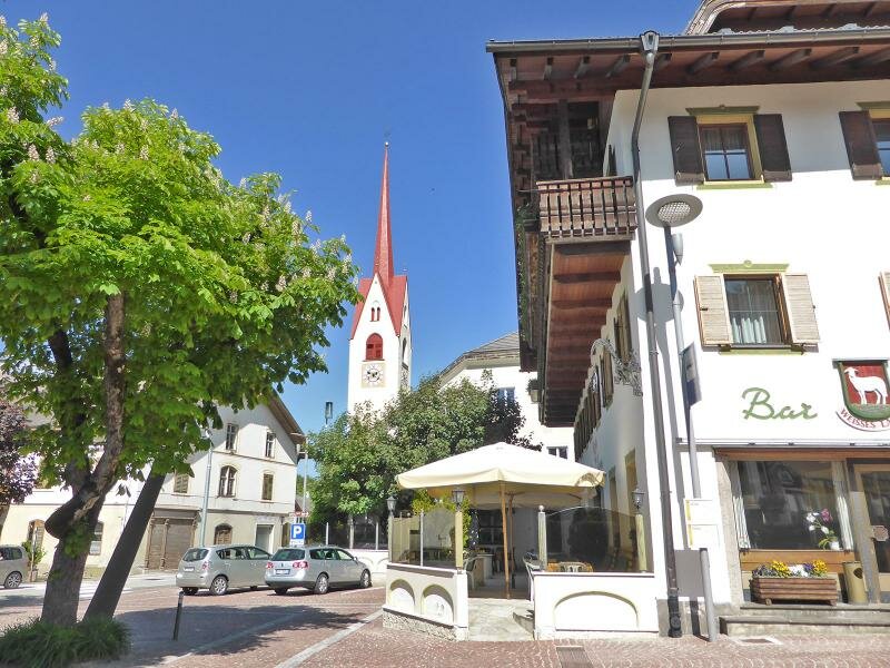
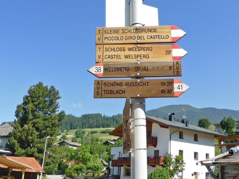
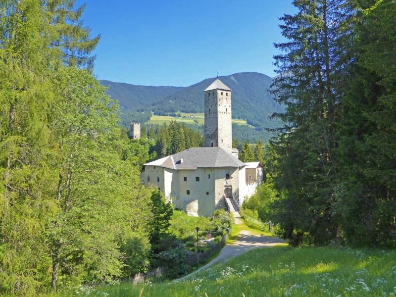
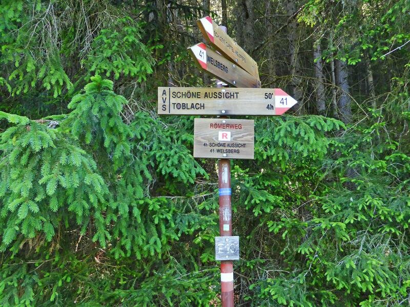

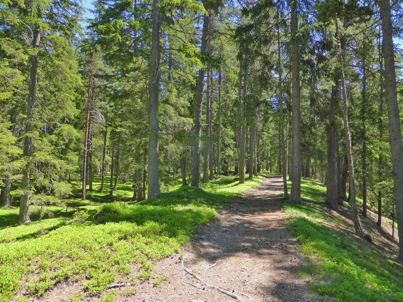
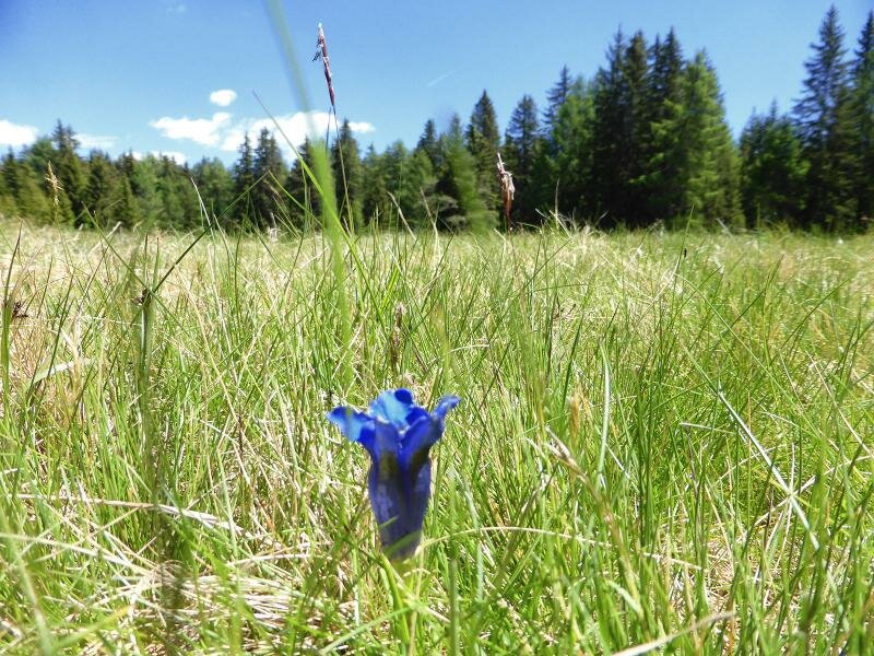
Although not being difficult at all, this approximately 17 km long hike still requires a good fitness level. The Via Romana on the sunny side of the Alta Pusteria initially coincides with Via Castello in Monguelfo (Welsberg in German) which leads past the castle before ascending to the forest across the meadows.
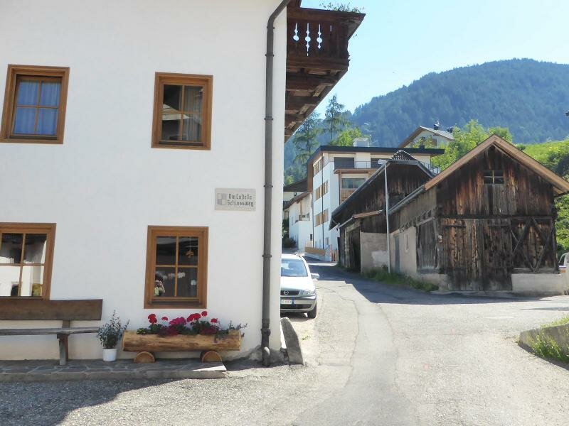
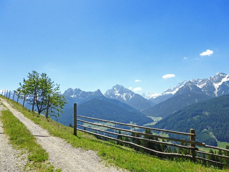
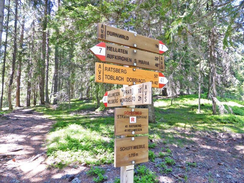
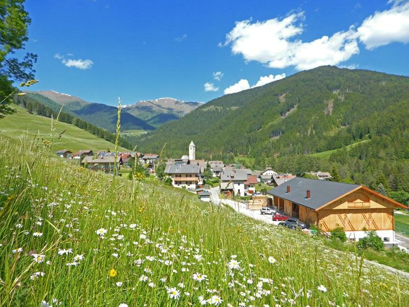
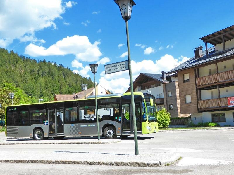
The Montecosta (Eggerberg) is a long mountain ridge between 1,600 and 1,700 m a.s.l. Our path is rather large and easily walkable. We walk past the Hellwiesen meadows and the Ratsberger Wiesen biotope and descend to the mountain village of Monterota (along this section there are some restaurants and farms where you can stop for your lunch break). We cross the meadows at the entrance to the Valle San Silvestro and arrive in Dobbiaco where the Via Romana ends. From here you can either take the bus or the regional train to return to Monguelfo.
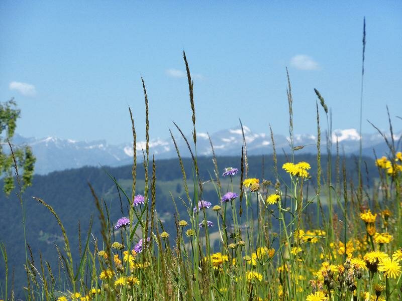
This wonderful hike delighted us with a truly impressive natural landscape characterised by verdant forests, blooming meadows and an impressive view of the Sesto and Braies Dolomites. As some of the itinerary's sections are exposed to the sun, we recommend not undertaking this trip on the hottest days.
Date of the hike: 8 June 2014
Last updated in: 2026
Author: AT
-
- Starting point:
- Monguelfo (village centre)
-
- Overall time:
- 05:00 h
-
- Total route length:
- 17,2 km
-
- Altitude:
- from 1.086 m to 1.825 m
-
- Altitude difference (uphill | downhill):
- +774 m | -626 m
-
- Route:
- Monguelfo - Castle Path - Montecosta - Hellwiesen meadows - Monterota Meadows - Monterota - Valle San Silvestro - Dobbiaco
-
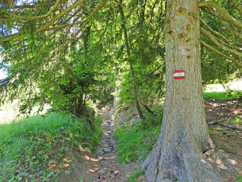
- Signposts:
- 35, Römerweg, 41, 60, 41
-
- Destination:
- Dobbiaco
-
- Resting points:
- Ratsberg, Gostnerhof
-
- Recommended time of year:
- Jan Feb Mar Apr May Jun Jul Aug Sep Oct Nov Dec
-
- Download GPX track:
- Hike on the Roman Path (Römerweg)
If you want to undertake this hike, we recommend you to check the weather and trail conditions in advance and on site before setting out.