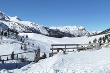
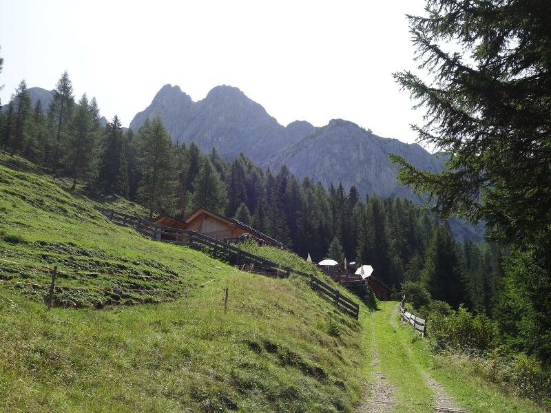
This easy hike leads us to the small mountain hut at 1,790 m a.s.l., below the peaks of the Braies Dolomites
Image gallery: Hike from Villabassa to the Putzalm mountain hut
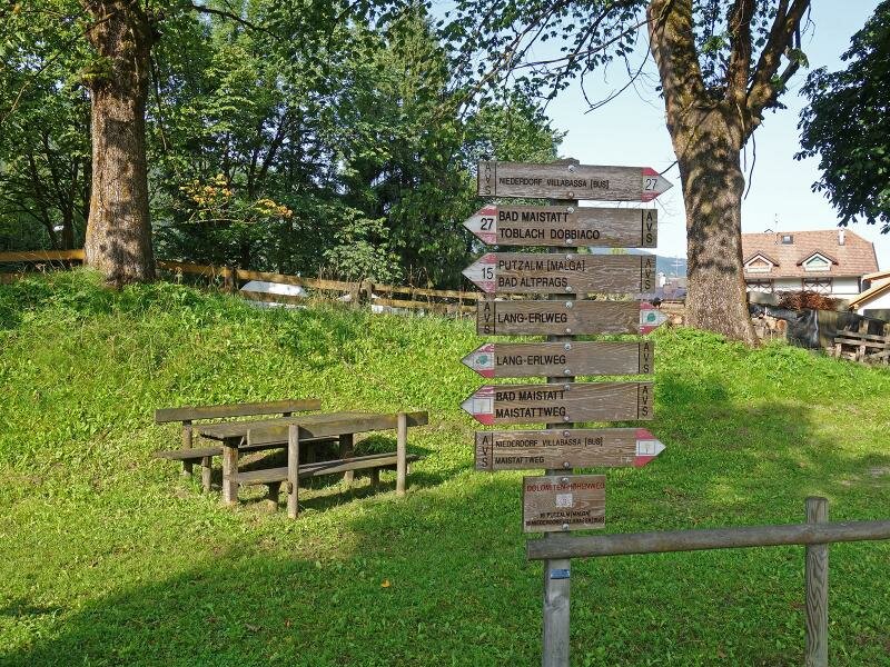
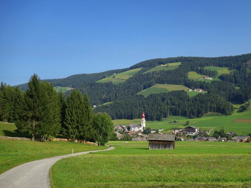
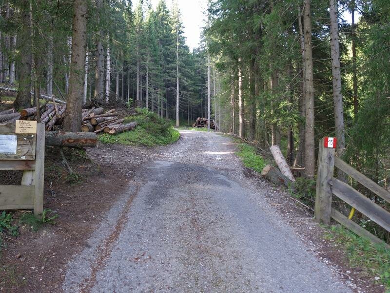
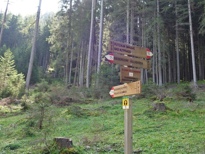
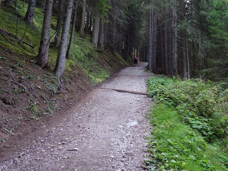
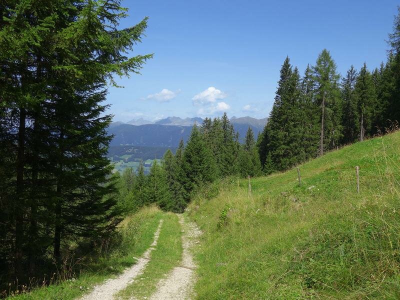
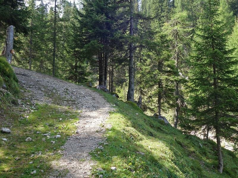
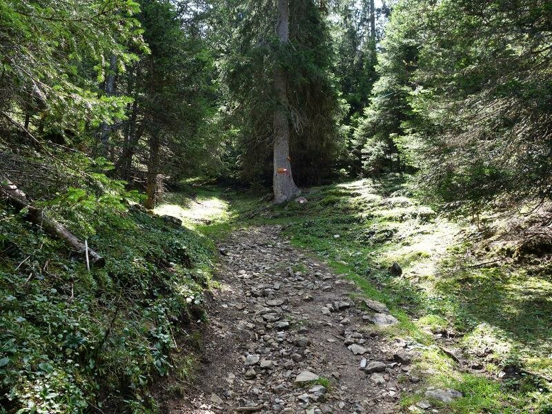
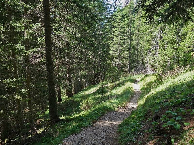
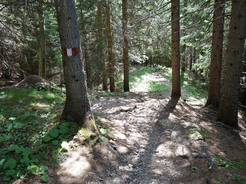
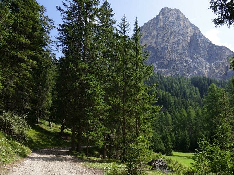
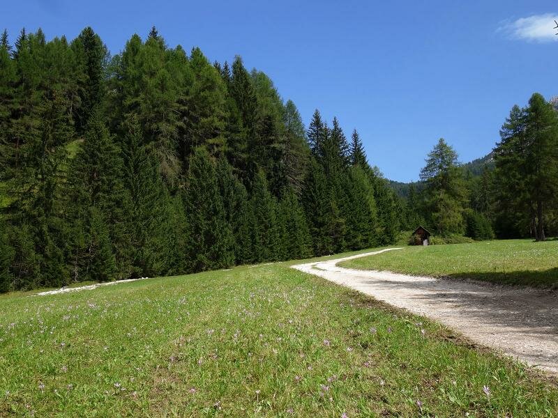
The starting point of today's hike is the centre of Villabassa (1,150 m a.s.l.). Initially, we follow the signposts of path no. 15 and the Alta Via delle Dolomiti 3 towards south. A field path crosses the meadows of the valley before arriving at a forest. The crossroads from where the path to malga Putzalm branches off, is situated right after a bridge over the Rio Grigio. We ascend along an asphalt path which soon turns into a gravelled road. The Alta Via delle Dolomiti 3 runs slightly uphill through the valle Grautal.
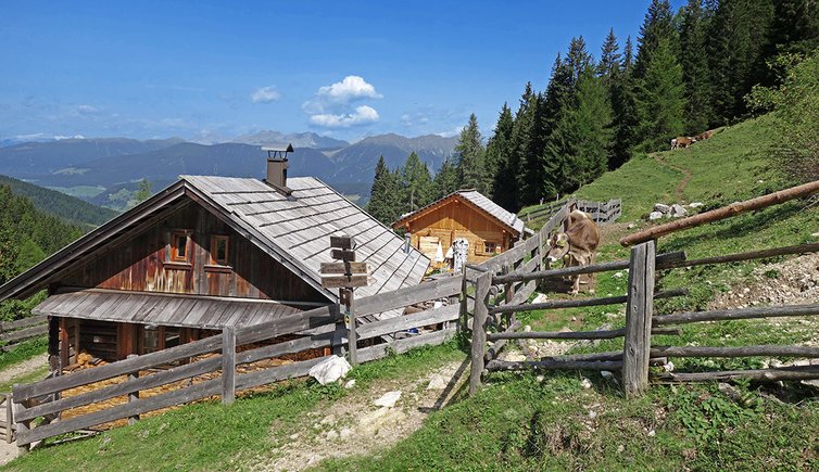
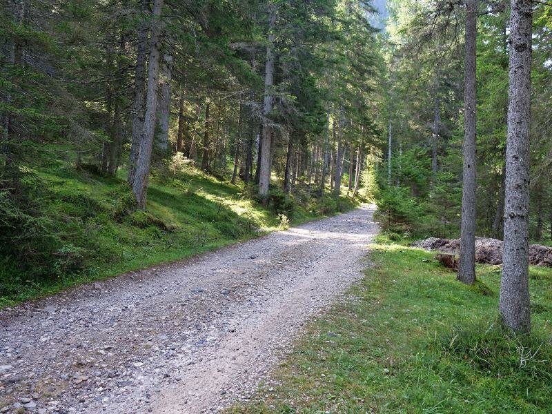
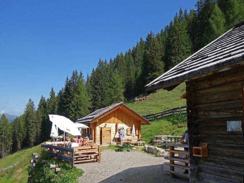
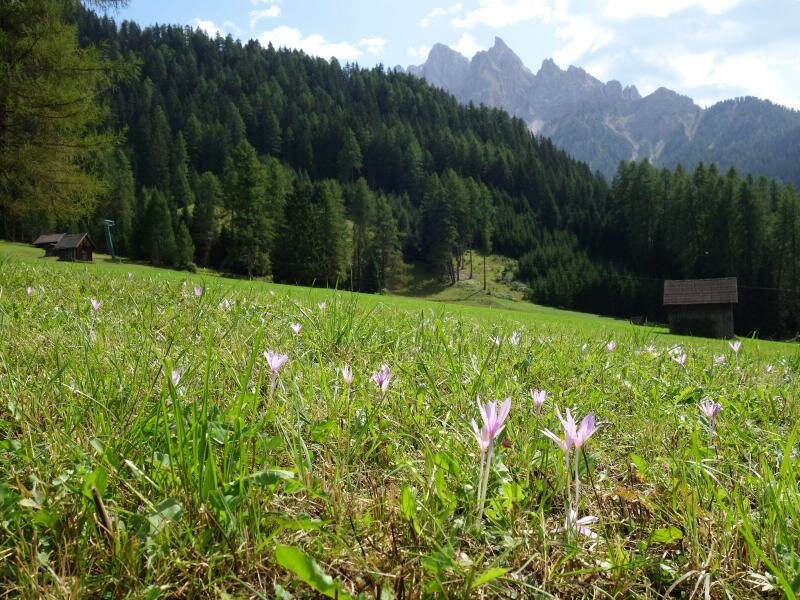
The rather easy forest path is characterised by some steep sections. After a 5-km walk we reach the meadows of malga Putzalm at 1,790 m a.s.l. where we enjoy their delicious local dishes.
After our lunch break we opt for an alternative route back to our starting point. We extend our hike to passo Buchsenriedl (1,810 m a.s.l., signpost no. 15) and descend to Braies Vecchia from where we take the bus back to Villabassa.
Date of the hike: 27 August 2017
Last updated in: 2026
Author: AT
-
- Starting point:
- Villabassa (village centre)
-
- Overall time:
- 02:45 h
-
- Total route length:
- 7,0 km
-
- Altitude:
- from 1.152 m to 1.799 m
-
- Altitude difference (uphill | downhill):
- +647 m | -352 m
-
- Route:
- Villabassa - Alta Via of the Dolomites 3 - Grautal valley - Putzalm mountain hut - Buchsenriedl saddle - Braies Vecchia
-
- Signposts:
- 15, AV 3
-
- Resting points:
- Putzalm
-
- Recommended time of year:
- Jan Feb Mar Apr May Jun Jul Aug Sep Oct Nov Dec
-
- Download GPX track:
- Hike from Villabassa to the Putzalm mountain hut
If you want to undertake this hike, we recommend you to check the weather and trail conditions in advance and on site before setting out.