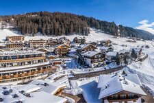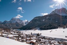
After two challenging stages, we deserve a less demanding stage: the last and so-called “wellness stage” of this trip in the area of the Sesto Dolomites. This 35-km long stage with 800 m of elevation gain connects Padola in Comelico Superiore to Sesto, San Candido and Dobbiaco in South Tyrol
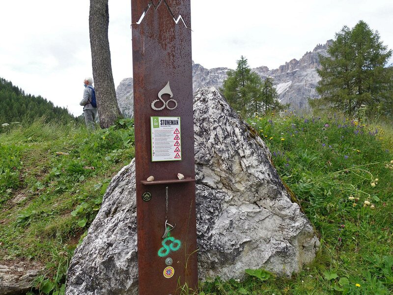
Image gallery: Stoneman Trail, third stage: Croda Rossa meadows
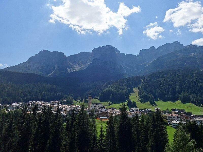

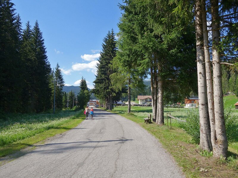
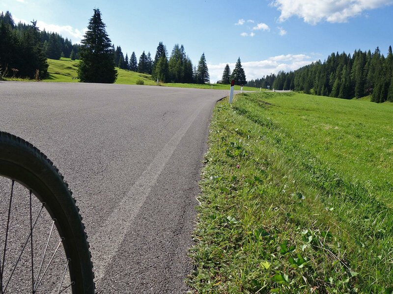
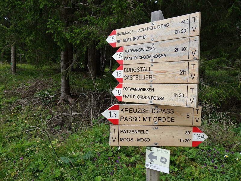
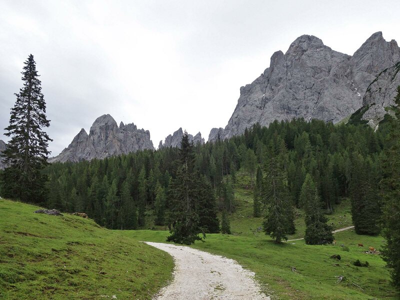
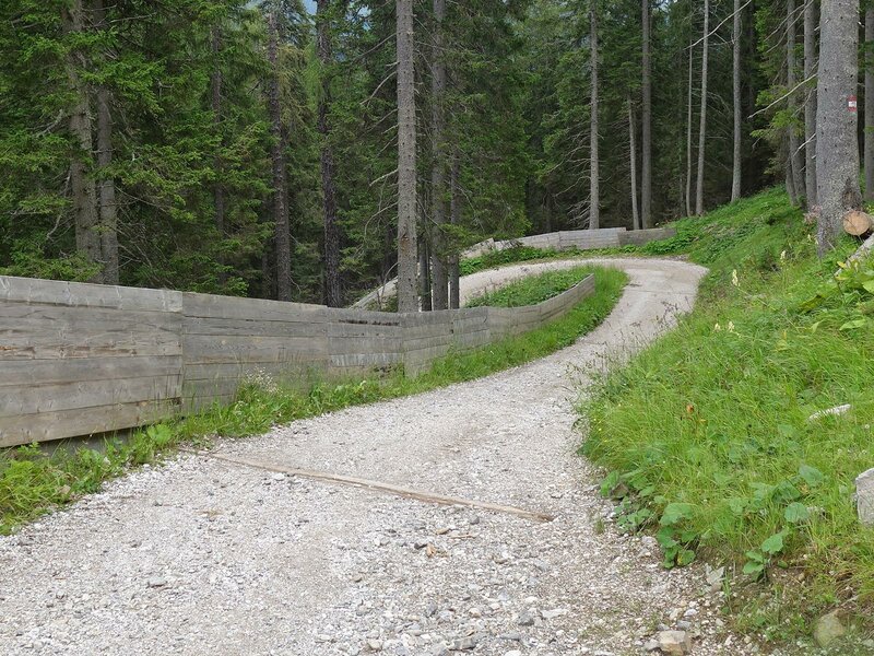
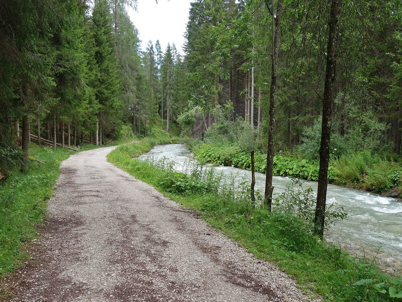
In Padola (1,200 m) we take via Valgrande. This asphalted road runs along meadows and later across the forests of the valley towards the Monte Croce pass. At about 1,350 m s.l.m. we reach the crossroads of the Rifugio Lunelli mountain hut where we turn right (towards passo Tre Croci) and continue on a gravel path up to the highest bend of the Strada Statale Carnica, then we cycle along this road for almost one kilometre, until we arrive at the pass (1,640 m).
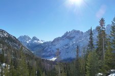
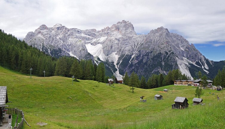
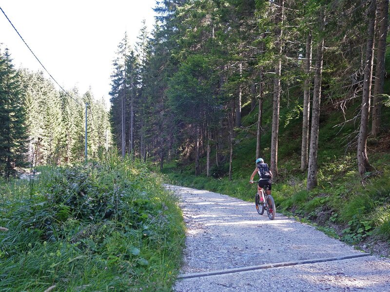
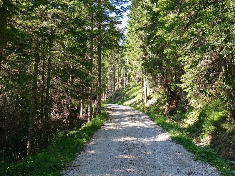
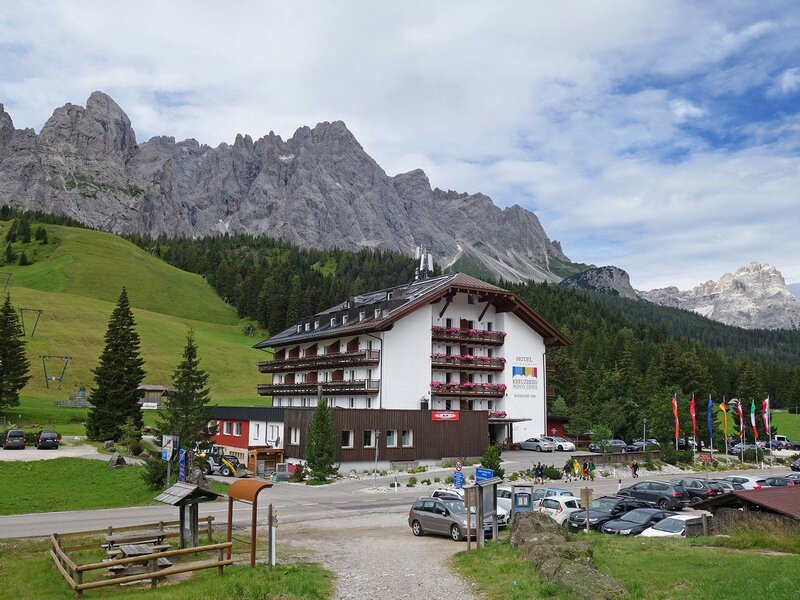
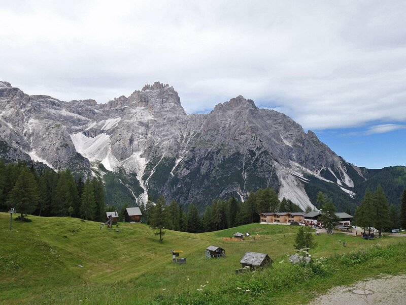
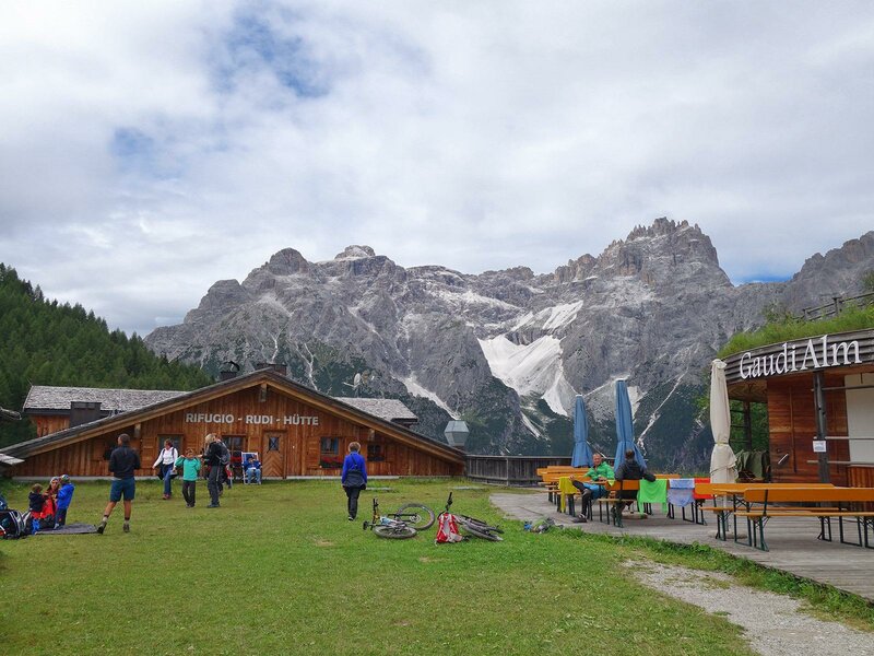
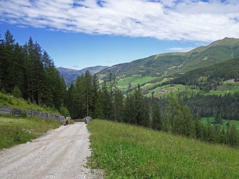
Immediately after Monte Croce pass, we turn left and take the forest road "Skiweg Unesco". We climb the magnificent coniferous forests up to the meadows under the Croda Rossa di Sesto (1,930 m), where also the mountain station of some ski lifts lies. Furthermore, there are also some mountain huts and refreshment areas, such as the Prati di Croda Rossa (Rotwandwiesenhütte) mountain hut and the Rudi mountain hut.
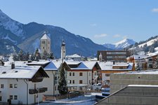
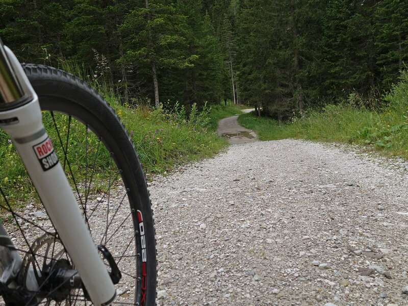
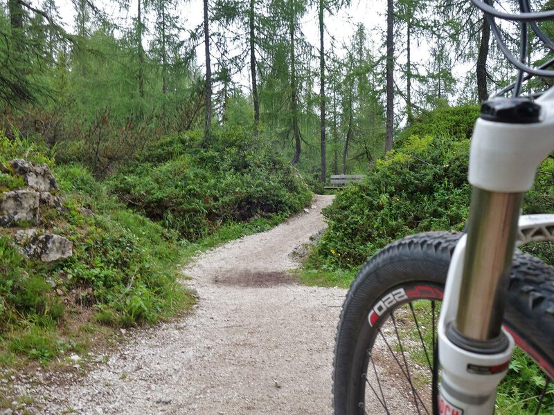
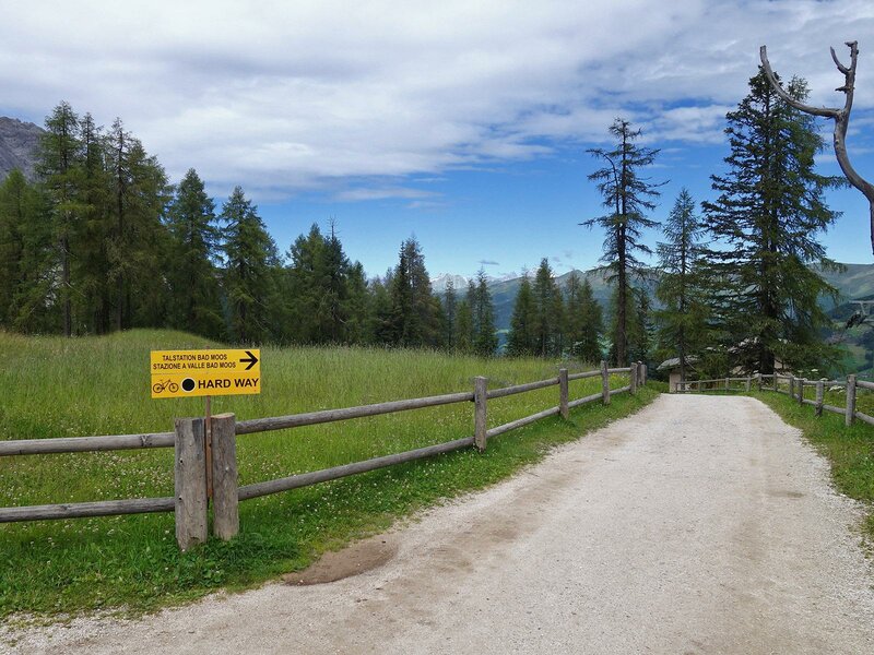
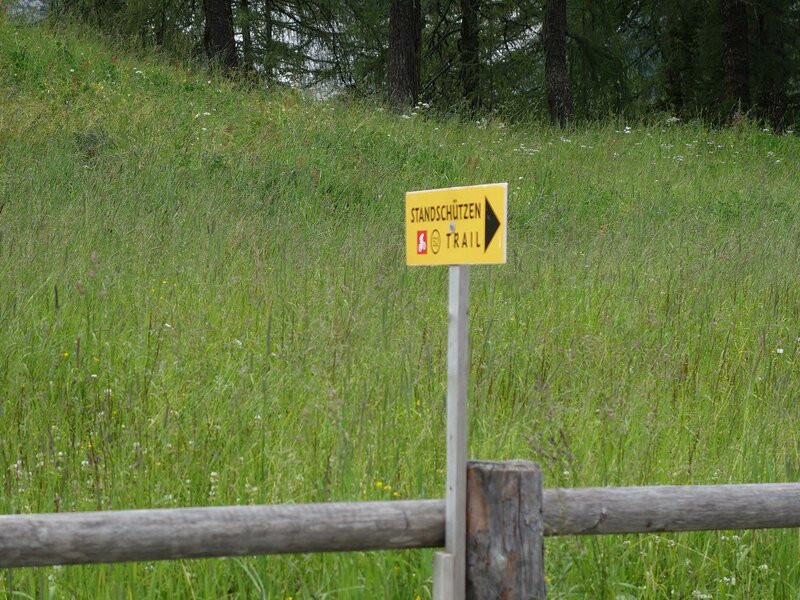
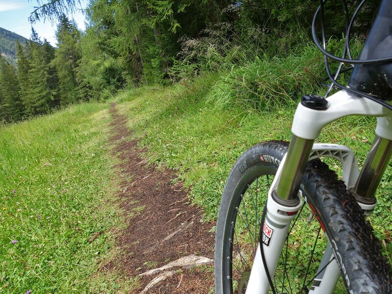
From here on, the road descends. The Stoneman-Trail runs along path no. 15 that ends at a mountain road at 1,570 m. Having arrived at the crossroads, we recommend you to continue cycling on the gravel road, or as an alternative, you can take path no. 15 and descend along a black MTB trail in the forest, a technical downhill ride for experts. Both the itineraries meet up at Bad Moos, at the entrance of the Val Fiscalina valley (Fischleintal). From here, we take the cycling itinerary of Sesto (Sextner Fahrradroute) which runs along in part on gravel roads and in part on asphalted secondary roads from Sesto to San Candido, a village where you can take the cycle path to Dobbiaco, the final destination of this itinerary and today's stage.
Date of the MTB-Tour: 8 August 2020
Last updated in: 2026
Author: AT
-
- Starting point:
- Padola
-
- Overall time:
- 03:45 h
-
- Total route length:
- 35,7 km
-
- Altitude:
- from 1.173 m to 1.926 m
-
- Altitude difference (uphill | downhill):
- +804 m | -794 m
-
- Route:
- Padola - Valgrande - Passo Monte Croce di Comelico - Prati di Croda Rossa (Rotwand Wiesen) - Bad Moos - Sesto - San Candido - Dobbiaco
-
- Signposts:
- Stoneman Trail (Logo)
-
- Destination:
- Dobbiaco
-
- Resting points:
- Passo Monte Croce, Rudi hut, Rotwandwiesen mountain hut
-
- Track surface:
- 57% gravel road, 2% single trail, 41% asphalt
-
- Recommended time of year:
- Jan Feb Mar Apr May Jun Jul Aug Sep Oct Nov Dec
-
- Download GPX track:
- Stoneman Trail, third stage: Croda Rossa meadows
If you want to do this tour, we suggest you to check the weather and trail conditions in advance and on site before setting out.