This 19-km long hike with a difference in altitude of 1,300 m is suitable only for trained hike
Image gallery: From Prato alla Drava to the Pausa Alta summit
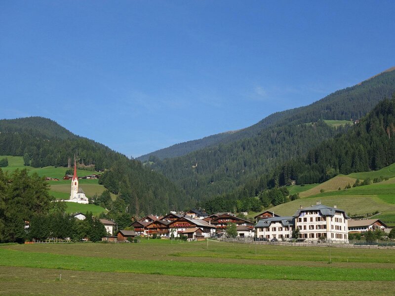
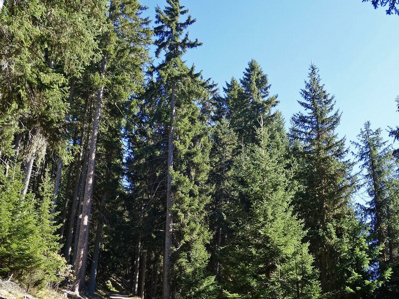
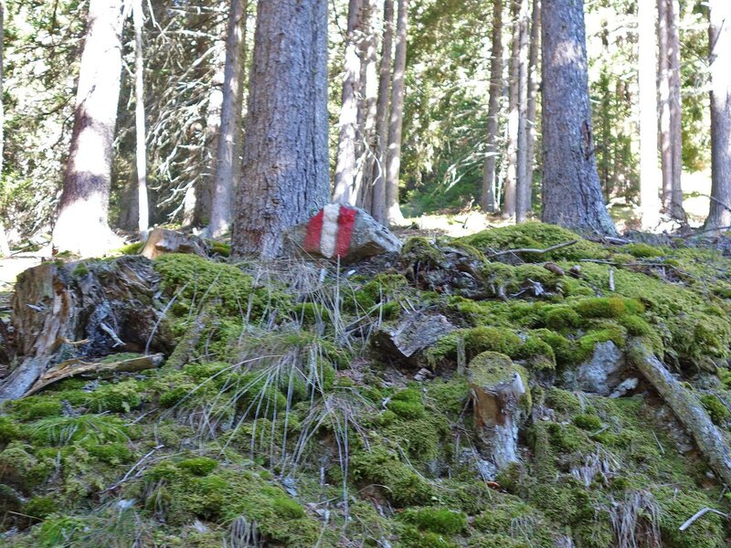
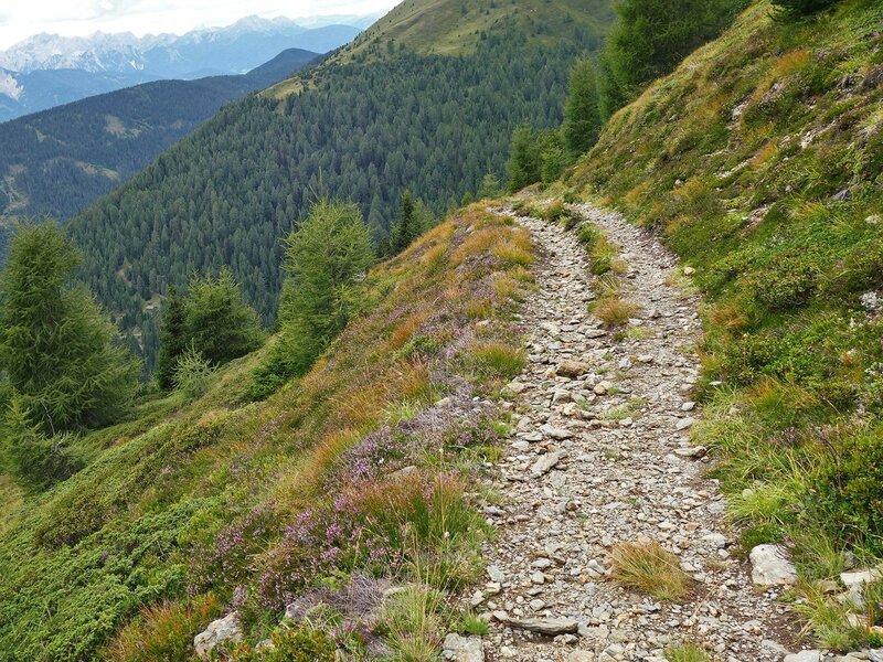
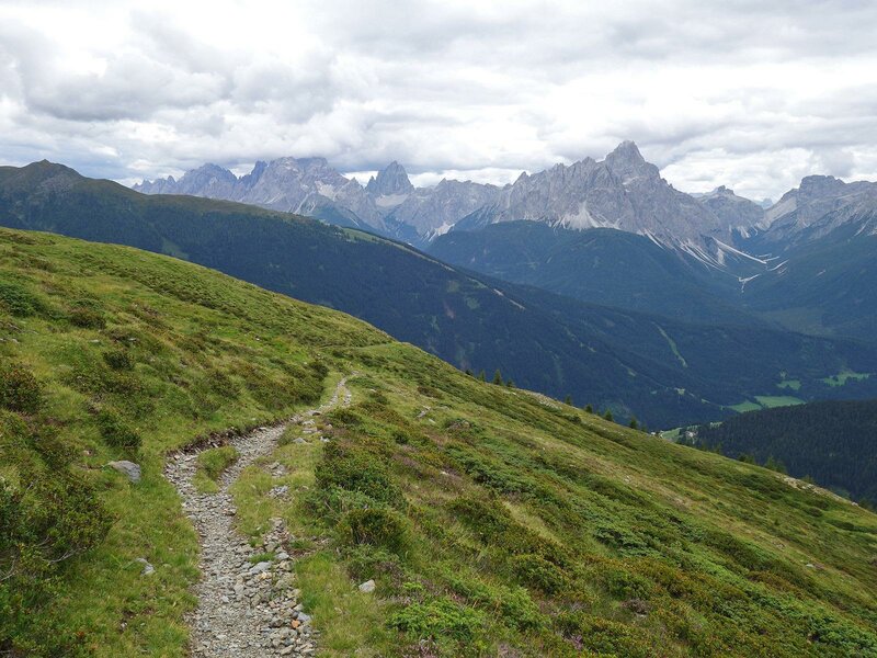
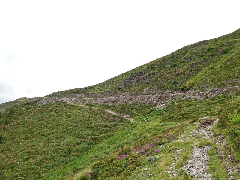
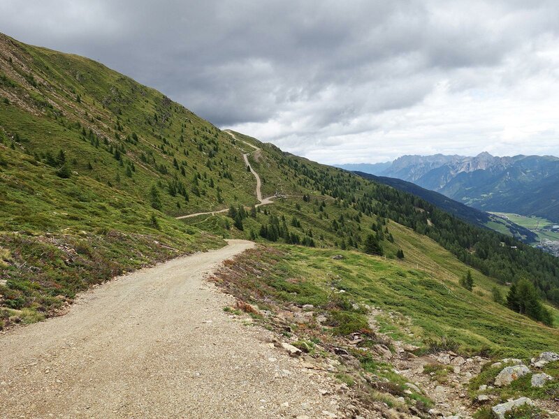
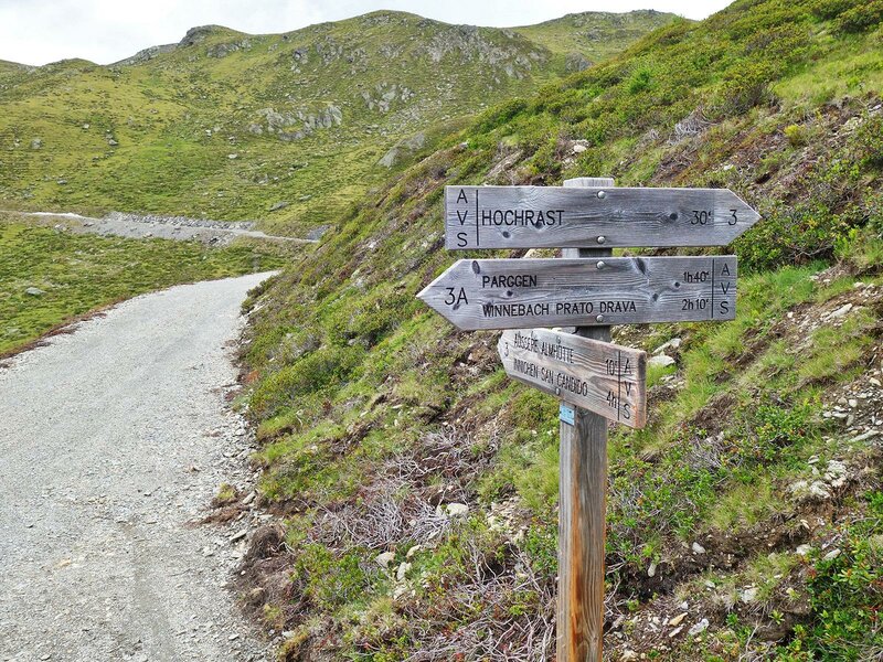
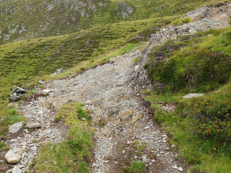
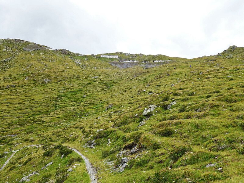
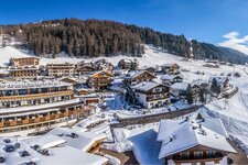
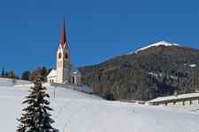
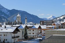
The marvellous village of Prato alla Drava, the last Italian village before the Austrian border, is the starting point of our hike to the Pausa Alta summit. In the village centre we initially take via Raiderberg (path no. 3A) which takes us to some mountain farms on the slope. At the Reiden-Höfe farms an asphalted forest path ascending to 1,900 m a.s.l. branches off on the right. The landscape changes as we ascend: the forest is soon replaced by steep mountain meadows. The narrow path no. 3A climbs to an altitude of 2,200 m a.s.l. where it joins a meadow path to the Äußere Alm hut.
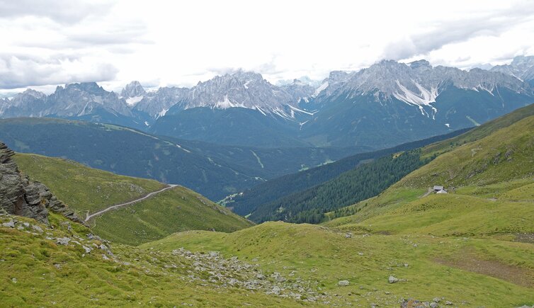
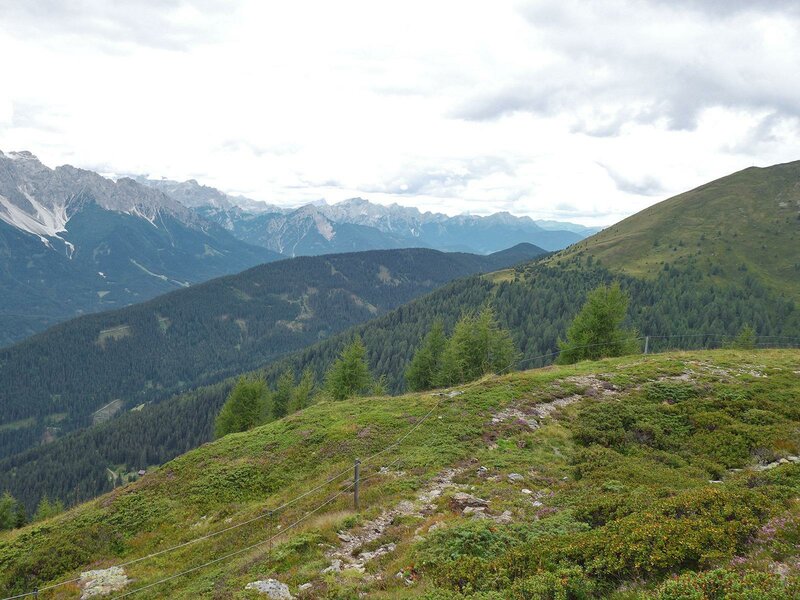
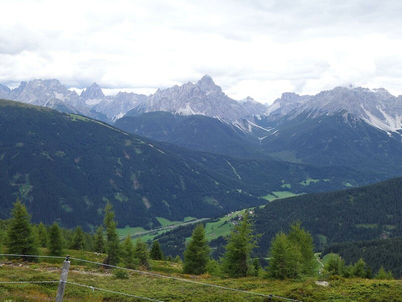
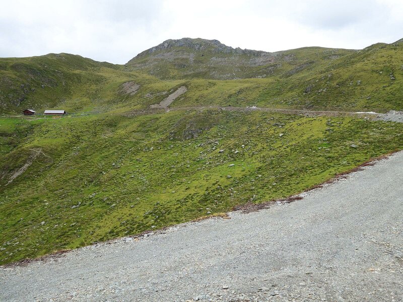
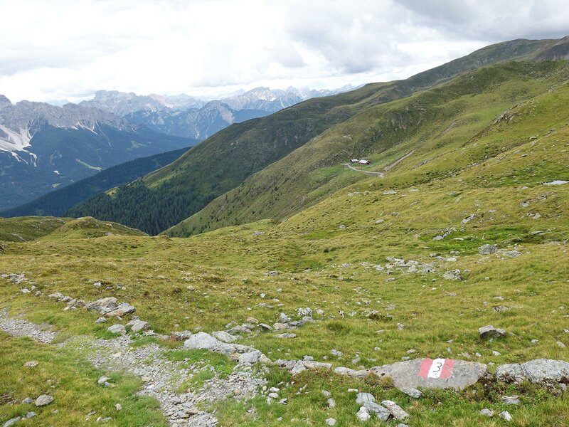
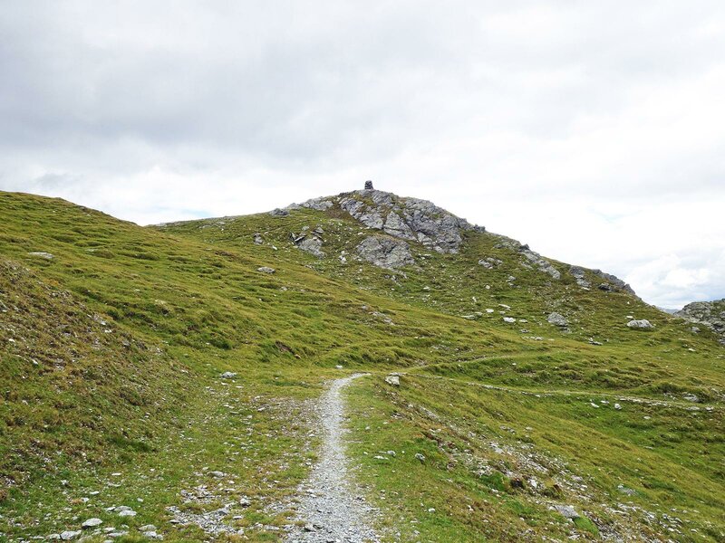
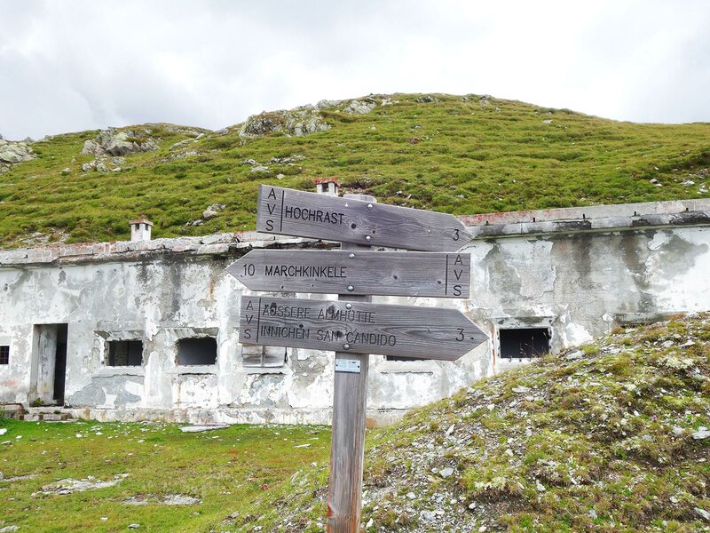
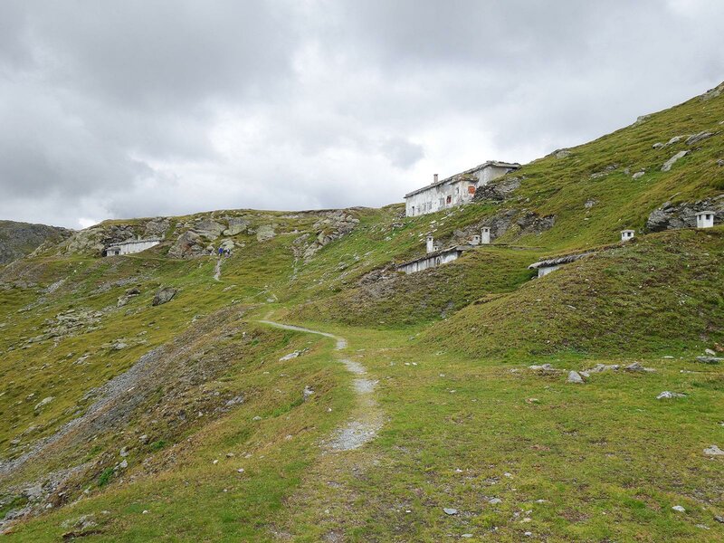
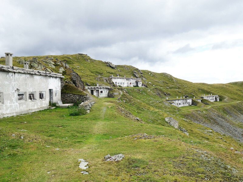
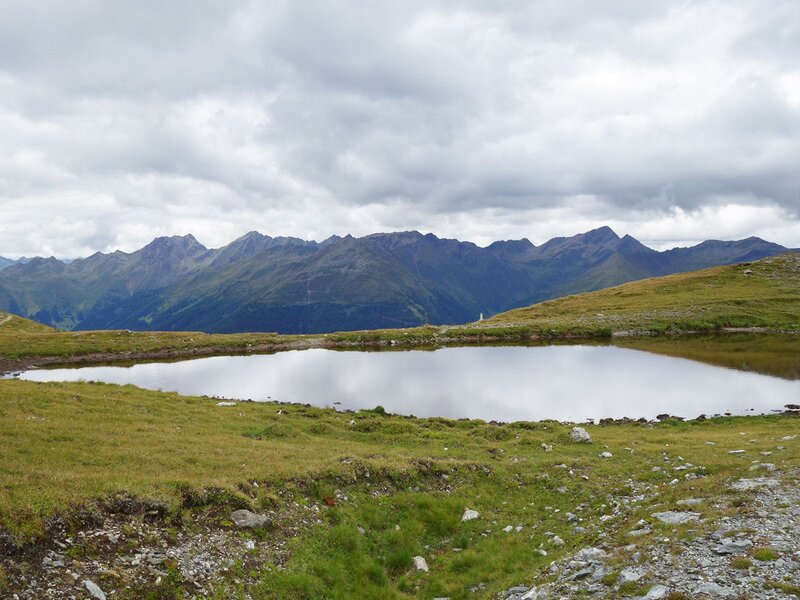
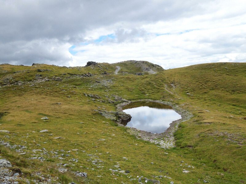
After a right bend we can either choose path no. 3 which leads directly to the Pausa Alta peak or the longer and easier path passing malga Äußere Alm. At the Pausa Alta peak at 2,435 m a.s.l. we enjoy an impressive view of Monte Elmo and the Sesto Dolomites in the south, the Gailtaler Alpen in the east and the Villgrater Berge in the north. The Pausa Alta peak is a border mountain where border monuments from World War 1 are still visible. During the war the buildings were inhabited by Italian soldiers who defended their country against the Austrians. Today, this almost invisible border is crossed by the Bonner Höhenweg. About 200 metres northwest of the peak the sky is reflected by the small mountain lakes.
We recommend starting this hike early. The descent to the valley can be completed in about 2-3 hours. Some rather long sections of the path are completely exposed to the sun. The Bonner Höhenweg directly connects the Pausa Alta peak to the mountain station of the Thurntaler cable car and the peak to the valley and the village of Panzendorf.
Date of the hike: 15 August 2018
Last updated in: 2026
Author: AT
-
- Starting point:
- Winnebach (Prato alla Drava)
-
- Overall time:
- 06:45 h
-
- Total route length:
- 18,9 km
-
- Altitude:
- from 1.144 m to 2.435 m
-
- Altitude difference (uphill | downhill):
- +1291 m | -1291 m
-
- Signposts:
- Raiderbergweg, no. 3A, no. 3 (Hochrast)
-
- Destination:
- Hochrast (Pausa Alta)
-
- Recommended time of year:
- Jan Feb Mar Apr May Jun Jul Aug Sep Oct Nov Dec
-
- Download GPX track:
- From Prato alla Drava to the Pausa Alta summit
If you want to undertake this hike, we recommend you to check the weather and trail conditions in advance and on site before setting out.