The 2,507 m high Piz da Peres opposite Mt Plan de Corones in the Braies Dolomites offers great panoramic views
Image gallery: Mountain tour to the Piz da Peres
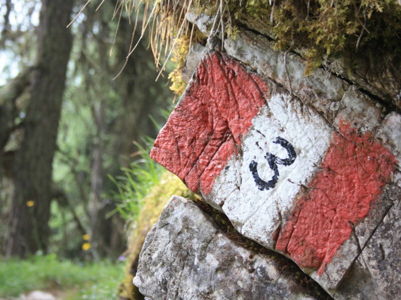
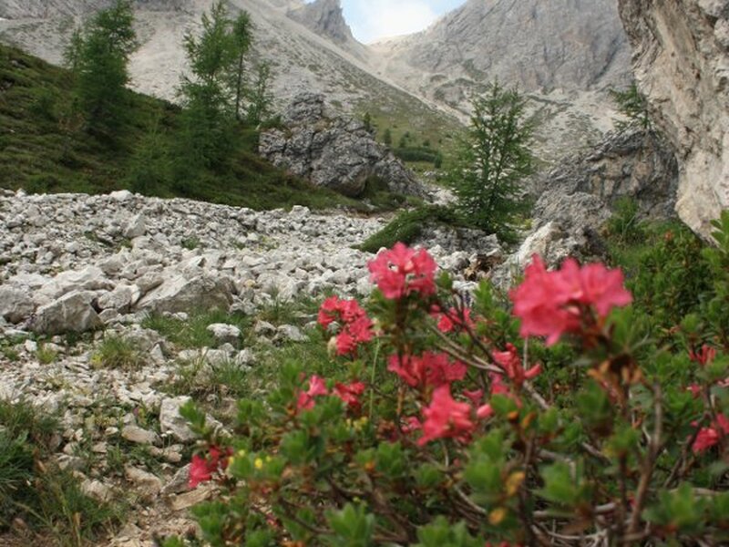

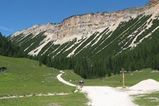
This mountain hike takes us to the panoramic peak opposite the Plan de Corones in the Fanes-Senes-Braies nature park. From the artificial lake at Passo Furcia (1,758 m a.s.l.) we head towards the restaurants on passo Furcia before following path no. 3 on the left towards the Piz da Peres. We walk eastwards along a forest road and then along a steep slope until we reach a sand pit. We proceed at the foot of the northern slope of the Piz da Peres along the well-maintained path no. 3 which is characterised by some narrow sections.
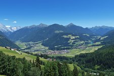
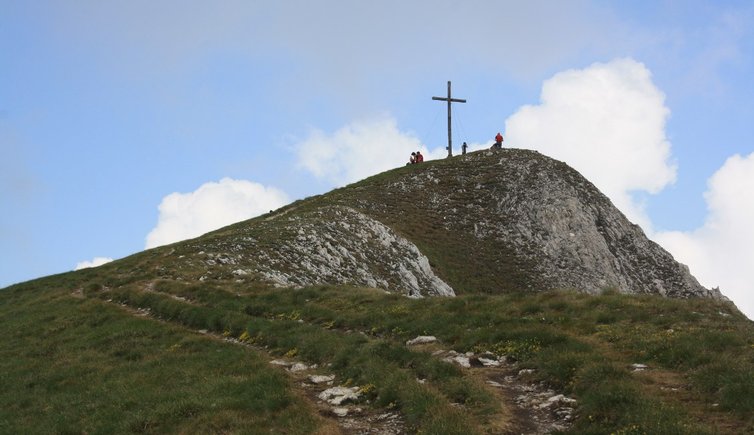
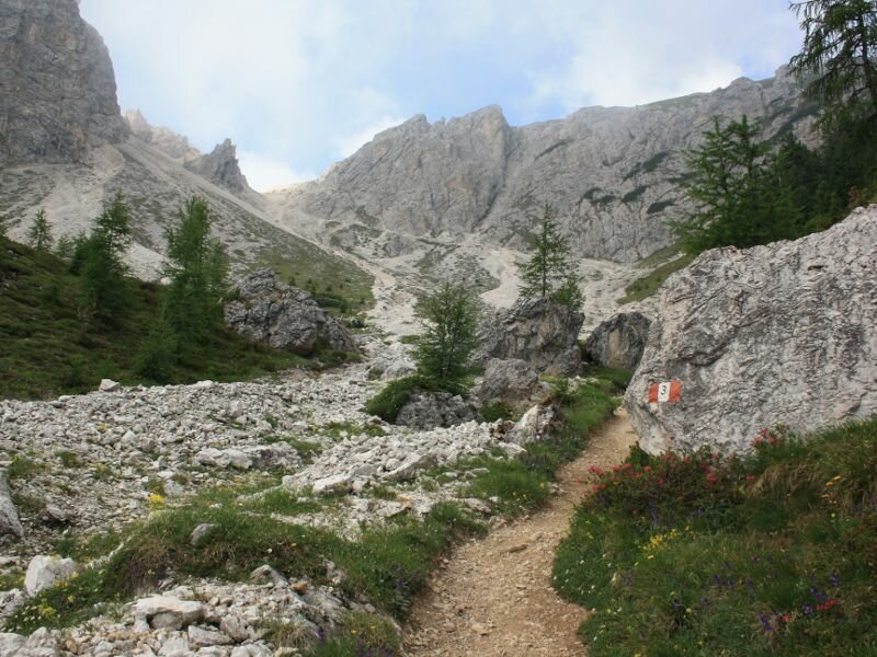
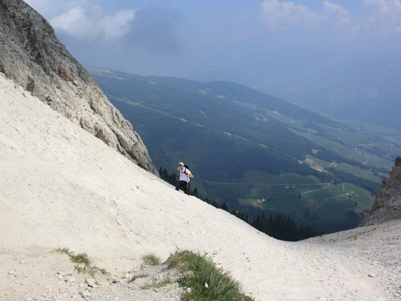
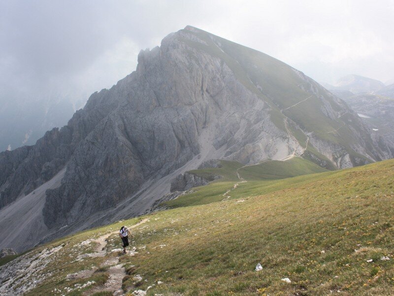
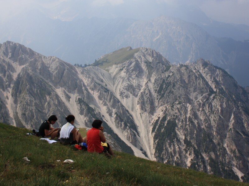
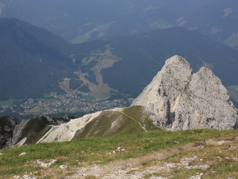
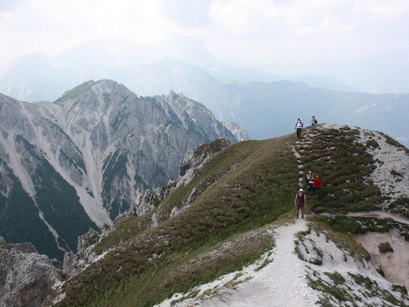
We are now approaching the north-eastern slope of the Piz da Peres where we cross a coniferous forest and continue along a path that leads us to the Forcella Tre Dita which lies between the Cima Tre Dita (2,479 m a.s.l.) and the Piz da Peres (2,507 m a.s.l.). We ascend along the numerous hairpin bends of the avalanche chute. Sturdy hiking shoes and poles are highly recommended as the soil in this section could be slippery due to rain and snowfall. As we arrive at the Forcella Tre Dita we enjoy a stunning view of the Senes area and the Braies Dolomites. We turn right and take path n. 12, which winds across the meadows, and reach the summit cross after 30 minutes of walking. In the north we can recognise the Plan de Corones, in the west the Dolomites with the nearby Cima Tre Dita and the Lec de Fojedöra, as well as San Vigilio di Marebbe southwest of us.
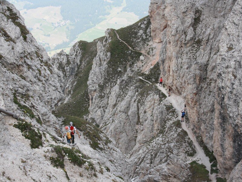
The descent is as interesting as the ascent and absolutely requires sure-footedness. Path no. 12 towards San Vigilio di Marebbe runs along steep, slightly exposed rock steps. Right of the wooden cross known as "Wetterkreuz" we take path no. 12B to Ücia Picio Pre. Then we cross a forest to return to our starting point.
Please note: this varied mountain hike is characterised by uphill sections in the forests, an interesting avalanche chute and meadow slopes on the peak. The wonderful descent leads through rocky soil. This intermediate excursion absolutely requires sure-footedness and mountain experience. Mountaineers who would like to conquer more than one peak can do so by ascending the Tre Dita summit. This hike can be undertaken also in an anticlockwise direction along the more challenging western slope.
Date of the hike: 16 July 2010
Last updated in: 2026
Author: BS
-
- Starting point:
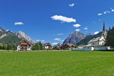
- Passo Furcia, reachable from San Vigilio di Marebbe or Valdaora
-
- Overall time:
- 04:30 h
-
- Total route length:
- 7,3 km
-
- Altitude:
- from 1.758 m to 2.506 m
-
- Altitude difference (uphill | downhill):
- +793 m | -793 m
-
- Route:
- Passo Furcia - Forcella Tre Dita saddle - Mt Piz da Peres - "Wetterkreuz" cross - Ücia Picio Prè - Passo Furcia
-
- Signposts:
- 3, 12, 12B
-
- Destination:
- Piz da Peres
-
- Resting points:
- Ücia Picio Prè
-
- Recommended time of year:
- Jan Feb Mar Apr May Jun Jul Aug Sep Oct Nov Dec
-
- Download GPX track:
- Mountain tour to the Piz da Peres
If you want to undertake this hike, we recommend you to check the weather and trail conditions in advance and on site before setting out.