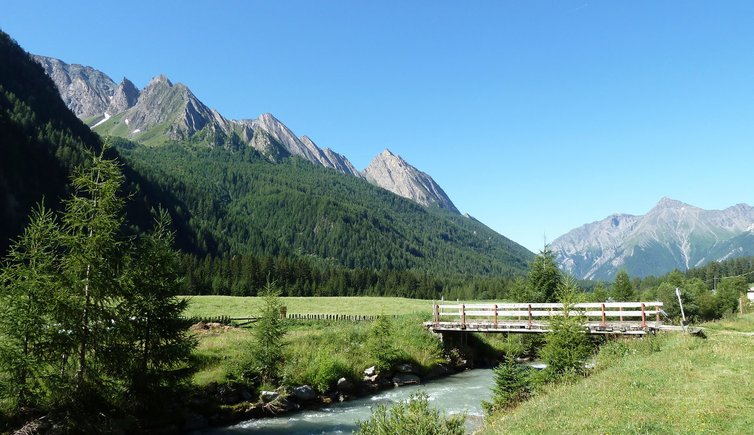
Explore the Fundres Mountains in the Zillertal Alps during a hike along the Pfunderer Höhenweg, a high-altitude path


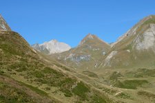
The Fundres Mountains, a subgroup of the Zillertal Alps, owe their name to the eponymous valley in the Val Pusteria. They extend north of the Val Pusteria and south of the main chain of the Alps. The mountain chain is composed of the Cresta Picco della Croce (Kreuzspitzkamm), Cresta Cima Valmala (Wurmaulkamm) Cresta Cima Piatta (Plattspitzkamm), Cresta Monte Gruppo (Grubbachkamm) and Cresta Selva dei Molini (Mühlwalder Kamm).
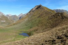
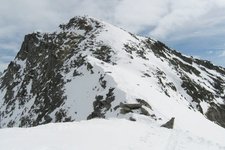
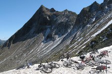
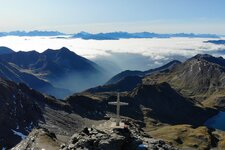
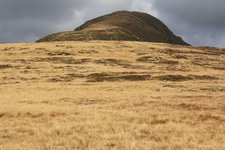
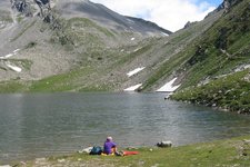
Wonderful valleys and alpine lakes characterise this lesser known mountain range. The highest peak is Picco della Croce (Wilde Kreuzspitze, 3,132 m a.s.l.) with its impressive two peaks. The Wilde See, a wonderful alpine lake not to miss, lies at the foot of this summit. Other peaks worth mentioning are the Cima Valmala (Wurmaulspitze, 3,022 m a.s.l.), la Cima Grava (or Grabspitze, 3,059 m a.s.l.), and the Guardia Alta Est (or Östlicher Hochwart, 3,068 m a.s.l.) ed Ovest (or Östlicher Hochwart). The mountain range is composed of Schist, Gneiss and Granite.
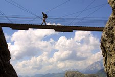
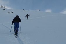
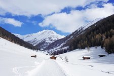
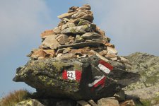
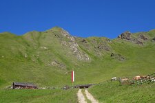
We recommend undertaking a multi-day hike along the Pfunderer Höhenweg (or Alta Via di Fundres), a high altitude path running between 2,000 and 3,000 metres of altitude. It connects the city of Vipiteno to Fundres and leads through a stunning natural landscape. The most well-known mountain huts in the Fundres Mountains are the rifugio Ponte di Ghiaccio (or Eisbruggjochhütte at 2,545 m a.s.l.) and the Rifugio Bressanone (or Brixner Hütte at 2,307 m a.s.l.
Highest peak: Mt Picco della Croce (3,132 m)
Territory: South Tyrol